Equipment
All our instruments are our own and are checked regularly. That way we start when you need us and know exactly what accuracy each one delivers.
Aerial
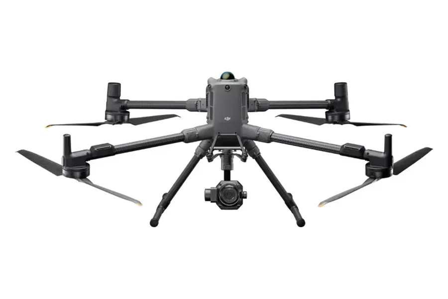
DJI Matrice 400 with Zenmuse P1
High-accuracy photogrammetry with a full-frame sensor.
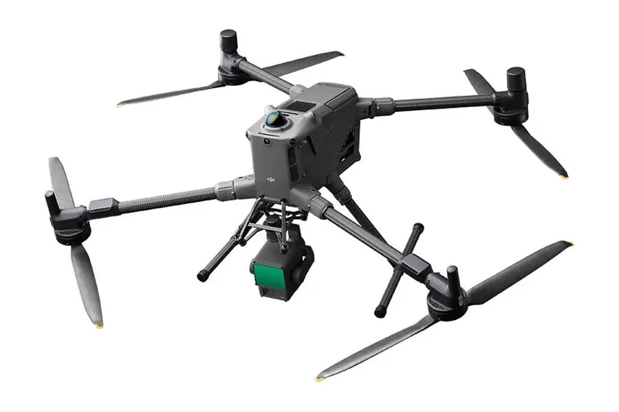
DJI Zenmuse L2
Aerial LiDAR, for terrain models beneath vegetation.
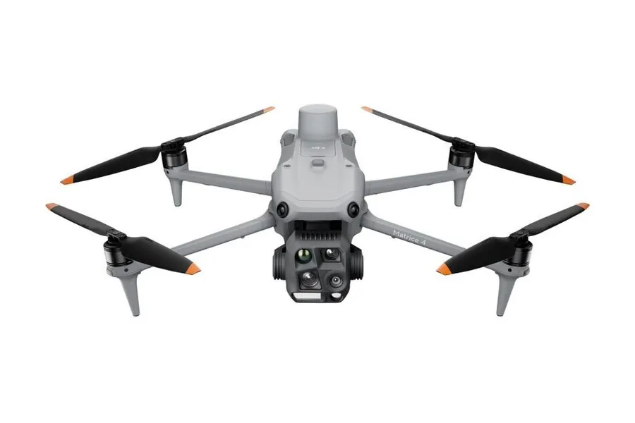
DJI Matrice 4E
Rapid surveys and project monitoring with RTK.
Scanning
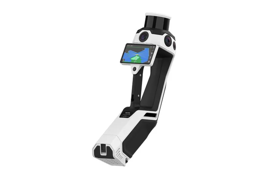
NavVis MLX
Portable SLAM scanner for buildings, basements and utility networks.
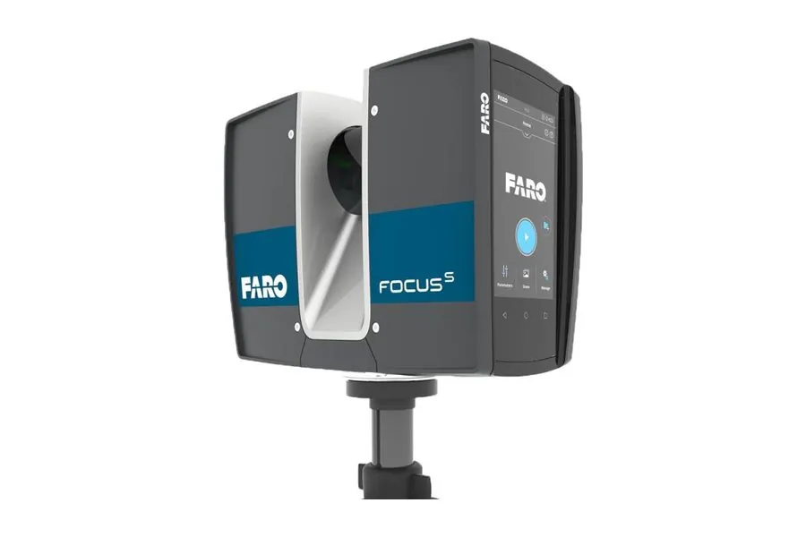
FARO Focus S70
Terrestrial laser scanner, ranging error ±1 mm.
Water
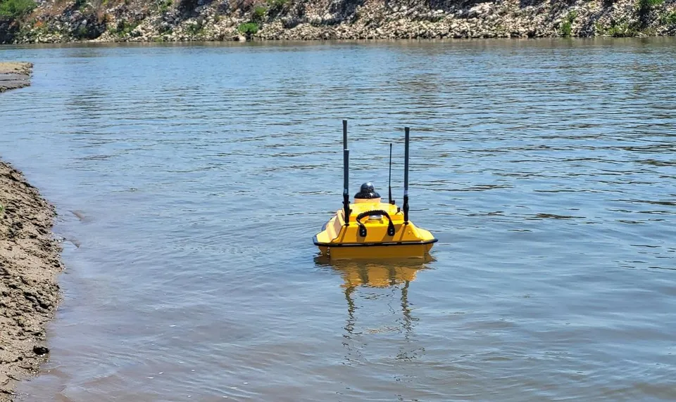
CHCNAV Apache 3 Pro
Unmanned surface vessel with a single-beam echo sounder and RTK.
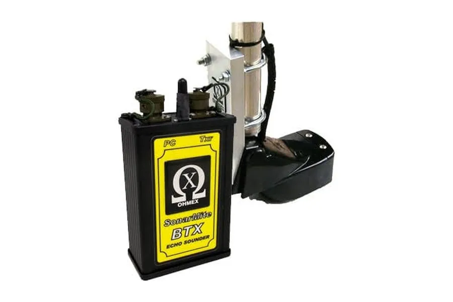
Boat with OHMEX SonarMite BTX echo sounder
Inflatable boat with a portable single-beam echo sounder and GNSS RTK, for longer distances and open water.
Ground
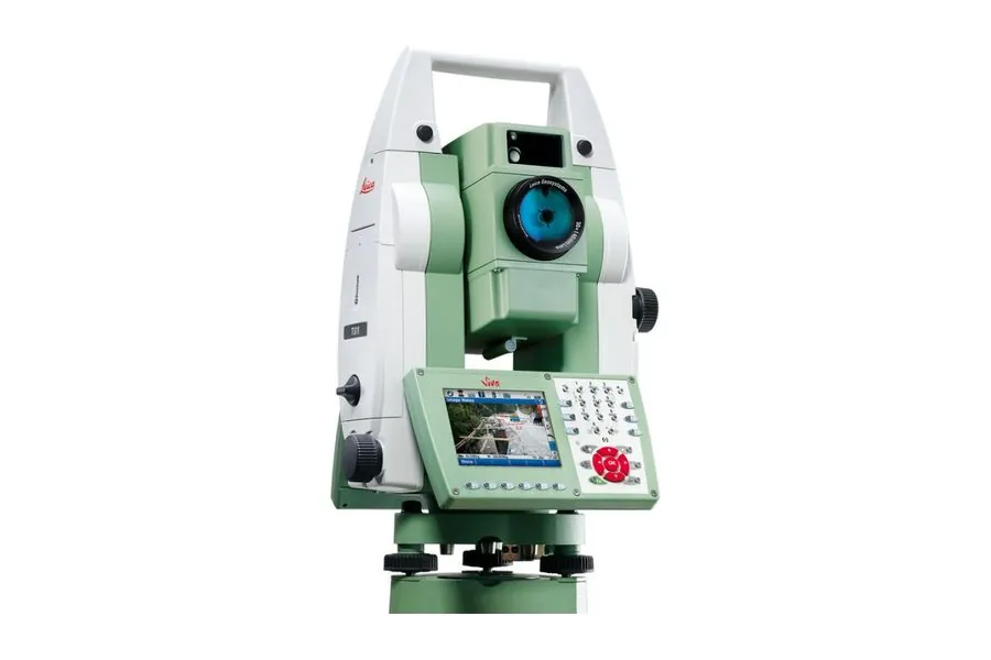
Leica TS11 and TS06
Total stations for survey plans, setting out and quantity measurements.
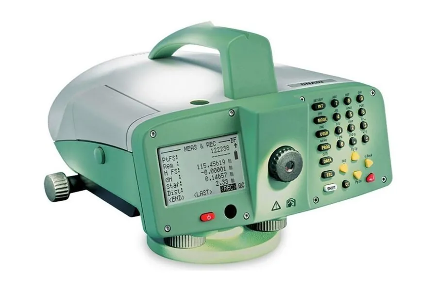
Leica DNA03
Precise digital level for settlement monitoring.
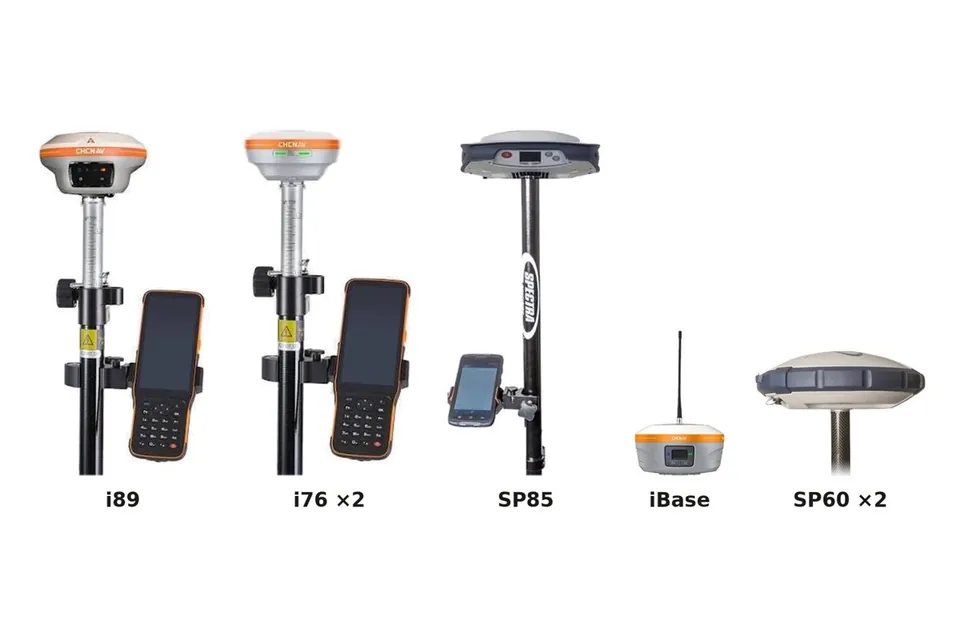
CHCNAV and Spectra GNSS receivers
Seven RTK receivers, with HEPOS (the Greek GNSS reference network) and SmartNet, for simultaneous measurements at many points.
What we use for each job
The choice depends on the accuracy, the extent and the environment.
| You need | We use | Typical accuracy |
|---|---|---|
| Survey plan of a plot or field | GNSS RTK, total station | 1–3 cm |
| Base mapping of a large area | Matrice 400 with Zenmuse P1 | 2–5 cm |
| Ground under vegetation | Drone with Zenmuse L2 | 3–5 cm |
| Facades of a monument or building | FARO S70, low-altitude drone | millimetres |
| Interiors, basements | NavVis MLX | about 5 mm |
| Harbour or lake bed | Apache 3 Pro, boat with SonarMite BTX | centimetres to decimetres, depending on depth |
| Settlement of structures | Leica DNA03 | sub-millimetre |
Values are indicative. The accuracy of each project is set in our proposal and checked against independent points.
Tell us what needs to be measured.
We reply the same or the next working day with a proposed method and cost.