Cadastre corrections and photo-interpretation
Corrections of boundaries and areas in the Cadastre, and photo-interpretation of historical aerial photographs.
Errors in the area or the boundaries of a land parcel in the Cadastre are corrected with a well-documented file. We prepare the survey plans and technical reports required. We also interpret historical aerial photographs to show what existed on the ground and when.
When you need it
- The area or boundaries in the Cadastre differ from the title deeds
- A survey plan for a forest-status classification act, when you need to know whether a property is classed as forest
- You need proof of land use at an earlier date
- A boundary difference that must be documented in court
What you receive
- Survey plan and coordinate table for the correction application
- Technical photo-interpretation report with the aerial photographs and their dates
- Comparison maps of the situation decade by decade
- Files for submission to the Cadastre systems
Frequently asked questions
Where do I find my KAEK (the 12-digit cadastral code)?
On the cadastral diagram extract or on the property sheet. You can also locate the land parcel on the free Cadastre map on our website.
What is photo-interpretation?
The study of aerial photographs from different years, for example from 1945 or 1960, to document the shape and use of an area of land at that time. It is used in boundary disputes and in land-use cases.
Related projects
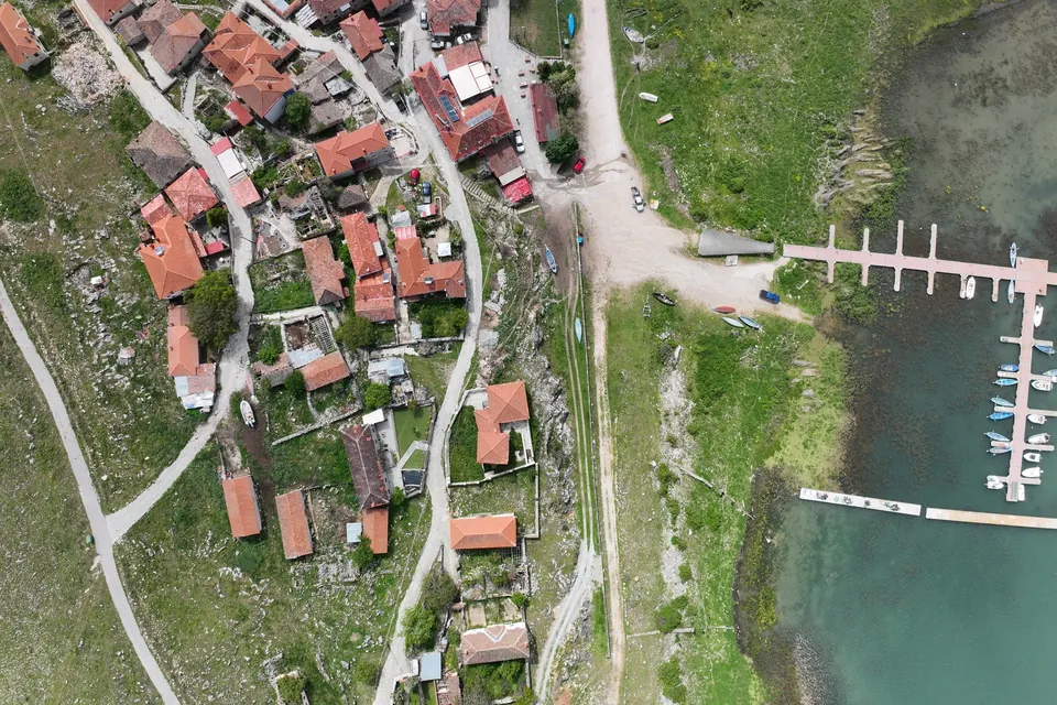
New jetty at Psarades, Lake Prespa
Survey on land, from the air and under water, for the design and placement of a new jetty on Lake Great Prespa.
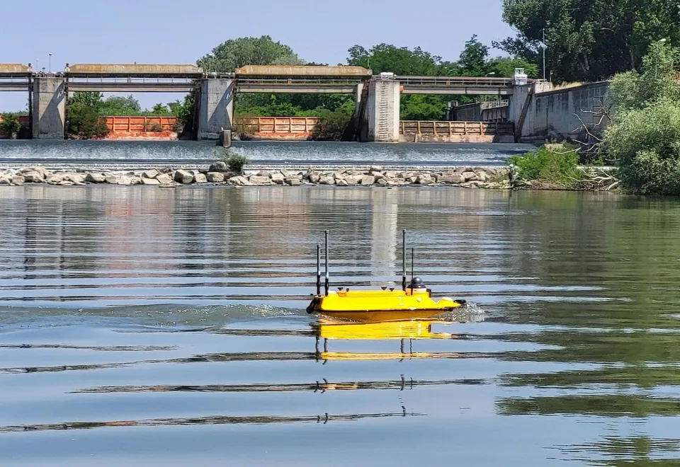
Hydrographic survey of the Axios River
Riverbed cross-sections along a long stretch of the Axios River with the Apache 3 Pro autonomous vessel, for a study of the channel morphology and sediment transport.
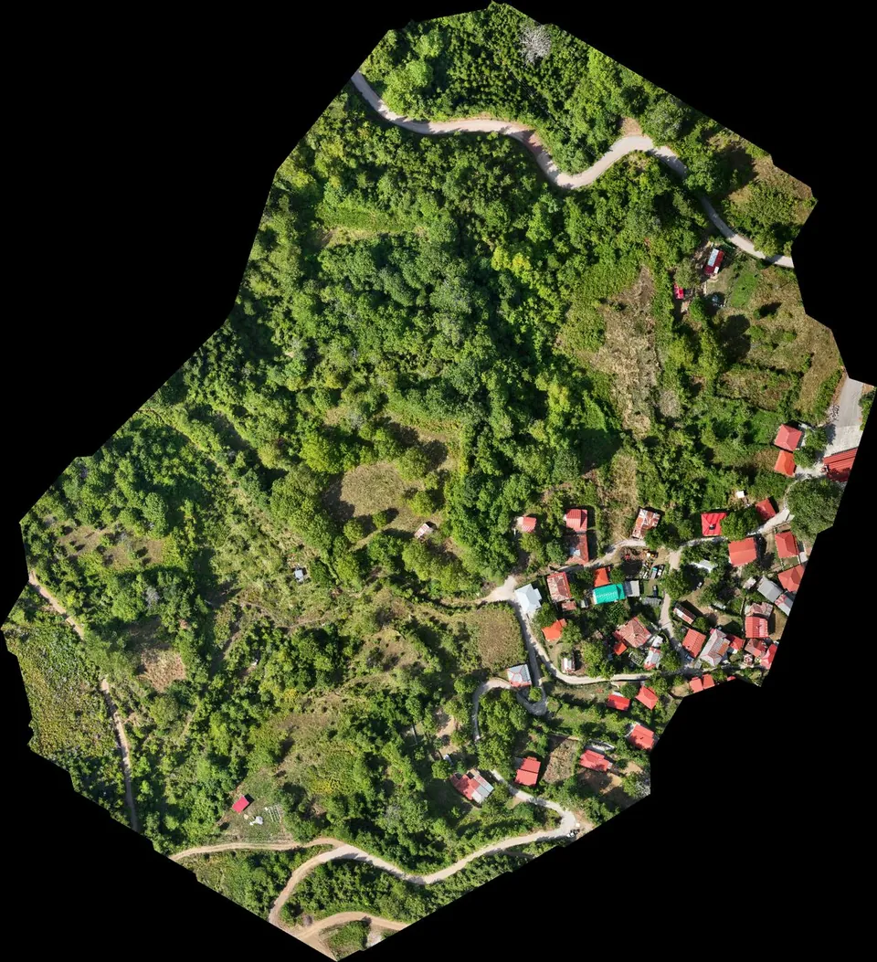
Stream demarcation in a mountain village in Agrafa
Digital terrain model from drone LiDAR for the hydraulic study of a stream demarcation, as part of a Local Urban Plan.