Stream demarcation in a mountain village in Agrafa
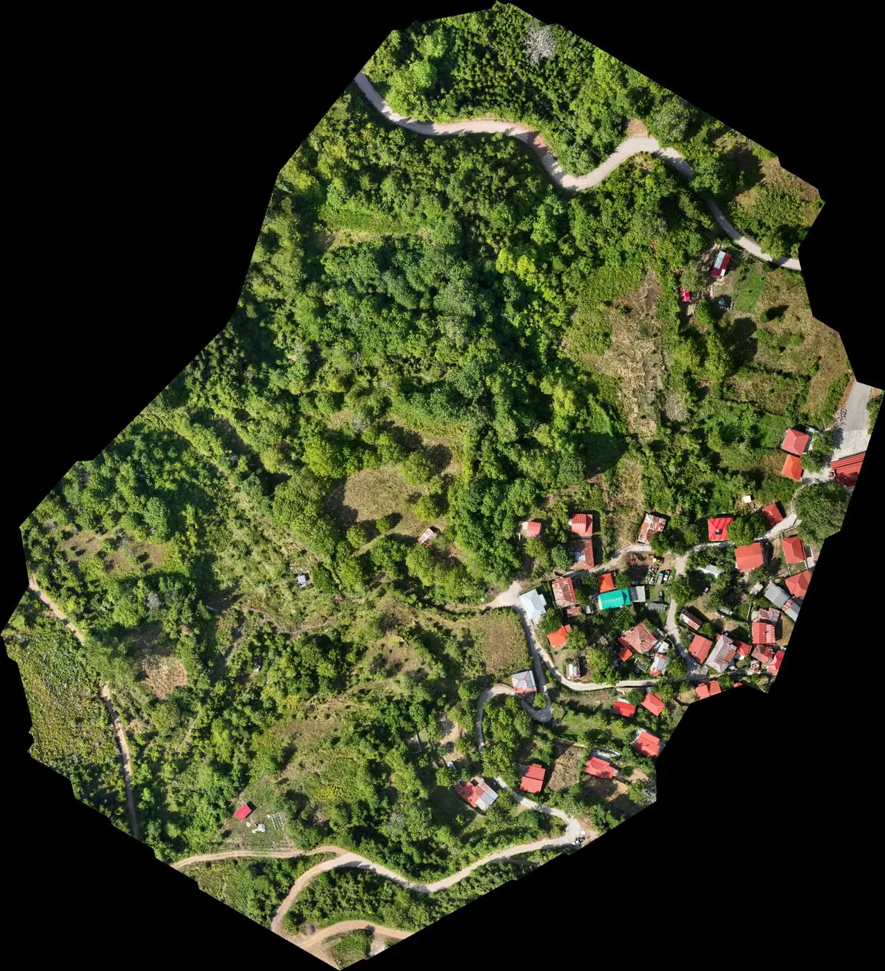
Digital terrain model from drone LiDAR for the hydraulic study of a stream demarcation, as part of a Local Urban Plan.
Point cloud in 3D
Press ‘Ground only’ to see the terrain under the trees, as recorded by the LiDAR. The point cloud has been thinned so that it opens quickly in the browser; the full cloud has 46 million points.
Drag to rotate, scroll or pinch to zoom, right-click or Shift to pan.
The brief
The stream runs through a mountain village, at an altitude of over 1,000 m and under dense forest. The hydraulic study needed accurate terrain of the stream bed and banks, which photogrammetry cannot provide under the trees.
Our approach
We flew the DJI Zenmuse L2 LiDAR sensor, which records up to five returns for each pulse: part of the signal passes between the leaves and reaches the ground. The flight was tied to ground control points measured with GNSS, and ground points were classified separately from vegetation and buildings.
The result
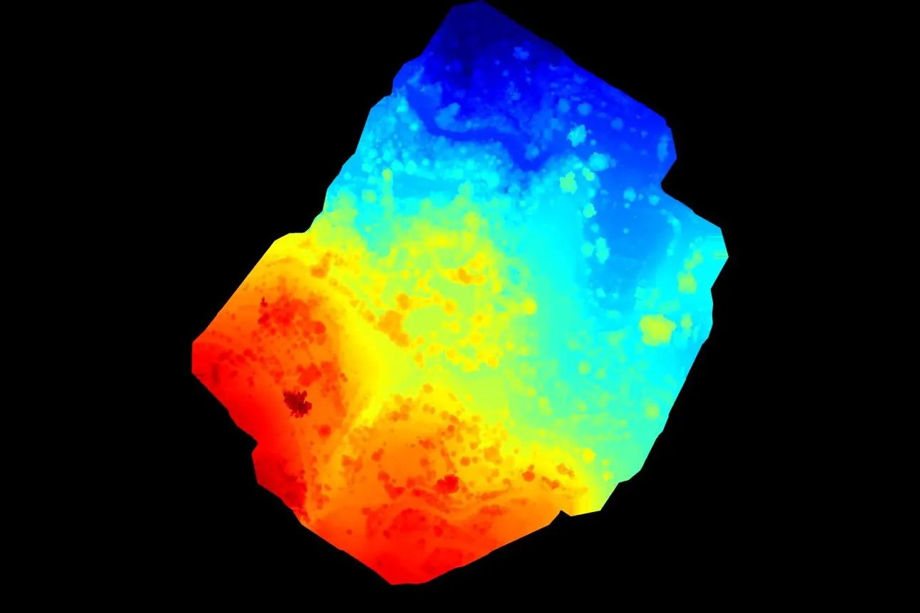
Digital terrain model, contour lines and orthophoto map, as the base for the hydraulic study.
Next project
Road network of Central Macedonia