Mark your area on the map
For drone, LiDAR or bathymetric surveys you can now draw the project area or route on satellite imagery, see its area or length straight away and send it with your request.
What we have been up to: projects, equipment, tools and guides.
For drone, LiDAR or bathymetric surveys you can now draw the project area or route on satellite imagery, see its area or length straight away and send it with your request.
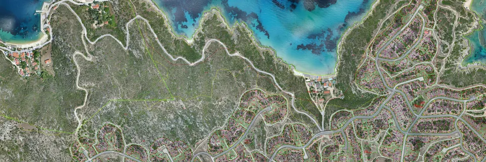
We added photographs, orthophotos and relief maps to our projects: the survey at Kriaritsi in Halkidiki, the underpass bridge at Thermi and the Central Macedonia road network.
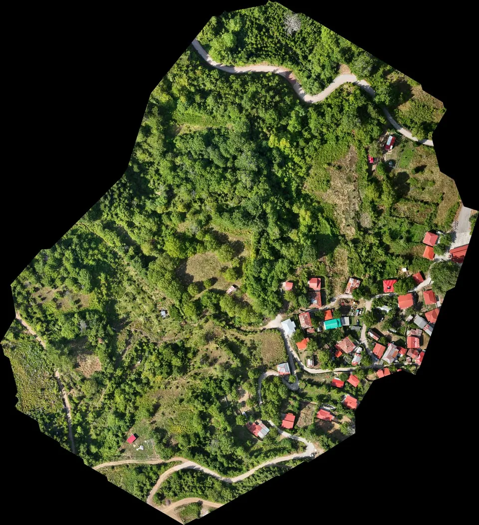
In 2026 we surveyed dozens of streams, from the Agrafa mountains in Evrytania to Imathia, Halkidiki and Thessaloniki, with drone LiDAR, photogrammetry and GNSS. For each stream we deliver a terrain model, contours and cross-sections in a corridor along the channel, ready for the hydraulic demarcation study.
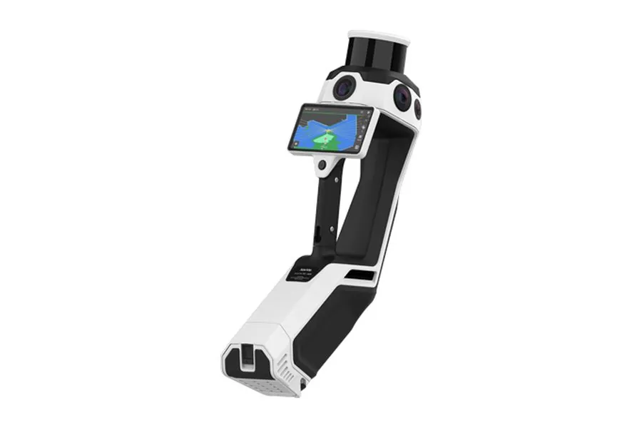
Before choosing our new NavVis MLX handheld scanner, we tested handheld SLAM systems in the same building, with the FARO S70 terrestrial scanner and a geodetic network as reference. At 18 independent check points inside the building the NavVis achieved a mean error of 0.5 cm horizontally and 0.7 cm vertically. This is how we survey buildings, basements and networks on foot, with documented accuracy.
The tools we built for our own work are now freely available on this site: the cadastral map with KAEK search, forest maps, protected zones and DXF export in GGRS87, and the conversion of DJI drone image positions (.MRK) to GGRS87 with the HEPOS grids. Their interface is in Greek.
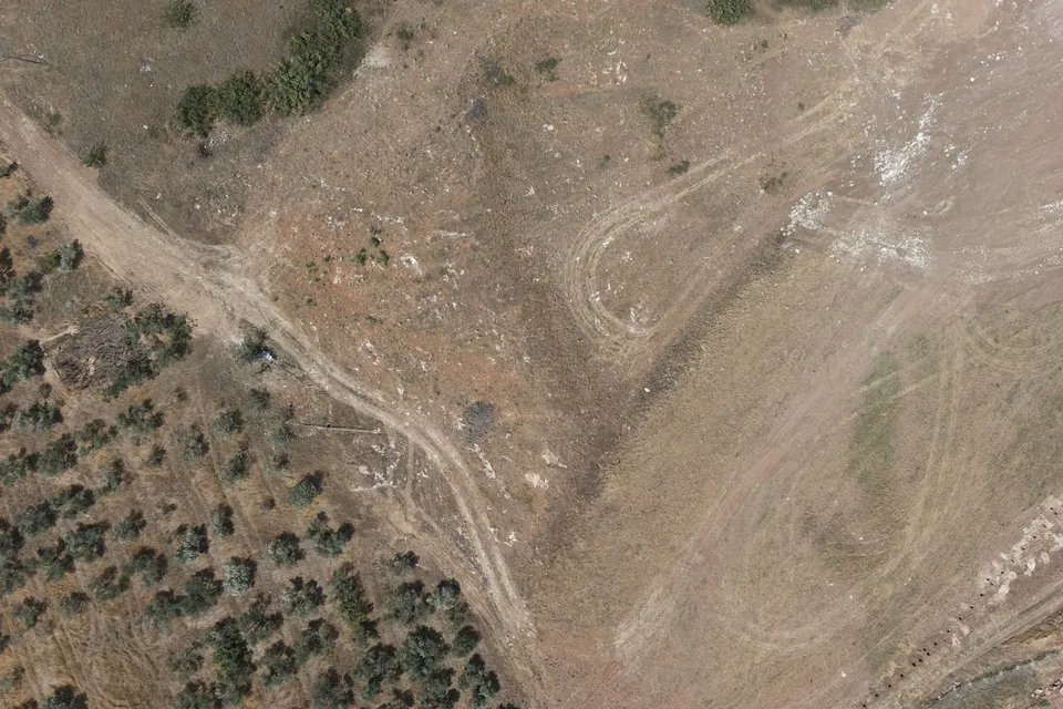
We work on many large solar parks, the largest of 450 MW, in Kilkis, Thessaloniki, Thesprotia, Fokida and elsewhere: drone LiDAR surveys and survey base maps for the design, and as-built surveys as construction progresses. Terrain models, earthworks and internal roads.
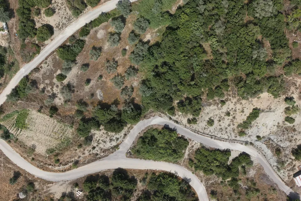
Since July 2026 we have been surveying about 40 km of existing roads and about 15 km of new access roads in Aitoloakarnania, in a 40 m corridor, with drone LiDAR, photogrammetry and ground measurements. We deliver a terrain model, 1:1000 plans, longitudinal profiles and cross-sections.
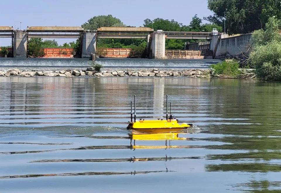
Since May 2026 our bathymetric surveys are carried out with the CHCNAV Apache 3 Pro unmanned surface vessel, with an echo sounder and RTK. Its first jobs included Lake Prespa and a long hydrographic survey of the Axios River.
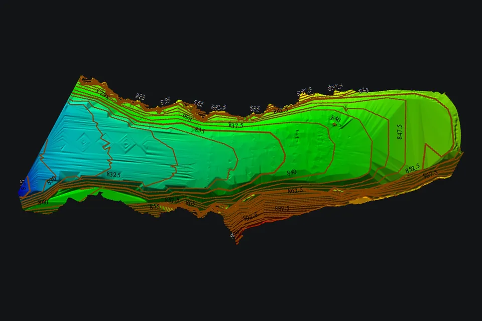
In May 2026 we surveyed the shore at Psarades on Lake Prespa for the design of a new jetty: bathymetry with our autonomous boat, a drone orthophoto and terrain model, and a 1:1000 topographic survey.
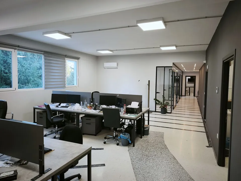
Since August 2025 MAPS has been based in its own new offices at 17is Noemvriou 79 (Building C), Pylaia, Thessaloniki. Visits by appointment.