Hydrographic survey of the Axios River
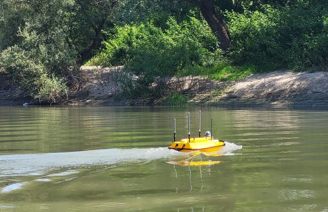
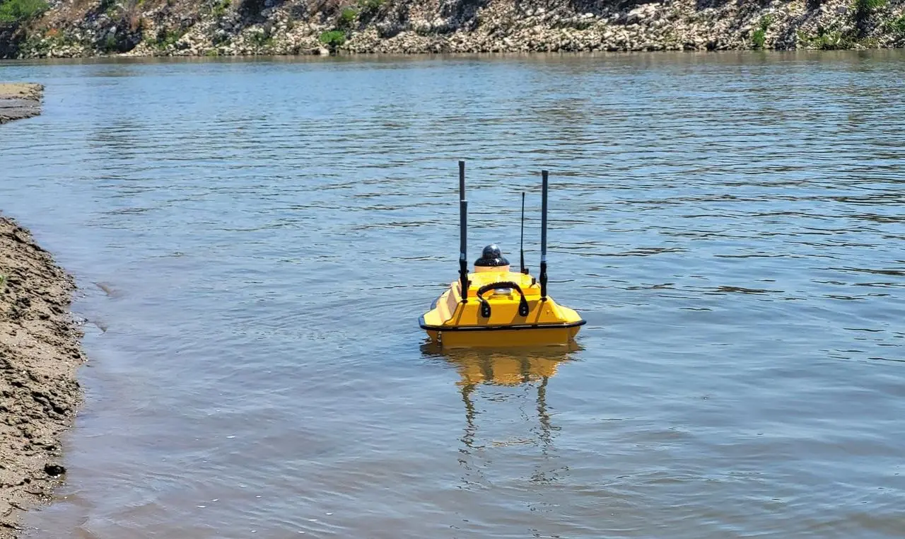
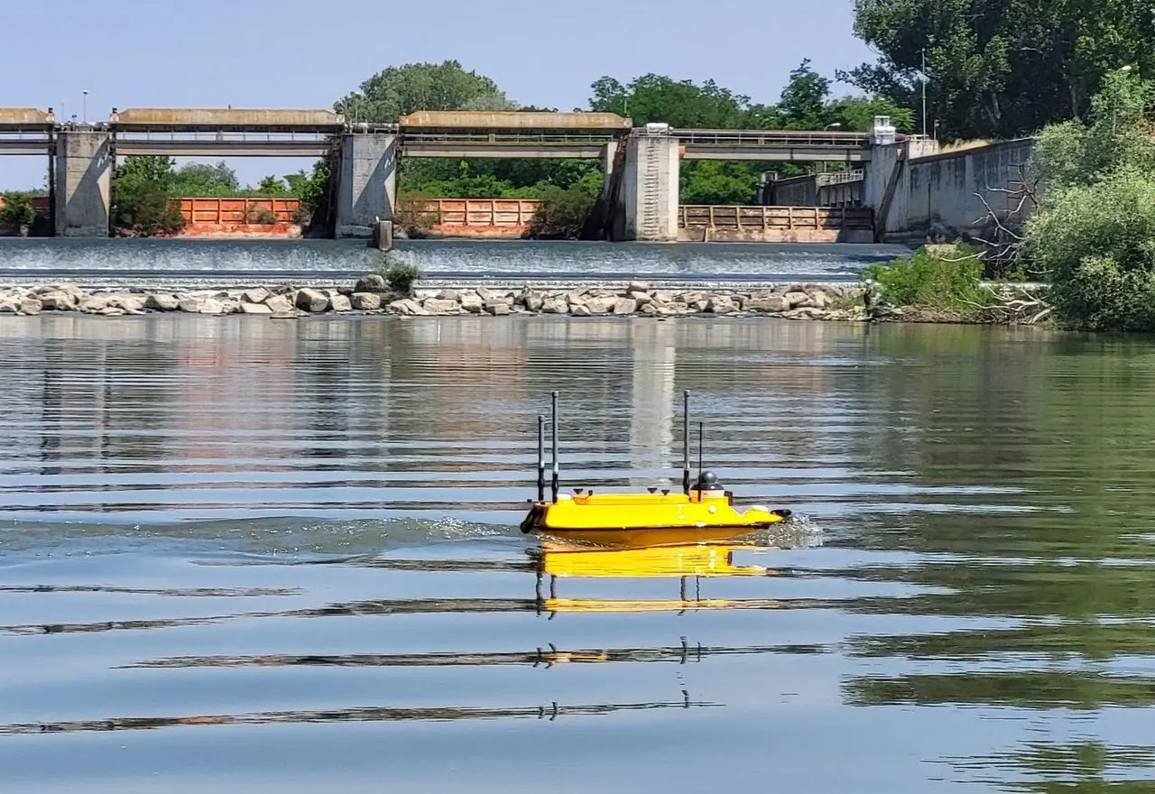
Riverbed cross-sections along a long stretch of the Axios River with the Apache 3 Pro autonomous vessel, for a study of the channel morphology and sediment transport.
The brief
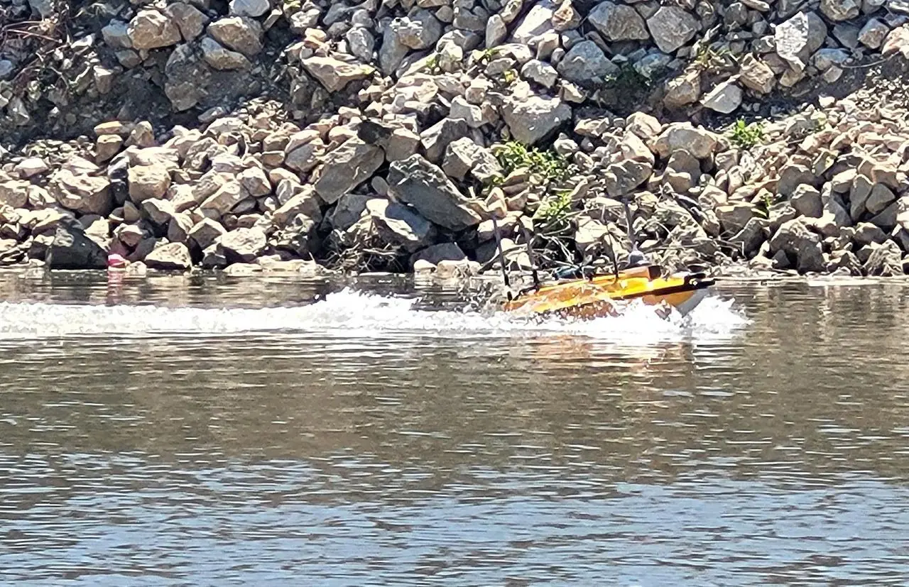
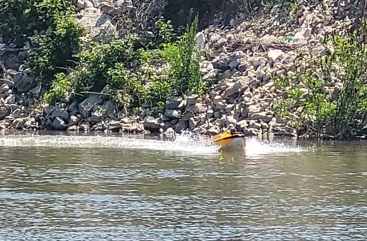
A river with a current of 1.5–2 m/s, islets, logs and changing depths, where a conventional crewed boat works slowly and at risk. The study needed dense cross-sections of the riverbed, perpendicular to the flow.
Our approach
The Apache 3 Pro followed pre-planned cross-sections on autopilot, with a 200 kHz echo sounder, connected in real time to HEPOS (the Greek GNSS reference network). An inflatable boat with the team escorted it, for safety and to deal with obstacles. Riverbed elevations were computed directly from RTK, so they were not affected by changes in water level during the day.
The result
Filtered and corrected riverbed points in GGRS87 (ΕΓΣΑ87), 26 cross-sections in DWG and KMZ files and a technical report on the methodology, ready for the digital riverbed model.