Surveying engineers · Thessaloniki, GreeceWe measure the land, from the air and under the water
We are surveying engineers based in Thessaloniki. Since 2004, across Greece and abroad, we have surveyed properties, industrial plants, roads, streams, lake and river beds and monuments, set up geodetic control networks and supported construction sites. We deliver drawings, models and data ready for design.
Terrain point cloud
illustration
What we measure
From the survey plan of a single plot to the model of a 33-kilometre river. We choose the method according to the accuracy your project needs.
Topographic survey plans and setting out
Tied to GGRS87, the Greek national reference system, for contracts, permits, the Cadastre and the courts.
For: Property owners, notaries, lawyers, engineersCadastre corrections and photo-interpretation
Corrections of boundaries and areas in the Cadastre, and photo-interpretation of historical aerial photographs.
For: Property owners, lawyers, notariesDrone photogrammetry
Orthophoto maps, terrain models and 3D models, with centimetre accuracy over large areas and millimetre accuracy in close-range capture.
For: Design consultants, contractors, municipalities, quarriesAerial LiDAR and mobile SLAM scanning
Terrain models even beneath vegetation, and scanning of buildings or networks on foot.
For: Design consultants, forestry and hydraulic studies, building managersTerrestrial laser scanning and monument surveys
Elevations, sections and floor plans with millimetre accuracy for monuments, buildings and bridges.
For: Architects, archaeologists, Ephorates of Antiquities, structural engineersBathymetric surveys
Depth maps for ports, lakes, reservoirs and riverbeds.
For: Port authorities, municipalities, municipal water utilities, hydraulic design consultantsScan to BIM and 3D models
BIM models of existing buildings from laser scanning, ready for design and facility management.
For: Design offices, contractors, property managersGeodetic control networks and construction site surveying
Control networks with least-squares adjustment, setting out, quantity measurements and construction site support.
For: Contractors, industry, supervising engineers, project ownersRecent projects
From lakes and rivers to castles and mountain villages. For each project you can see what we were asked for, how we measured it and what we delivered. All projects
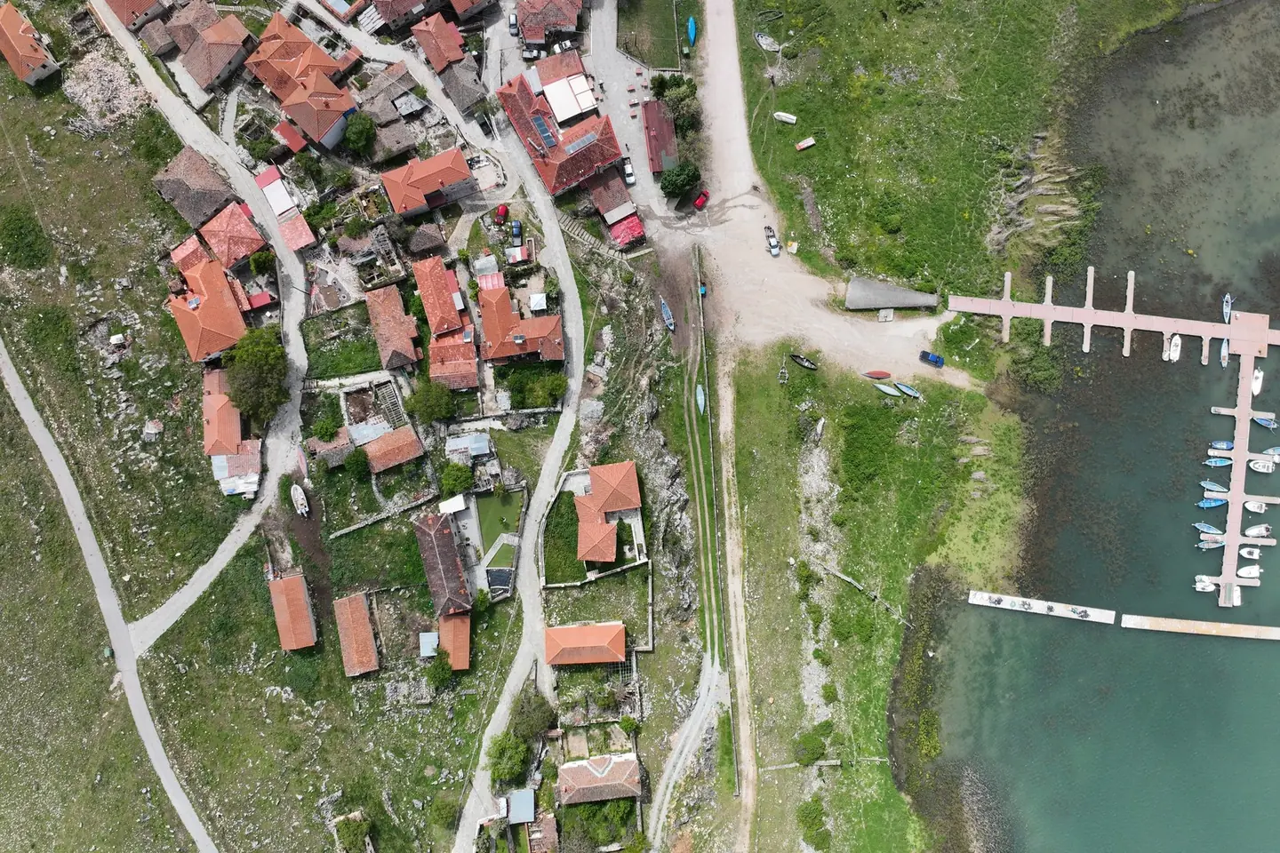
New jetty at Psarades, Lake Prespa
Survey on land, from the air and under water, for the design and placement of a new jetty on Lake Great Prespa.
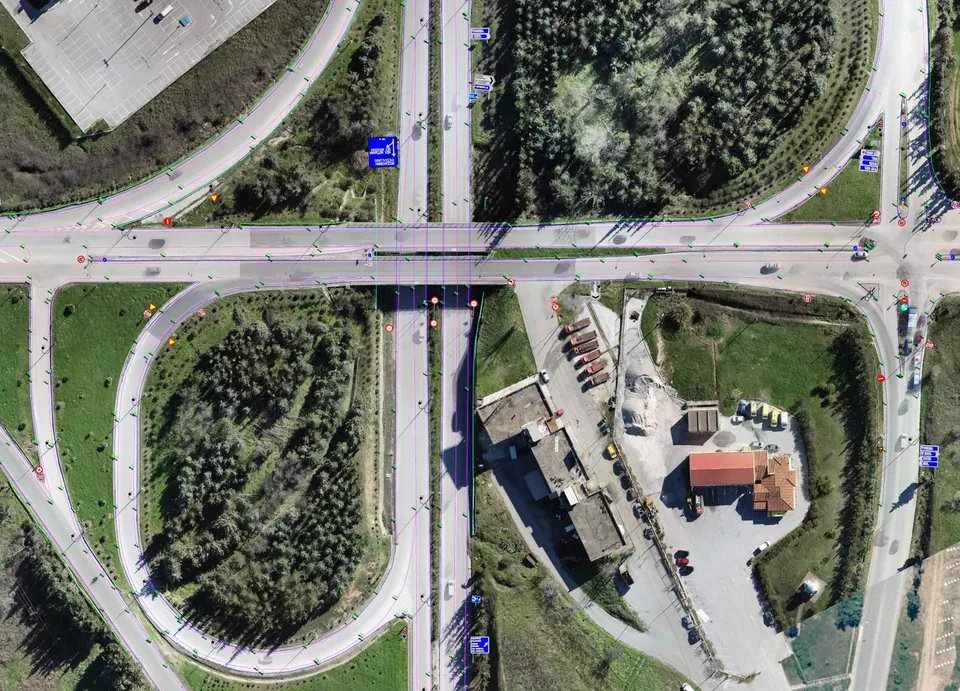
Road network of Central Macedonia
Survey of about 500 kilometres of the main road network of Central Macedonia, including the Thessaloniki – Moudania national road.
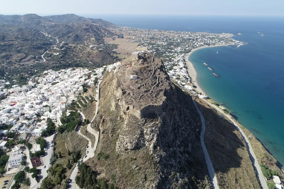
Skyros Castle
Complete 3D survey of the castle with more than 13,000 images and an accuracy better than 5 millimetres.
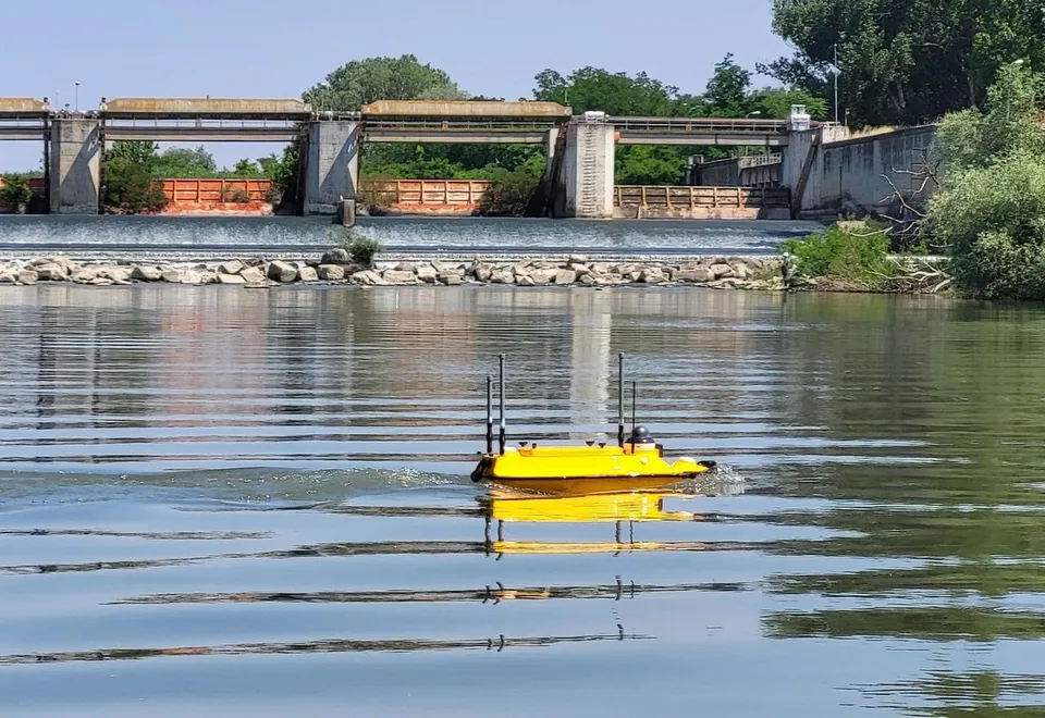
Hydrographic survey of the Axios River
Riverbed cross-sections along a long stretch of the Axios River with the Apache 3 Pro autonomous vessel, for a study of the channel morphology and sediment transport.
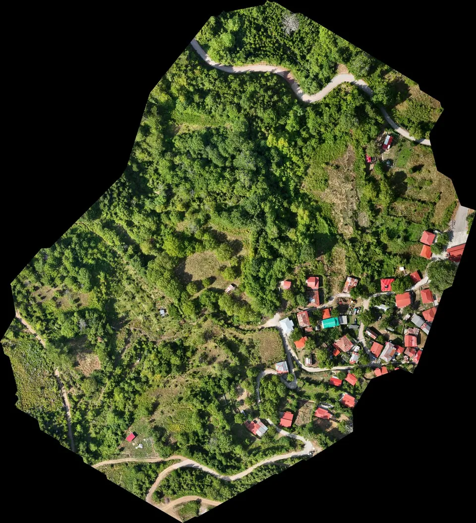
Stream demarcation in a mountain village in Agrafa
Digital terrain model from drone LiDAR for the hydraulic study of a stream demarcation, as part of a Local Urban Plan.
Free Greek cadastral map
Find a land parcel in Greece by its KAEK (the 12-digit cadastral code) or address and see it on an orthophoto, together with settlement limits, town plans, forest maps and protected zones.
Download the boundary as DXF in GGRS87 (ΕΓΣΑ87) or as KMZ for Google Earth. We built it for our own work and share it freely with fellow engineers, lawyers and property owners. The map interface is in Greek.
MAPS Atlas
From measurement to the final drawing in one environment: point clouds, classification, terrain models, sections, Cadastre data and delivery as DXF in GGRS87.
- One-click workflows: noise → ground → DTM → contours
- Millions of points in 3D, many clouds together
- Buildings, roads, streams, quarries, monuments, bathymetry
Our equipment
We own instruments for every environment, so we never have to rent or wait. All equipment
DJI Matrice 400 with Zenmuse P1
High-accuracy photogrammetry with a full-frame sensor.
DJI Zenmuse L2
Aerial LiDAR, for terrain models beneath vegetation.
NavVis MLX
Portable SLAM scanner for buildings, basements and utility networks.
FARO Focus S70
Terrestrial laser scanner, ranging error ±1 mm.
CHCNAV Apache 3 Pro
Unmanned surface vessel with a single-beam echo sounder and RTK.
CHCNAV and Spectra GNSS receivers
Seven RTK receivers, with HEPOS (the Greek GNSS reference network) and SmartNet, for simultaneous measurements at many points.
Leica TS11 and TS06
Total stations for survey plans, setting out and quantity measurements.
Leica DNA03
Precise digital level for settlement monitoring.
How we work
One responsible engineer from the first call to delivery.
You describe the project
By phone or through the form. Send us any documents you have and the location of the property or area.
We propose method and cost
A written proposal with accuracy, deliverables and schedule.
We survey on site
With the right equipment: GNSS, total stations, drones, laser scanners or a survey boat.
We deliver checked files
Drawings, models and an accuracy report, in the formats your team uses.
Guides
Answers to the questions we hear most often. All guides
Topographic survey plan: what it is and when you need it
A practical guide for property owners: what a survey plan shows, when you will be asked for one and how to prepare.
KAEK: how to read your property's cadastral code
The KAEK (Κωδικός Αριθμός Εθνικού Κτηματολογίου, the national cadastral code) is the “identity card” of every property. See what each group of digits tells you.
LiDAR or photogrammetry? How we choose the method
Both methods produce a 3D model from the air. The difference shows on the ground, under the trees.
Tell us what needs to be measured.
We reply the same or the next working day with a proposed method and cost.