Skyros Castle
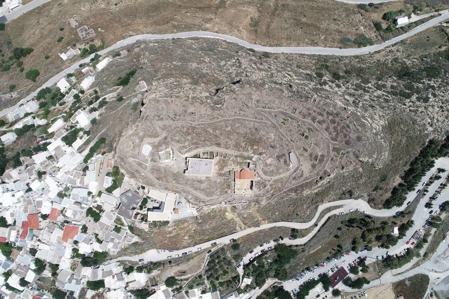
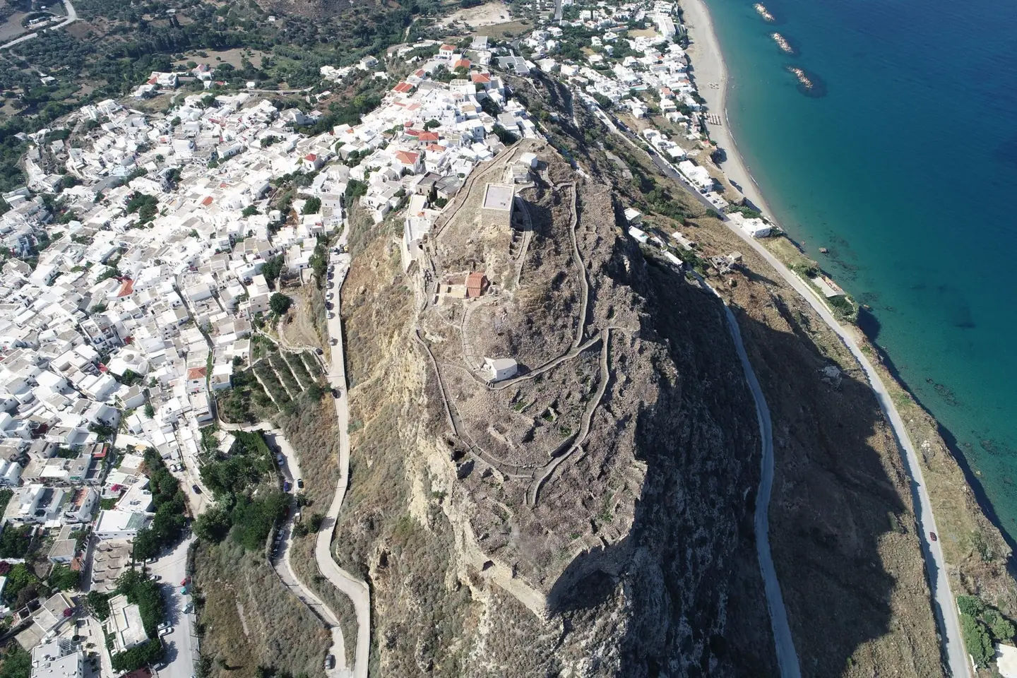
Complete 3D survey of the castle with more than 13,000 images and an accuracy better than 5 millimetres.

The video loads from YouTube only when you press play. Open on YouTube
Point cloud in 3D
About 1 million points in true colour. The point cloud has been thinned so that it opens quickly in the browser; the full cloud is much denser.
Drag to rotate, scroll or pinch to zoom, right-click or Shift to pan.
The brief
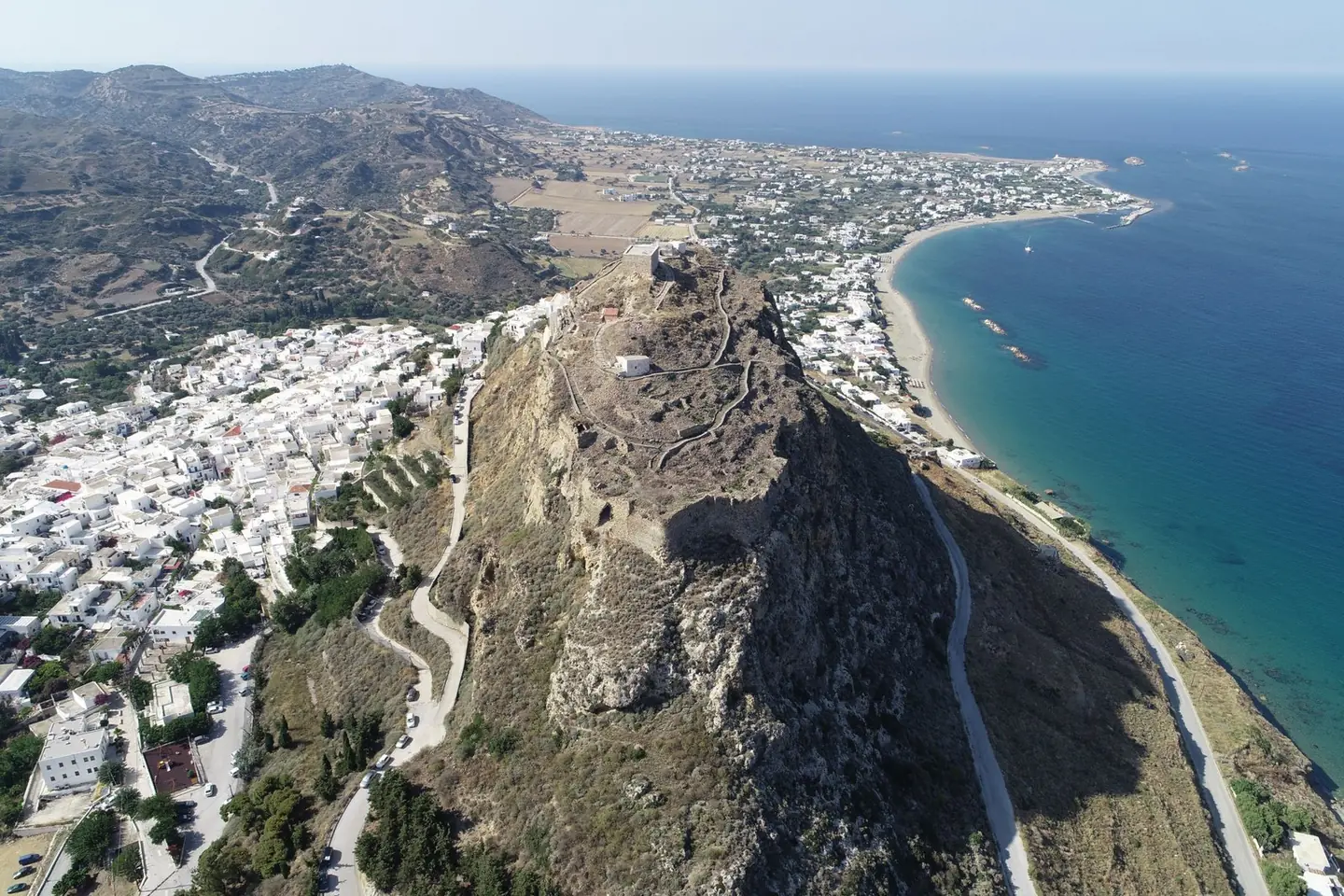
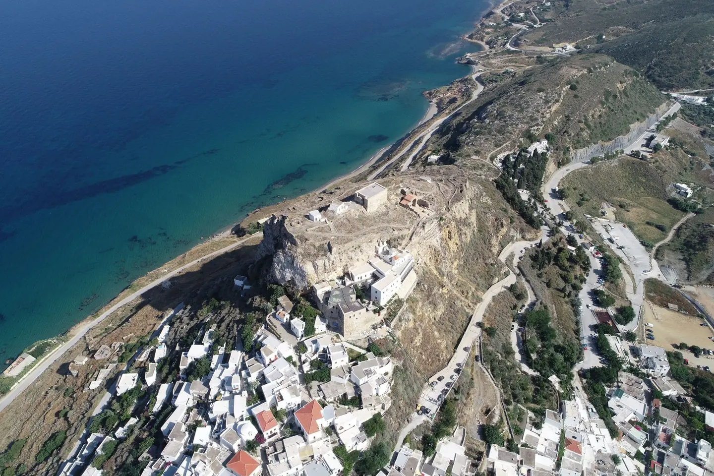
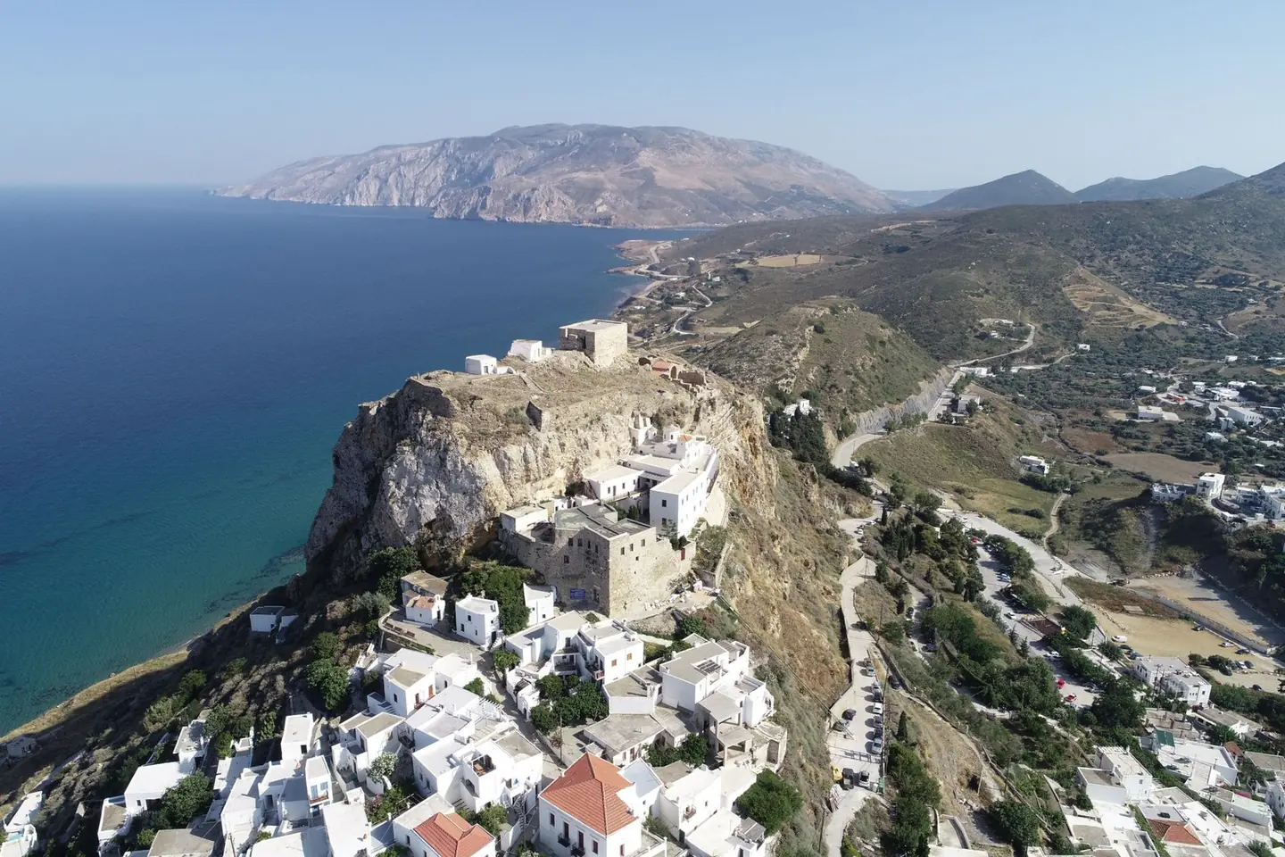
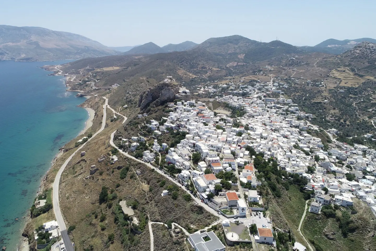
The castle stands on top of a steep rock above Chora. The walls are high, the slopes are sheer and many parts cannot be reached safely from the ground. The conservation works on the monument and the stabilisation of the rock slopes below the Castle and the Monastery of Agios Georgios needed detailed drawings of every elevation.
Our approach
We established a triangulation and traverse network with GNSS and a total station. We flew a drone at low altitude around every section of the walls, with vertical and oblique images, added ground photographs, and laser scanned the whole upper part of the castle. All data were tied to GGRS87 (ΕΓΣΑ87).
The result
More than 13,000 ground and aerial photographs, with a ground resolution of 2 millimetres, and the laser scans produced a point cloud and a model with an accuracy better than 5 millimetres. We delivered elevations, sections and plans at 1:50 and a topographic survey plan at 1:200 and 1:500.
Next project
Gallikos River