Projects
For each project we describe what was asked for, how we measured it and what we delivered.
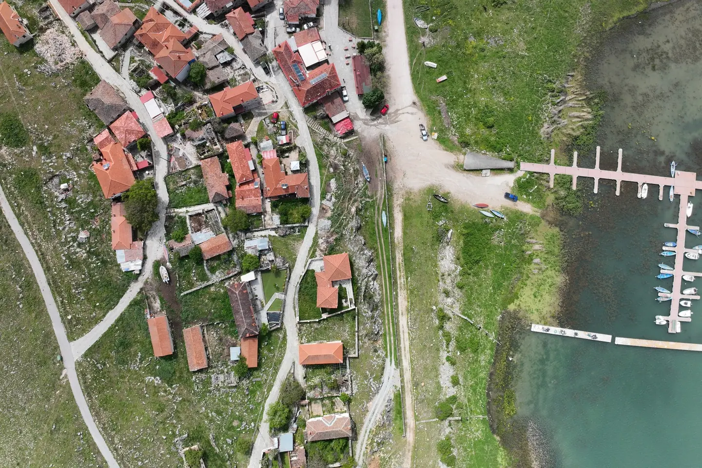
New jetty at Psarades, Lake Prespa
Survey on land, from the air and under water, for the design and placement of a new jetty on Lake Great Prespa.
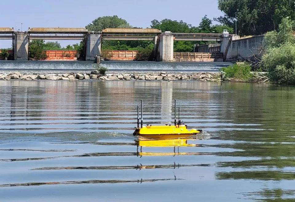
Hydrographic survey of the Axios River
Riverbed cross-sections along a long stretch of the Axios River with the Apache 3 Pro autonomous vessel, for a study of the channel morphology and sediment transport.
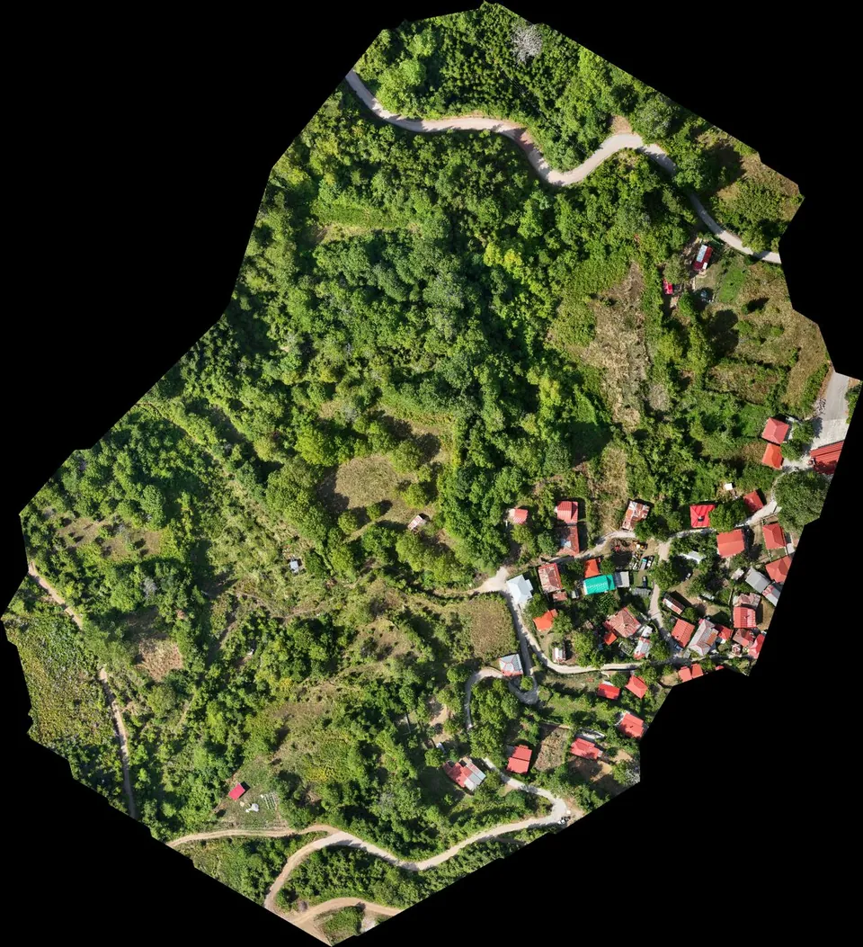
Stream demarcation in a mountain village in Agrafa
Digital terrain model from drone LiDAR for the hydraulic study of a stream demarcation, as part of a Local Urban Plan.
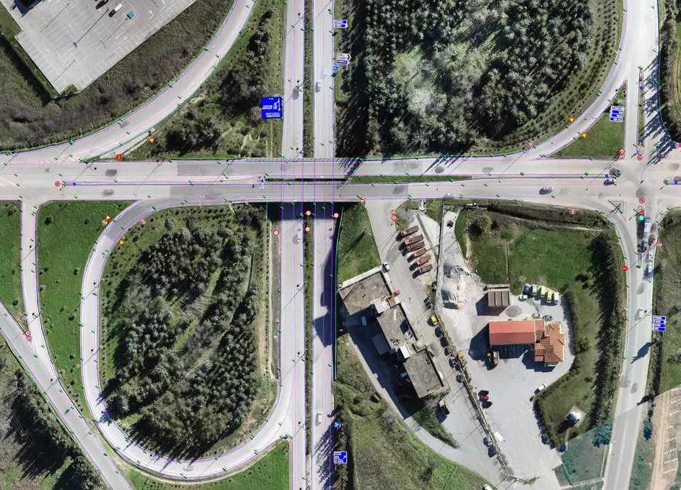
Road network of Central Macedonia
Survey of about 500 kilometres of the main road network of Central Macedonia, including the Thessaloniki – Moudania national road.
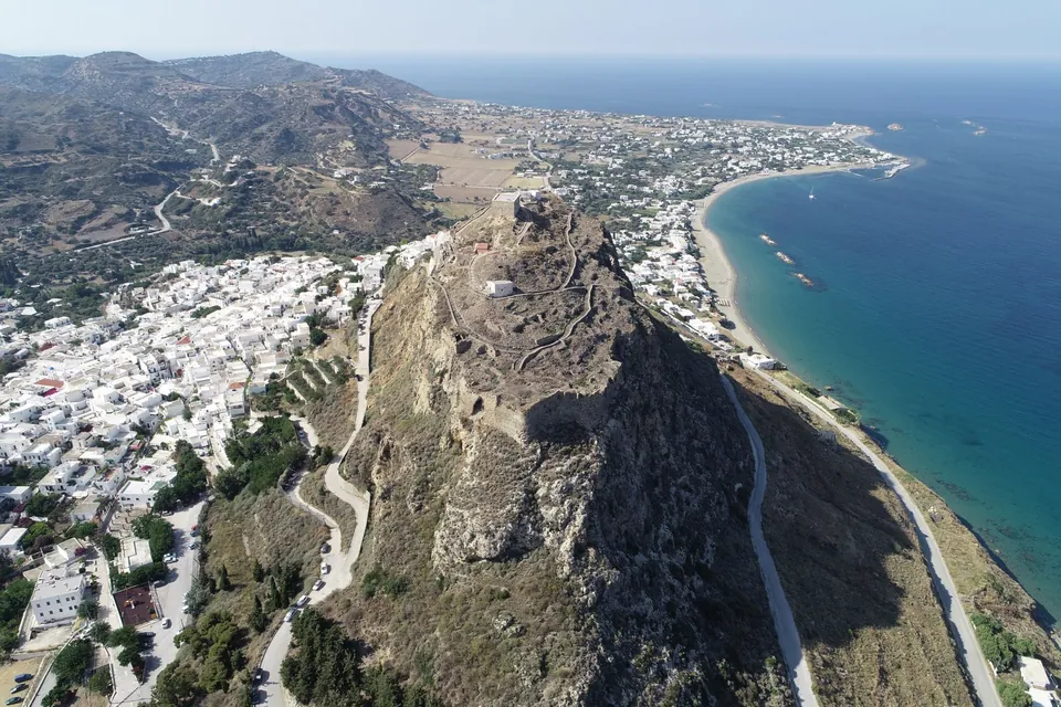
Skyros Castle
Complete 3D survey of the castle with more than 13,000 images and an accuracy better than 5 millimetres.
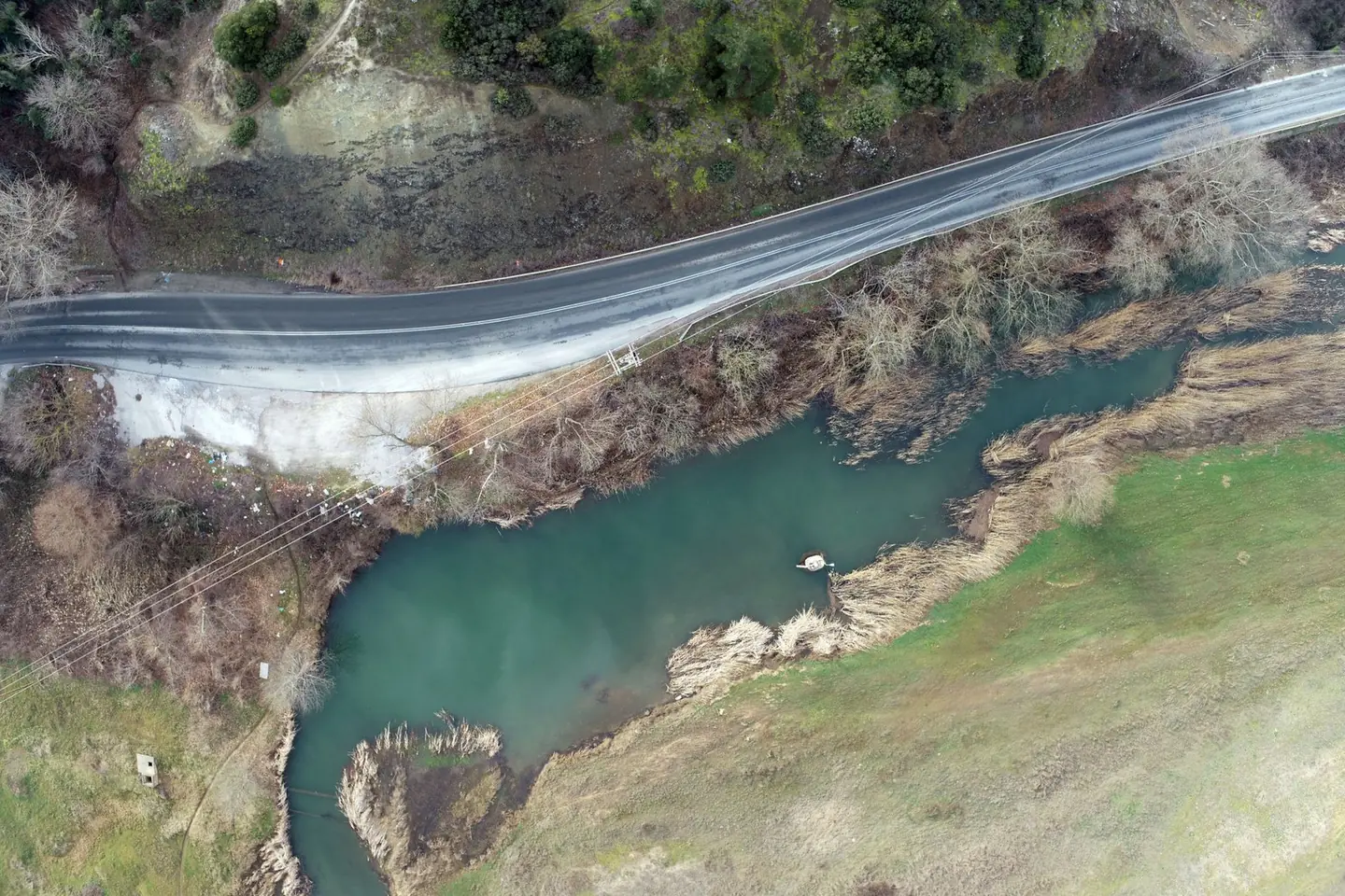
Gallikos River
Orthophoto map and terrain model for 33 kilometres of river channel, over an area of about 20 square kilometres.
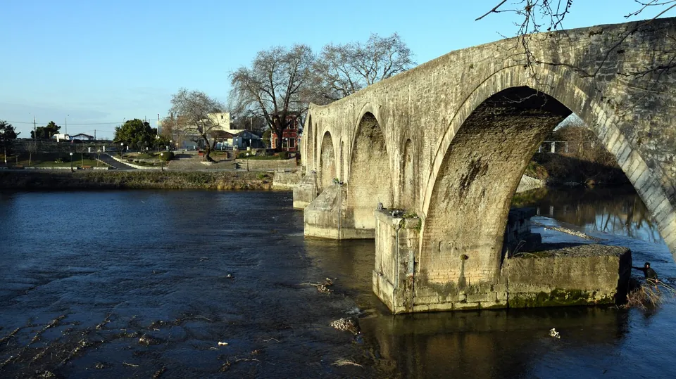
Bridge of Arta
3D survey of the historic bridge for its structural adequacy assessment.
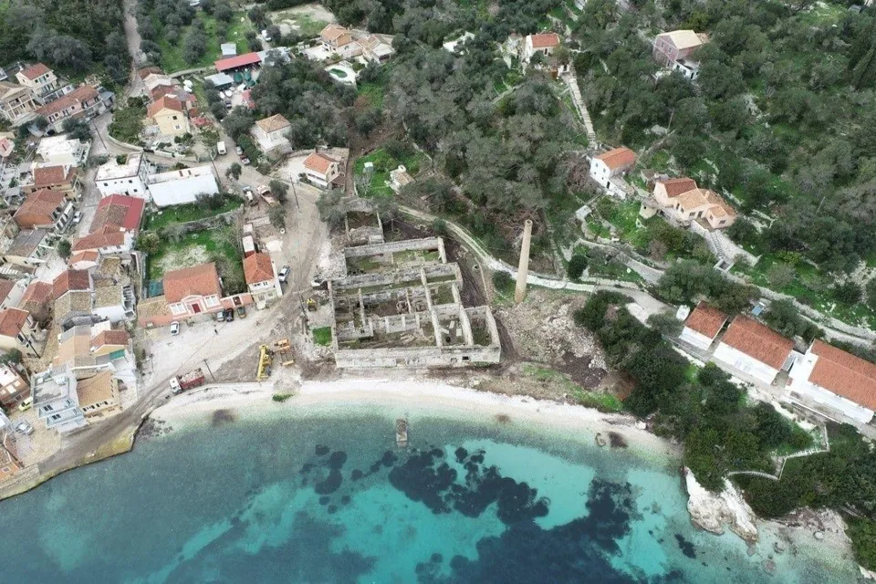
Historic olive mill on Paxos
3D survey of a historic olive mill complex, for its conversion into a hotel.
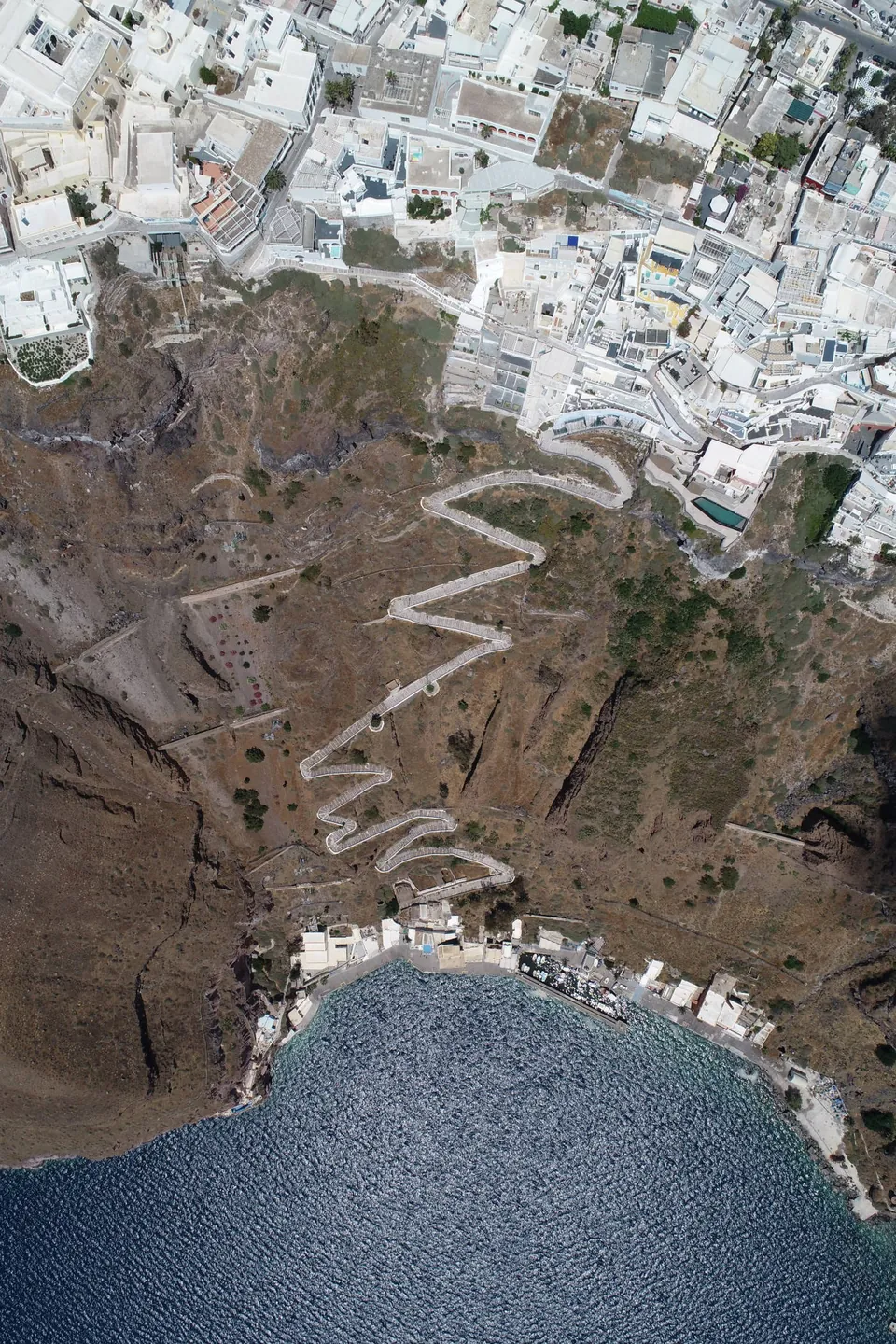
Settlements of Santorini
Mapping of most of the settlements of Santorini from the air and from the ground, with an orthophoto map accurate to 2–3 centimetres.
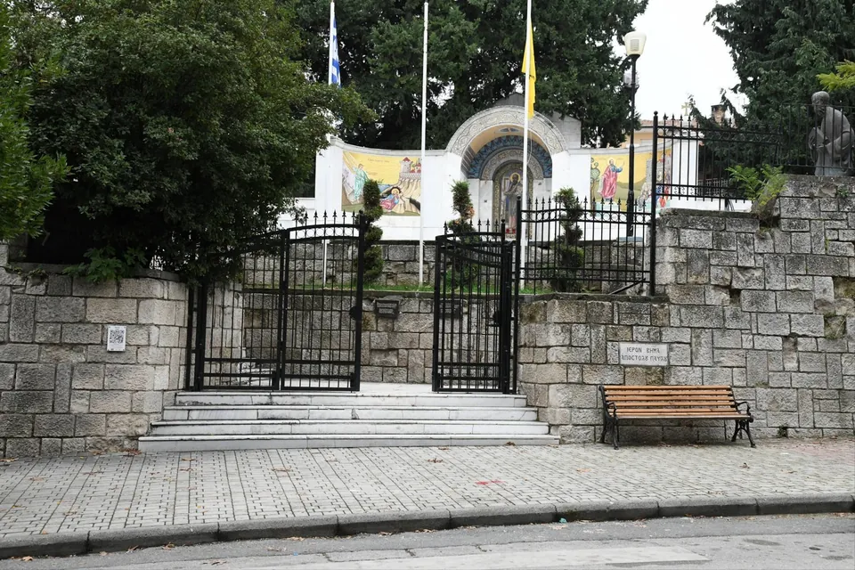
The Bema of the Apostle Paul
3D recording of the historic site for its conservation and redevelopment, with a point cloud accurate to a few millimetres.
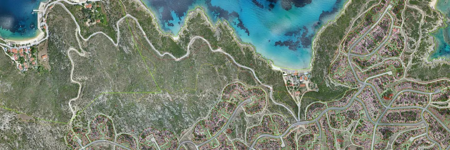
Kriaritsi, Halkidiki
Topographic base map of 13 square kilometres at 1:200 scale, from fixed-wing flights.
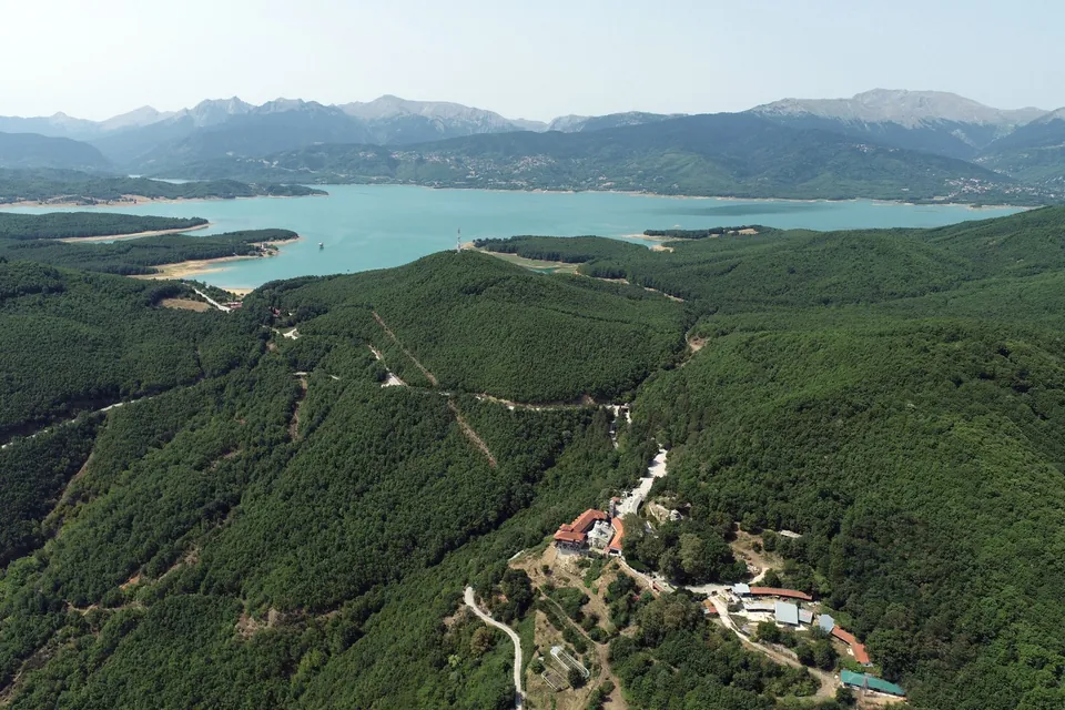
Holy Monastery of Koroni
Topographic and architectural survey of the monastery for its restoration study, with a point cloud accurate to a few millimetres.
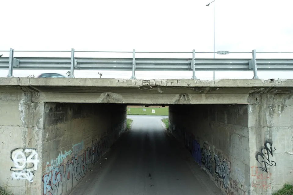
Underpass bridge in Thermi
Scan of a bridge on the Thessaloniki–Moudania national road, near Thermi, for as-built drawings and a topographic survey of the site.
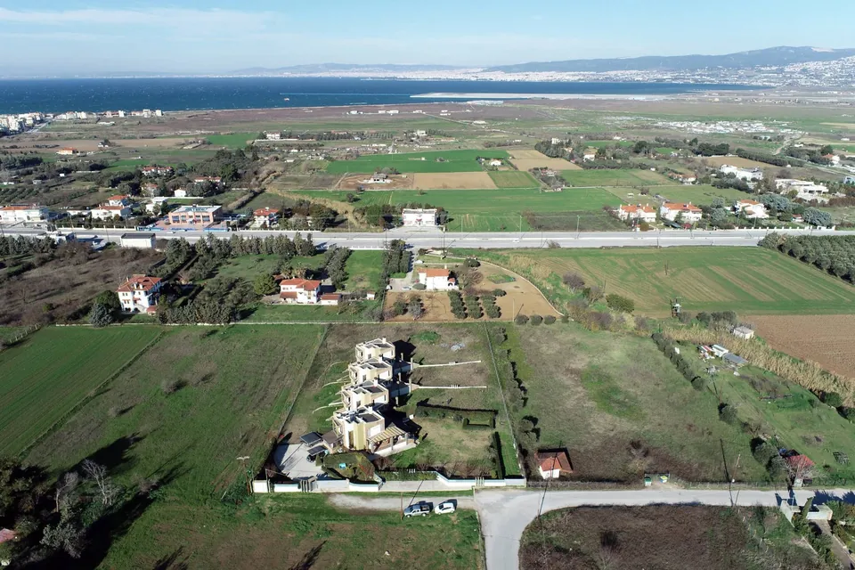
Maisonette complex
Complete survey of buildings and plot using every method, for design and presentation.
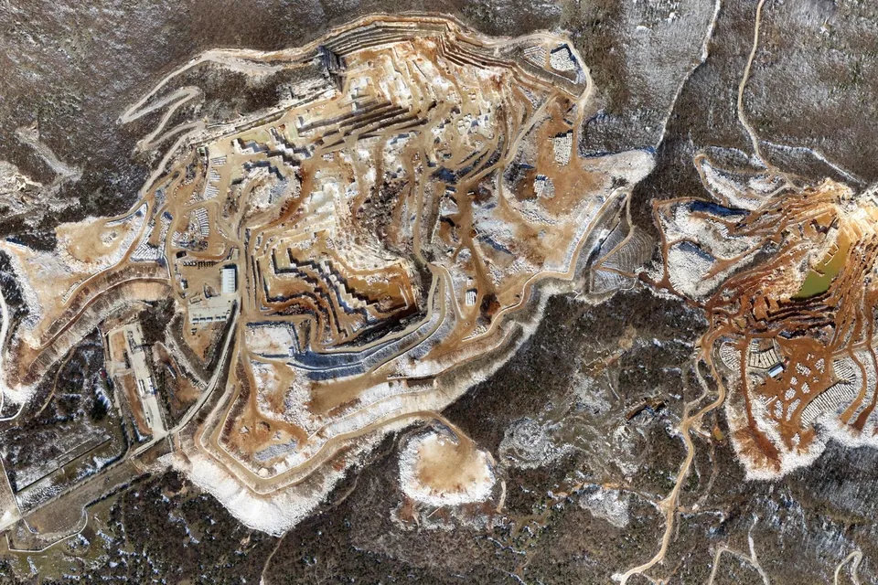
Quarry surveys
Aerial photogrammetric survey of quarry sites: orthophoto map, terrain model and contour lines.
Do you have a similar project?
We reply the same or the next working day with a proposed method and cost.