Bridge of Arta
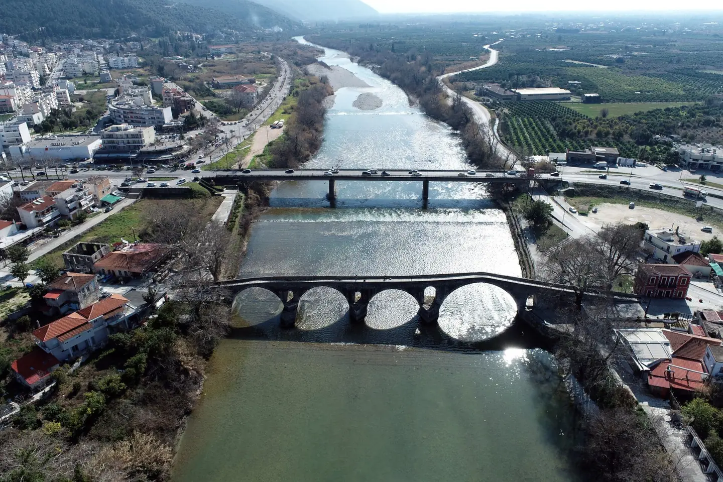
3D survey of the historic bridge for its structural adequacy assessment.

The video loads from YouTube only when you press play. Open on YouTube
The brief
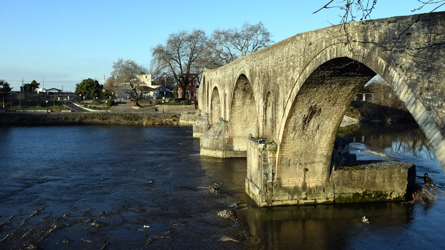
The structural adequacy assessment of the bridge needed the exact geometry of the arches, the piers and the deck, without any intervention on the monument.
Our approach
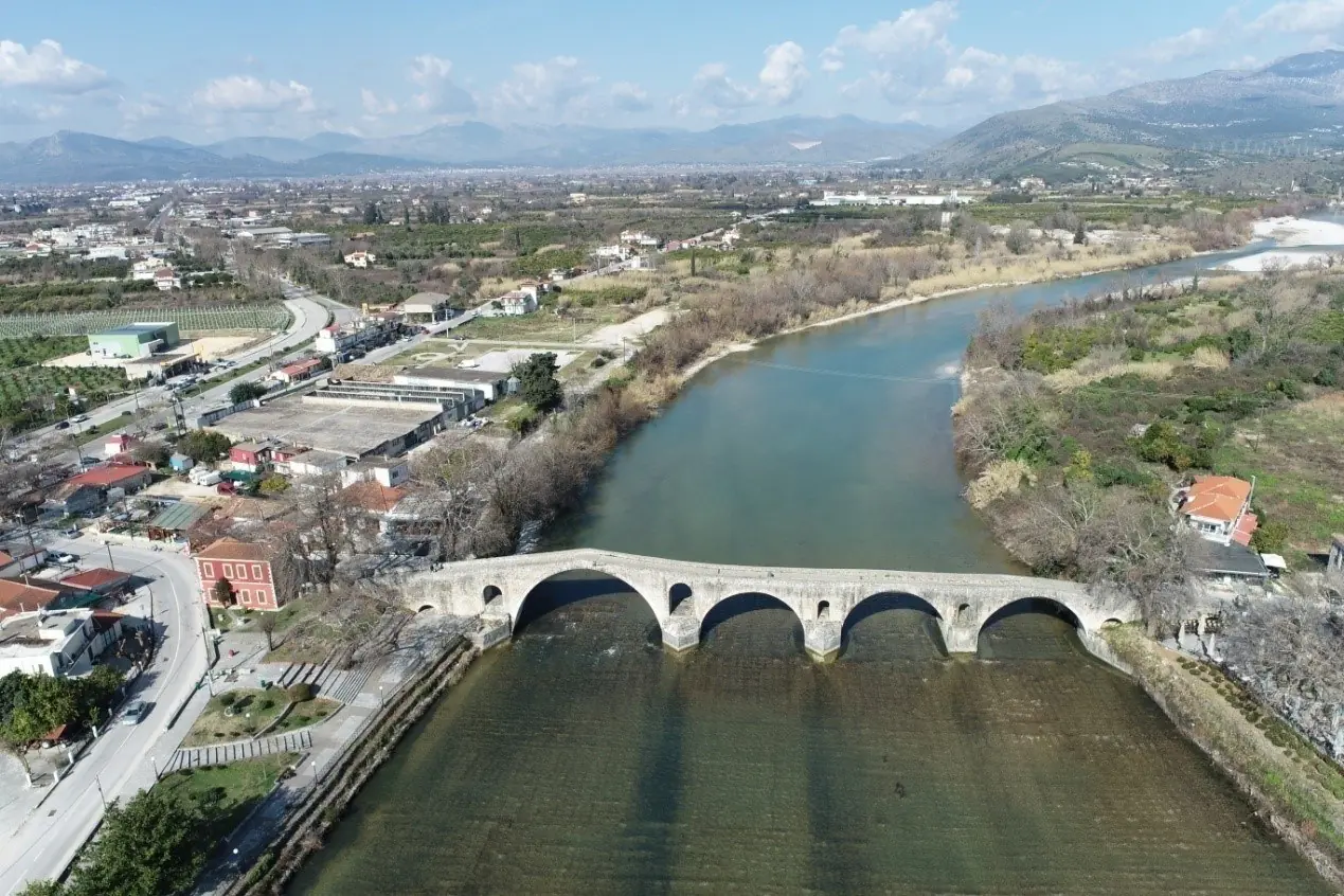
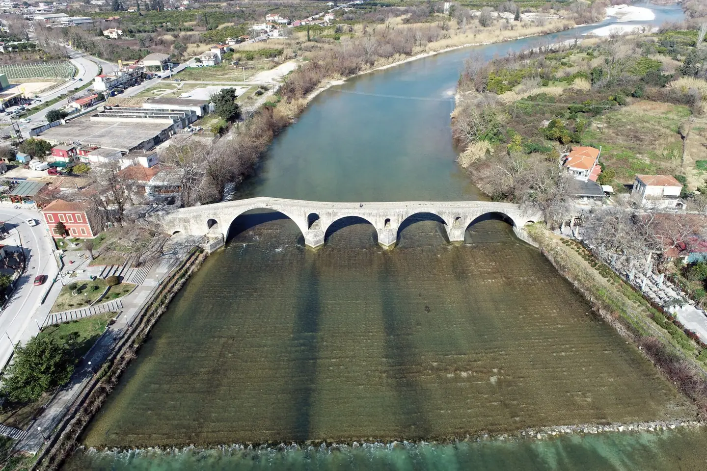
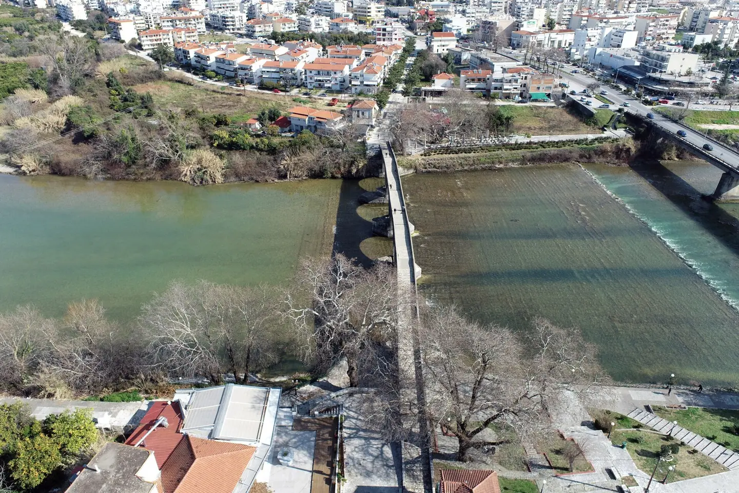
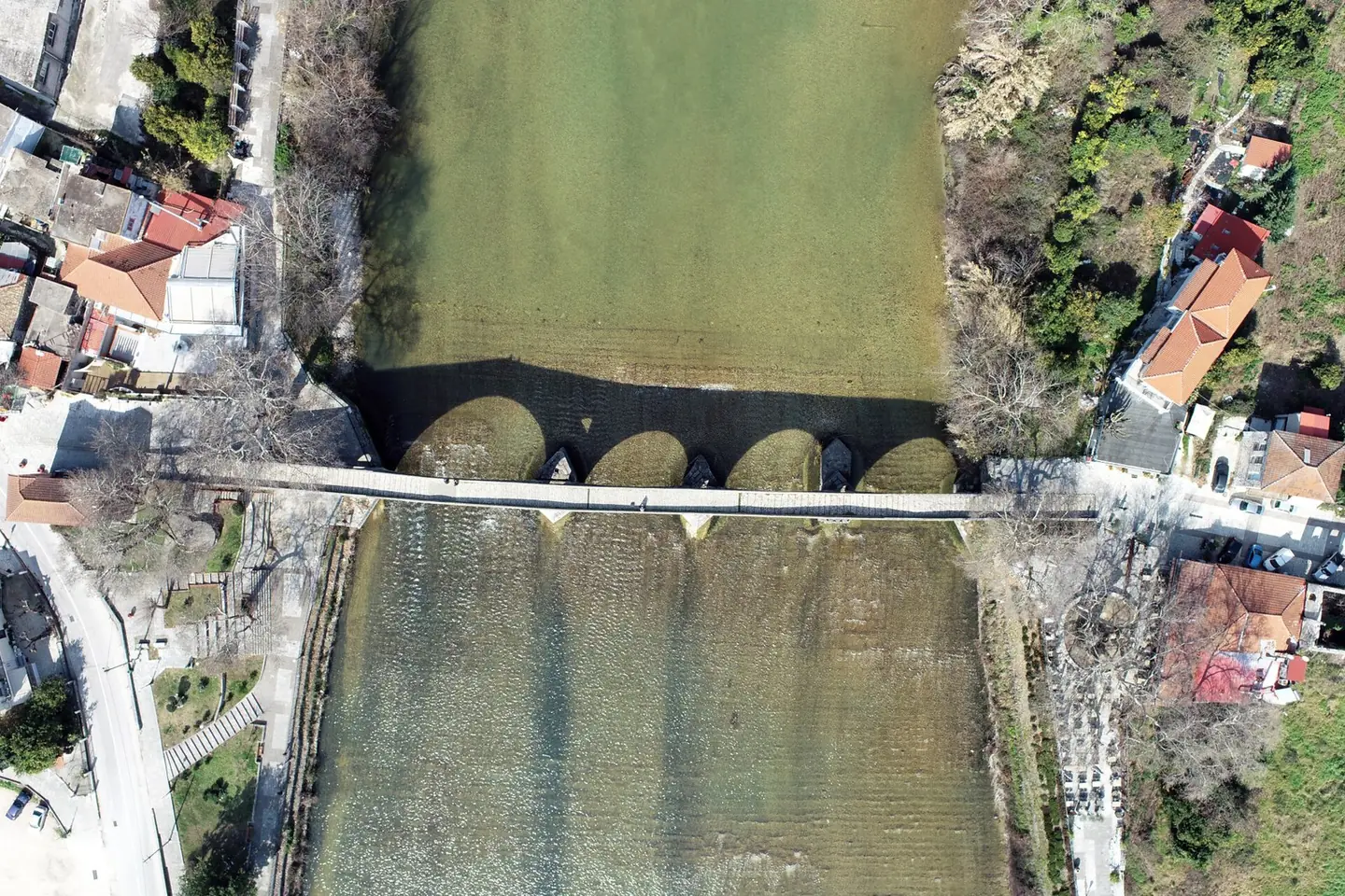
We scanned the bridge with the FARO from stations on both banks and on the deck, and covered by drone the parts that cannot be seen from the ground, such as the extrados of the arches.
The result
Textured point cloud with an accuracy of a few millimetres, a topographic survey plan, and a plan, elevations and sections of the bridge, which formed the geometric basis of the structural model. Using ground, aerial and 360° images we also created a virtual tour, so that anyone can explore the bridge remotely.
Next project
Historic olive mill on Paxos