Aerial LiDAR and mobile SLAM scanning
Terrain models even beneath vegetation, and scanning of buildings or networks on foot.
LiDAR measures distances directly with laser pulses, so it “sees” the ground between the leaves, where photogrammetry only sees the treetops. From the air we use the DJI Zenmuse L2 sensor on the Matrice 400. On the ground and indoors, the portable NavVis MLX scanner captures buildings, basements and utility networks at walking pace.
When you need it
- Streams, slopes and forest land with dense vegetation
- Linear projects: roads, pipelines, power transmission lines
- Capturing entire buildings and facilities in a few hours
- Underground spaces, tunnels and places without GNSS signal
What you receive
- Classified point cloud (LAS/LAZ)
- Terrain model beneath the vegetation
- Floor plans, sections and elevations in DWG
- 360° walkthrough inside the point cloud, viewable in the browser without special software
Frequently asked questions
LiDAR or photogrammetry?
On bare ground, photogrammetry gives excellent results and an orthophoto. Where there is vegetation or there are thin structures, LiDAR is the right choice. We often combine the two. See our detailed guide.
Related projects
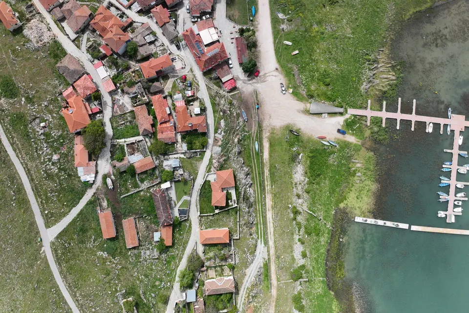
New jetty at Psarades, Lake Prespa
Survey on land, from the air and under water, for the design and placement of a new jetty on Lake Great Prespa.
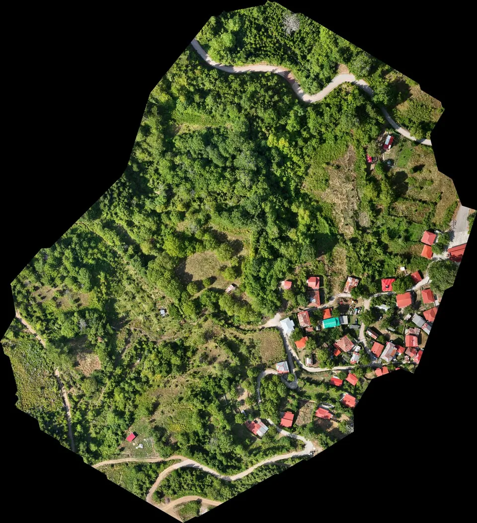
Stream demarcation in a mountain village in Agrafa
Digital terrain model from drone LiDAR for the hydraulic study of a stream demarcation, as part of a Local Urban Plan.
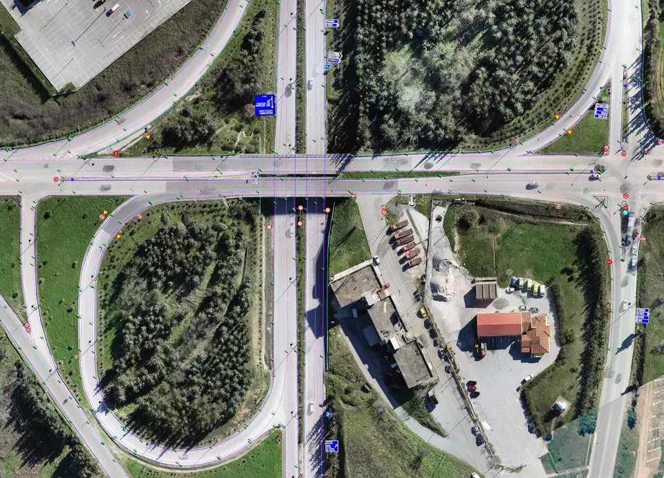
Road network of Central Macedonia
Survey of about 500 kilometres of the main road network of Central Macedonia, including the Thessaloniki – Moudania national road.