Road network of Central Macedonia
Survey of about 500 kilometres of the main road network of Central Macedonia, including the Thessaloniki – Moudania national road.

The video loads from YouTube only when you press play. Open on YouTube
The brief
To upgrade road safety, the road markings and traffic signs had to be recorded along hundreds of kilometres of high-traffic roads, quickly and without putting anyone at risk on the carriageway.
Our approach
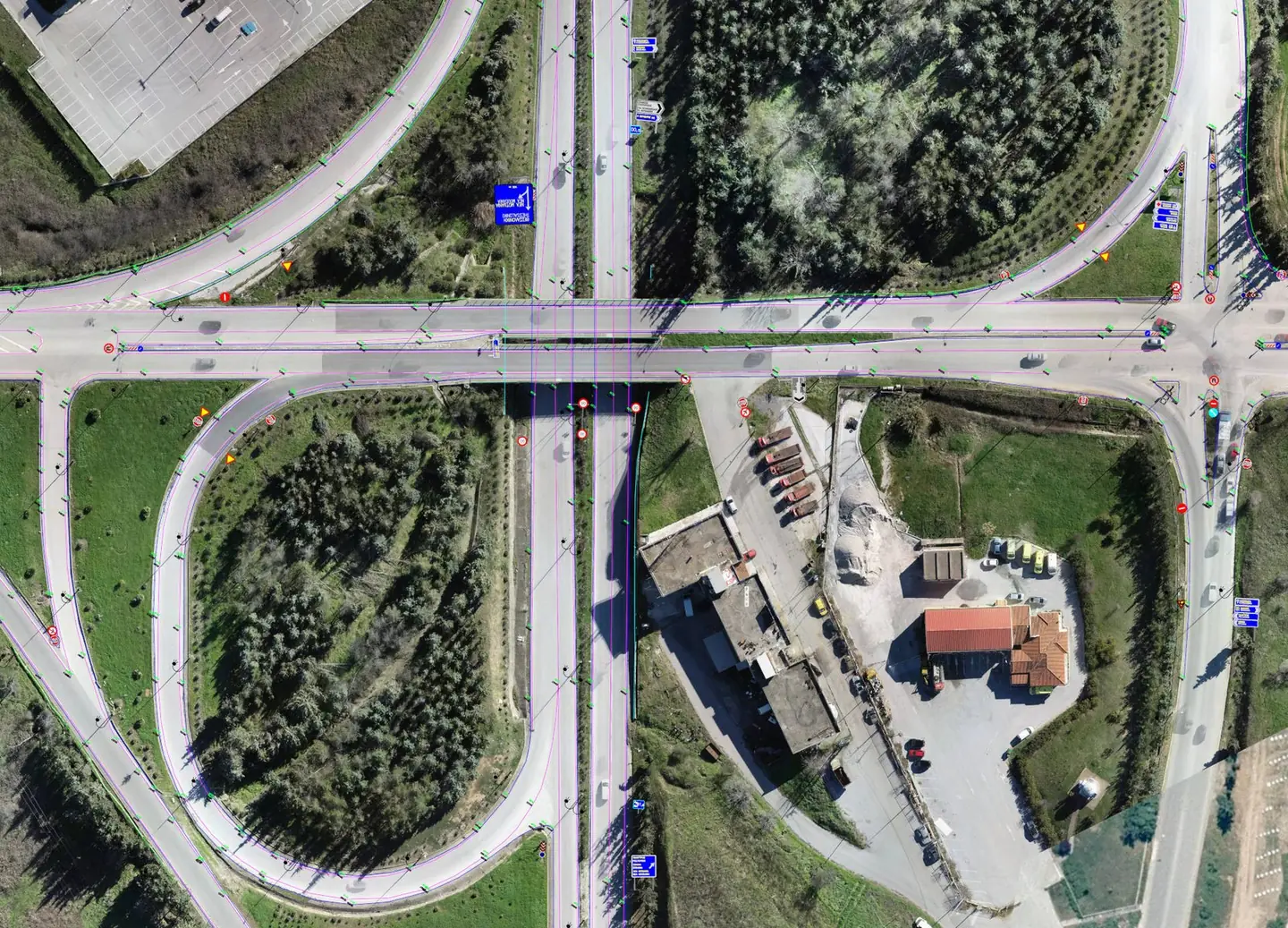
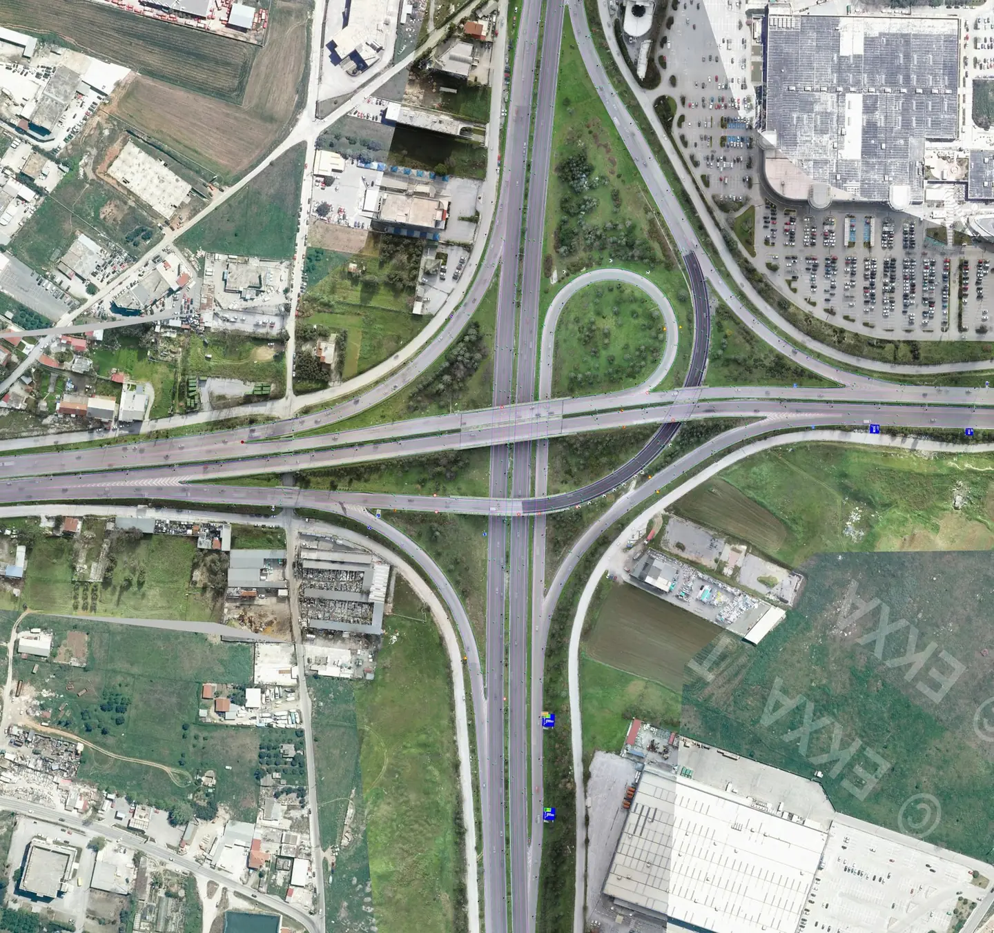
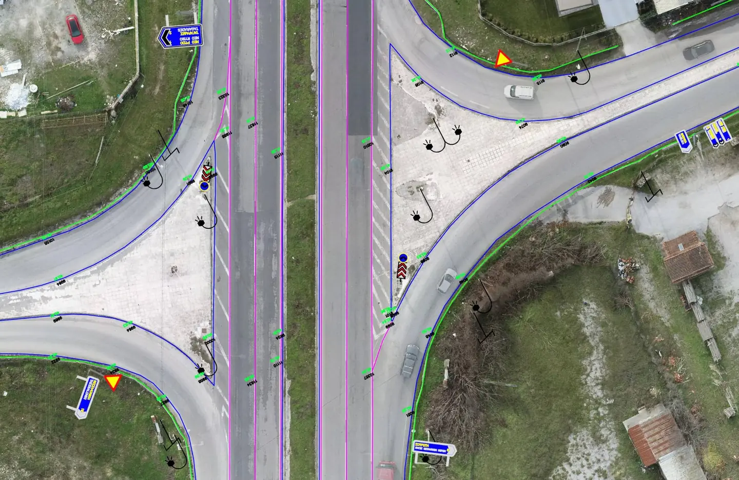
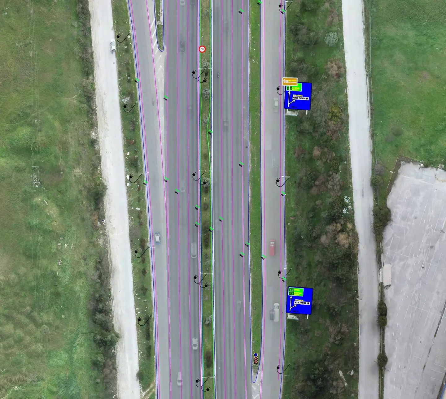
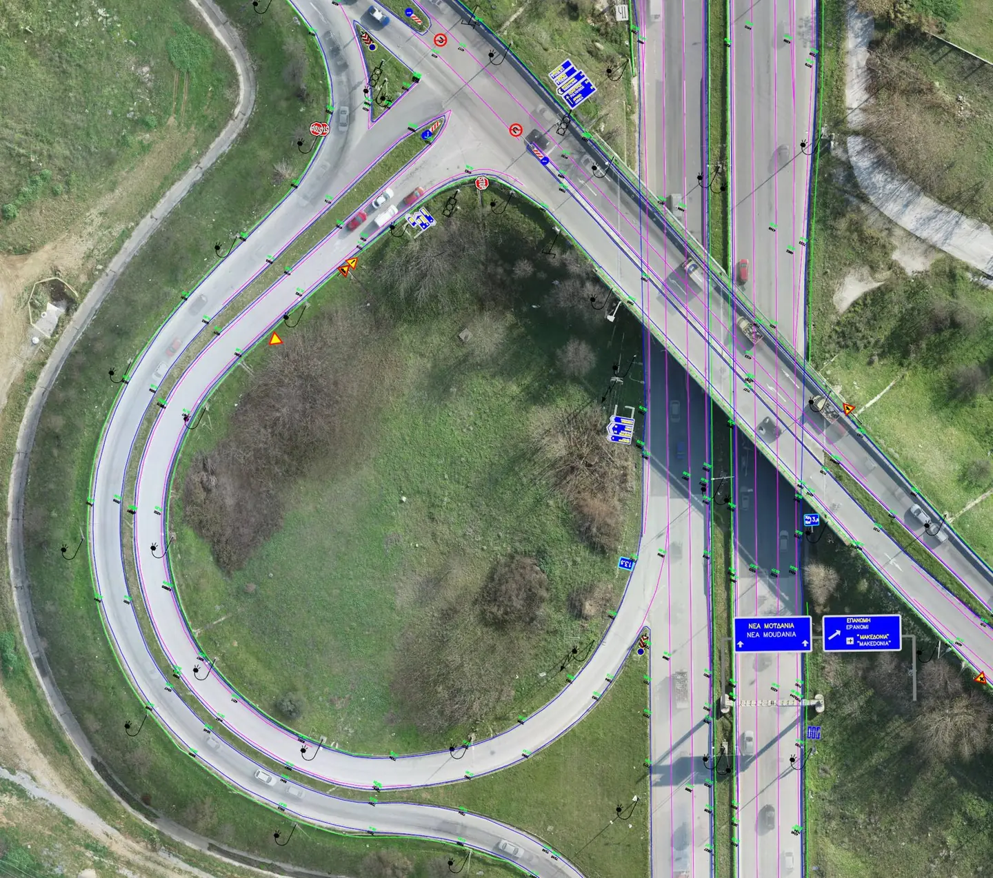
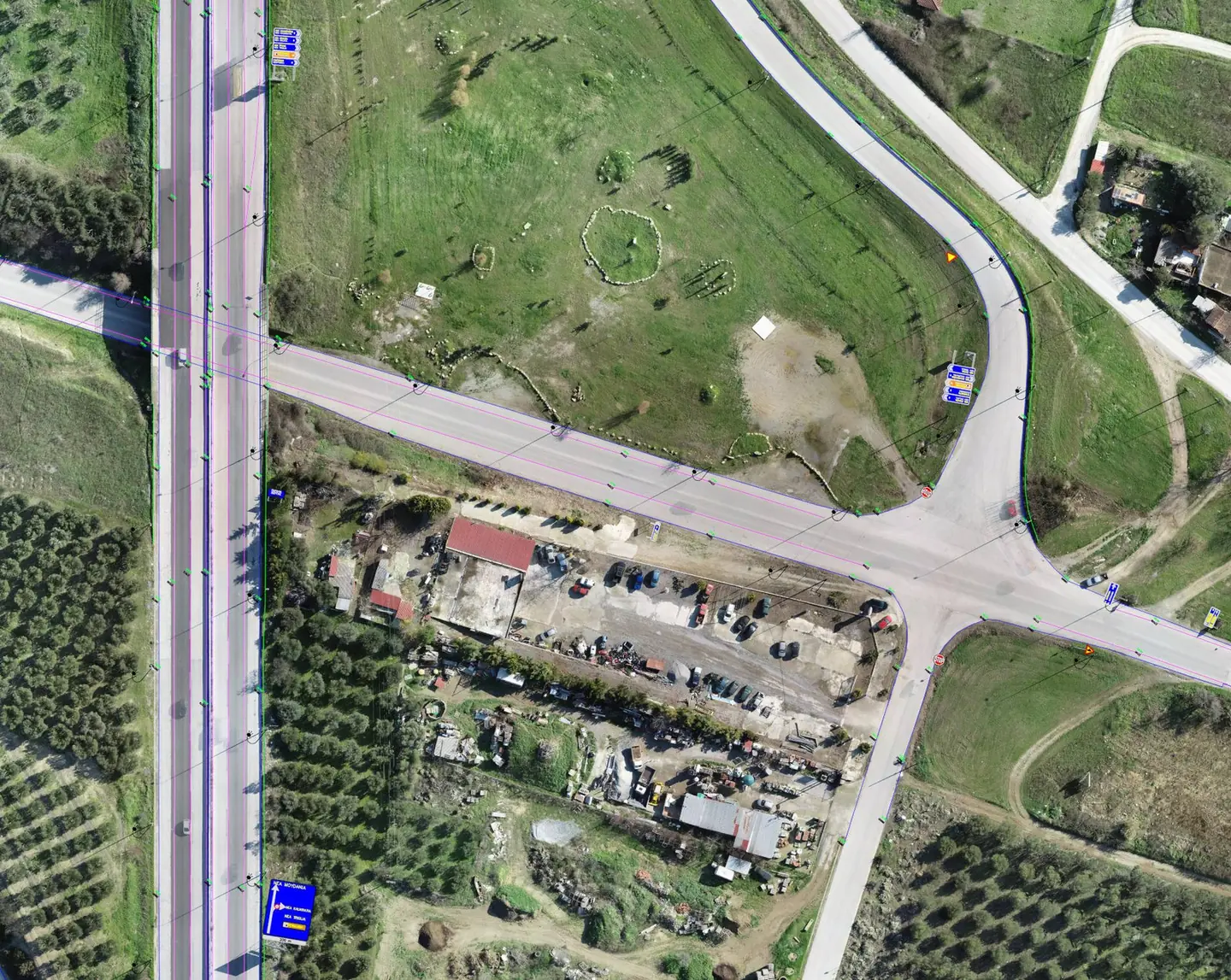
The survey was carried out mainly from the air. On the Thessaloniki – Moudania national road, for example, we combined 360° video from a moving vehicle, drone imagery at the junctions and GNSS to georeference every element.
The result
Consistent, georeferenced data for about 500 kilometres of roads. Every marking and sign was recorded with a photograph and a position, to an accuracy of a few centimetres.
Next project
Skyros Castle