Terrestrial laser scanning and monument surveys
Elevations, sections and floor plans with millimetre accuracy for monuments, buildings and bridges.
The FARO S70 terrestrial scanner captures almost one million points per second, with a ranging error of ±1 mm. Combined with drone photogrammetry for roofs and hard-to-reach areas, it gives a complete 3D record of the object, from which we produce drawings at any scale. We have surveyed castles, monasteries, stone bridges and Byzantine monuments.
When you need it
- Restoration and structural consolidation studies for monuments
- Structural assessment of bridges and buildings
- Documentation before interventions or for archival purposes
- Survey of the existing condition for renovation
What you receive
- Coloured point cloud (E57/RCP)
- Elevations, sections and floor plans at 1:50 and 1:20
- Orthophotos of elevations
- Textured 3D model
- 360° walkthrough and a model for viewing in the browser, plus Gaussian Splatting where suitable
Frequently asked questions
How detailed can the drawings be?
Drawings at 1:50 and 1:20 scale are produced from the point cloud. The scan density is set from the start, according to the level of detail the study needs.
Related projects
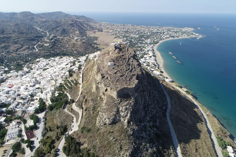
Skyros Castle
Complete 3D survey of the castle with more than 13,000 images and an accuracy better than 5 millimetres.
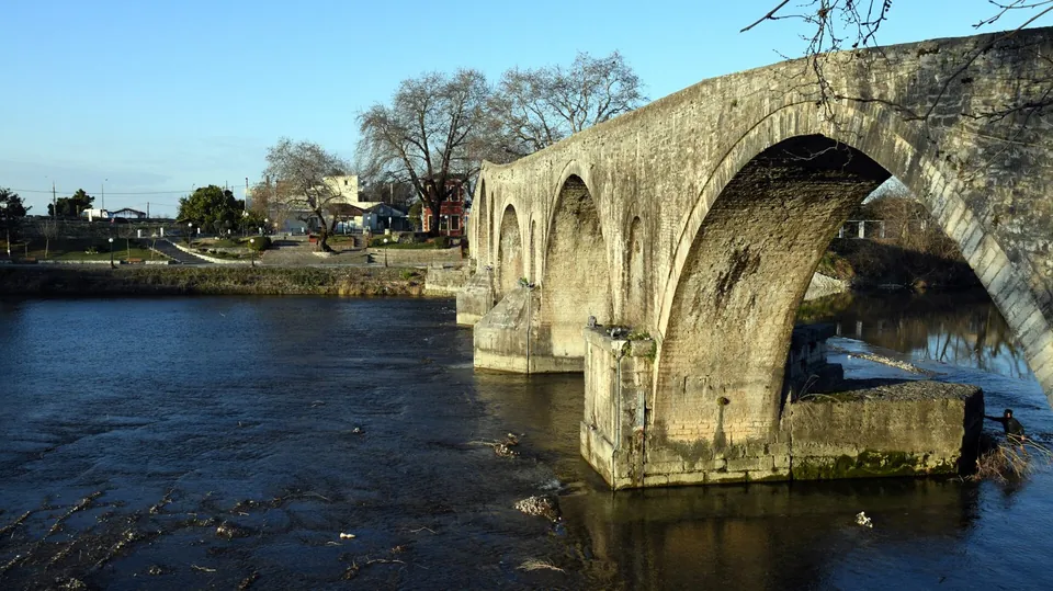
Bridge of Arta
3D survey of the historic bridge for its structural adequacy assessment.
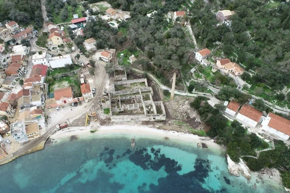
Historic olive mill on Paxos
3D survey of a historic olive mill complex, for its conversion into a hotel.