Tools
Tools we built for our own work and share freely. Their interface is in Greek, as they work with Greek public data.
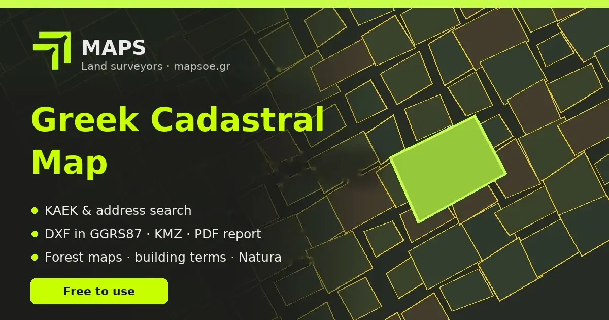
Greek cadastral map
Search for a land parcel in Greece by KAEK (the 12-digit cadastral code), by address or by clicking on the map. It shows settlement limits, town plans, forest maps, the foreshore, protected zones and building terms where available.
- Export the boundary to DXF (GGRS87/ΕΓΣΑ87) and KMZ
- Property report for printing or PDF
- Works on computer and mobile, without sign-up
The map interface is in Greek. If you need help reading it for a property, contact us.
Open the mapDJI MRK to GGRS87
For anyone flying DJI drones with RTK or PPK in Greece. It reads the .MRK files of a flight and returns the image positions in GGRS87 (ΕΓΣΑ87), using the HEPOS transformation grids and the GEOID_GR geoid, with the correct photo names from every subfolder.
- Files ready to import into Pix4D, Metashape and 3DSurvey
- A map showing the solution quality of each image (FIX, FLOAT, jumps)
- HEPOS times and data check for PPK, point conversions
In Chrome the results are written straight into the flight folder; in Firefox they download as a ZIP. Your files are never uploaded. The interface is in Greek.
Open the toolnetwork
processing
GNSS, traverse, network and levelling processing
Do you have measurements and need them processed or independently checked? We process static GNSS observations for bases and control points, compute traverses, and adjust geodetic and levelling networks by least squares, and we check RTK measurements, using software we develop in house.
- Static GNSS baselines with HEPOS reference stations
- Network adjustment with error ellipses and blunder detection
- Misclosure checks against the limits of P.D. 696/74 (Greek surveying specifications)
- Results in GGRS87 or a local system, with a processing report
- Detection of problematic set-ups and RTK baselines
Send us your instrument files and a short description, and we will tell you what is needed.
Contact usMAPS Atlas
From measurement to the final drawing in one environment: point clouds, classification, terrain models, sections, Cadastre data and delivery as DXF in GGRS87.
- One-click workflows: noise → ground → DTM → contours
- Millions of points in 3D, many clouds together
- Buildings, roads, streams, quarries, monuments, bathymetry
Suggestions for the tools
We built these tools for our own work. If something does not work, a feature is missing or you would like a new tool, write to us.
Thank you, your suggestion has been sent.
Your suggestion was not sent. Please write something in the suggestion field and try again.