Bathymetric surveys
Depth maps for ports, lakes, reservoirs and riverbeds.
We measure the bed with the CHCNAV Apache 3 Pro unmanned surface vessel, which carries a single-beam echo sounder and GNSS RTK. For longer distances we use our own inflatable boat with the portable OHMEX SonarMite BTX echo sounder. The autonomous vessel follows pre-programmed lines and enters shallow water that a conventional boat cannot reach, and the data connect directly with the topography of the shore.
When you need it
- Dredging and port works design
- Volume calculation of reservoirs and small irrigation reservoirs
- Hydraulic studies and stream demarcation
- Siltation monitoring
What you receive
- Bathymetric chart with depth contours
- Seamless model of land and bed
- Cross-sections and volume calculations
- XYZ, DWG and GeoTIFF files
Frequently asked questions
How deep can you measure?
The echo sounder covers everything from very shallow water to the depths of most ports and reservoirs. Tell us the area and we will suggest the method.
Related projects
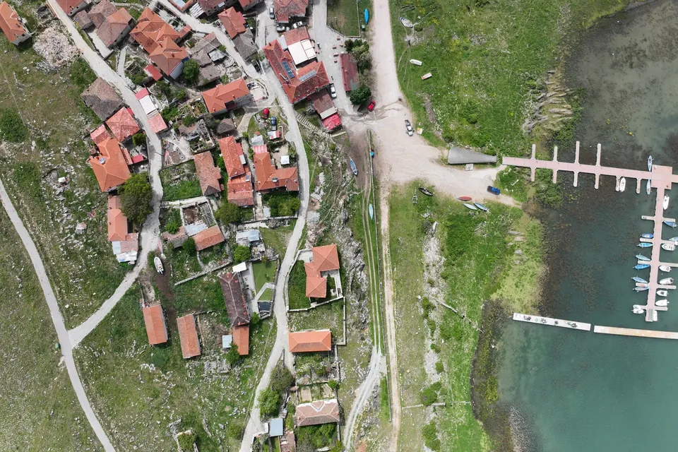
New jetty at Psarades, Lake Prespa
Survey on land, from the air and under water, for the design and placement of a new jetty on Lake Great Prespa.
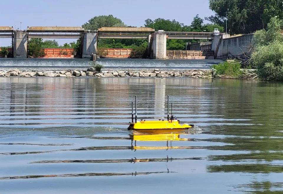
Hydrographic survey of the Axios River
Riverbed cross-sections along a long stretch of the Axios River with the Apache 3 Pro autonomous vessel, for a study of the channel morphology and sediment transport.
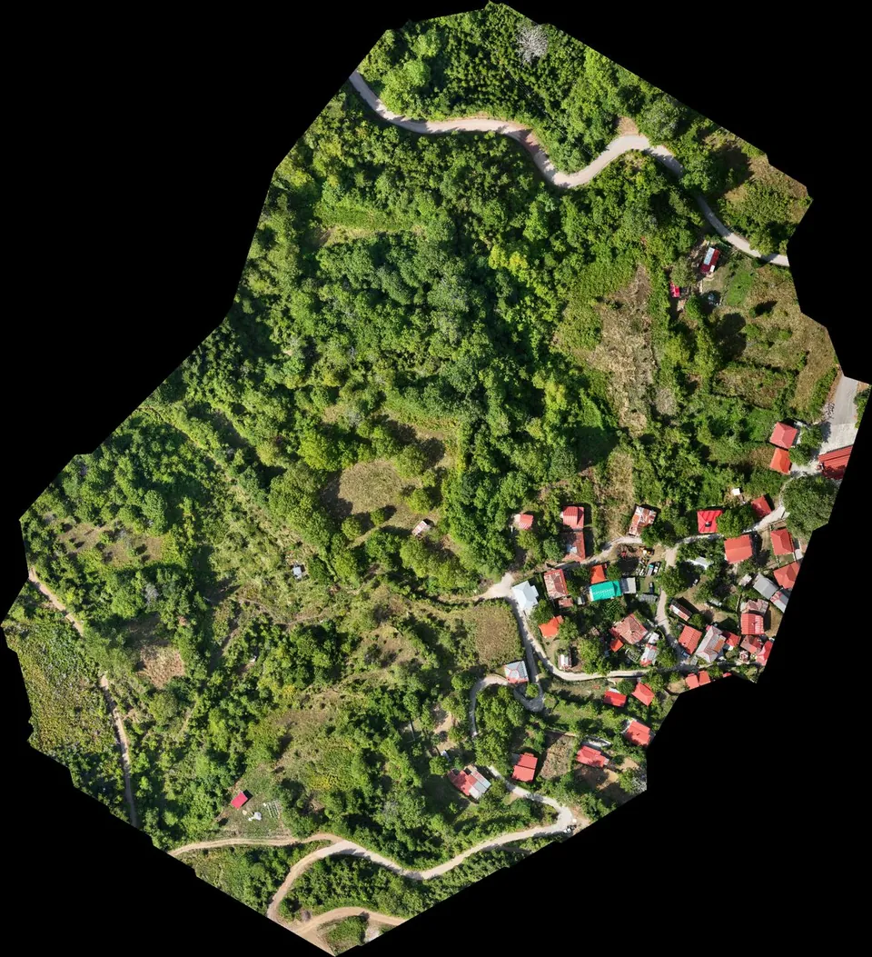
Stream demarcation in a mountain village in Agrafa
Digital terrain model from drone LiDAR for the hydraulic study of a stream demarcation, as part of a Local Urban Plan.