Topographic survey plans and setting out
Tied to GGRS87, the Greek national reference system, for contracts, permits, the Cadastre and the courts.
A topographic survey plan is the basis of every legal act concerning a property. We prepare it after measuring on site with GNSS receivers and total stations. It is tied to the national reference system GGRS87 (ΕΓΣΑ87) and checked against the Cadastre records, the title deeds and the approved town plans.
When you need it
- Property transfer, parental gift or donation
- Building permit or approval for small-scale works
- Correction of area or boundaries in the Cadastre
- Subdivision or merger of plots, or setting up horizontal property (separate ownership of units)
- Boundary disputes with neighbours, expert reports
- Setting out boundaries on the ground by staking out
- Foreshore and beach zone demarcation
- Town-plan implementation acts, land consolidation, photovoltaic parks
What you receive
- Signed topographic survey plan in PDF and DWG/DXF
- Corner coordinates in GGRS87
- Comparison with the title deeds, the Cadastre and the town plan
- Staking out of boundaries on request
Frequently asked questions
How long does a survey plan take?
For a typical building plot or agricultural parcel, the measurement is done in one visit and the plan is usually delivered within a few working days. The timing depends mainly on the documents that need to be collected.
What do you need from me?
Your title deeds, the KAEK (the 12-digit cadastral code) if the property has been registered in the Cadastre, and any earlier survey plan. If you do not have them all, we tell you where to get them.
Is an old survey plan still valid?
It depends on the use. Most legal acts require a recent plan tied to GGRS87. Send us the old one and we will tell you whether it can be updated.
Related projects
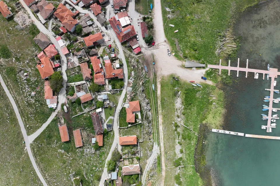
New jetty at Psarades, Lake Prespa
Survey on land, from the air and under water, for the design and placement of a new jetty on Lake Great Prespa.
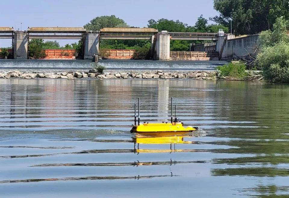
Hydrographic survey of the Axios River
Riverbed cross-sections along a long stretch of the Axios River with the Apache 3 Pro autonomous vessel, for a study of the channel morphology and sediment transport.
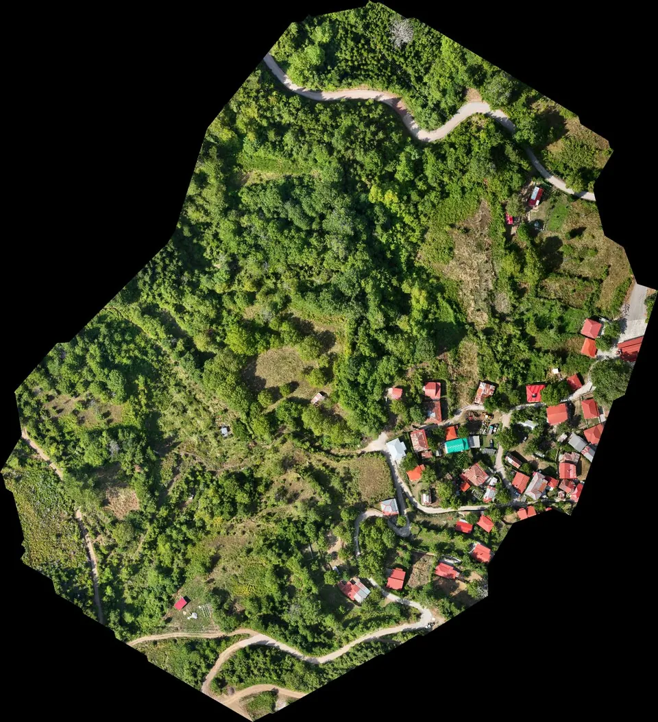
Stream demarcation in a mountain village in Agrafa
Digital terrain model from drone LiDAR for the hydraulic study of a stream demarcation, as part of a Local Urban Plan.