Drone photogrammetry
Orthophoto maps, terrain models and 3D models, with centimetre accuracy over large areas and millimetre accuracy in close-range capture.
With drone photogrammetry we cover in a single day areas that would take weeks with conventional methods. Flights are planned for the accuracy the project requires. Images are georeferenced with RTK/PPK and ground control points, and the result is checked against independent checkpoints before delivery. Our pilots are licensed by the Hellenic Civil Aviation Authority (HCAA).
When you need it
- Topographic base mapping for road, hydraulic or urban regeneration design
- Volume calculations for excavation, fill and stockpiles
- Monthly monitoring of construction progress
- Settlements, coastlines and archaeological sites
What you receive
- Orthophoto map (orthomosaic) in GeoTIFF/ECW with an accuracy report
- Digital terrain model and digital surface model (DTM/DSM)
- Contour lines and drawings in DWG/DXF
- Point cloud and 3D model
Frequently asked questions
What accuracy can a drone achieve?
It depends on the flight height and the distance to the object. Over large areas, with RTK and ground control points, accuracy is usually 2 to 5 centimetres. In close-range capture of structures and monuments it reaches a few millimetres: at Skyros Castle the resolution was 2 mm and the accuracy better than 5 mm.
Do you need a permit to fly?
In many areas, yes. Near airports, over settlements and at archaeological sites, approval is needed from the HCAA and, where required, from the competent Ephorate of Antiquities. Our drones are registered and our pilots licensed under European regulations, and we obtain the approvals ourselves.
Related projects
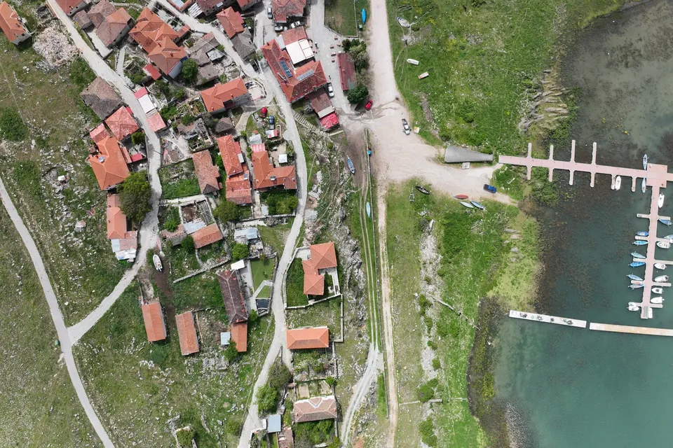
New jetty at Psarades, Lake Prespa
Survey on land, from the air and under water, for the design and placement of a new jetty on Lake Great Prespa.
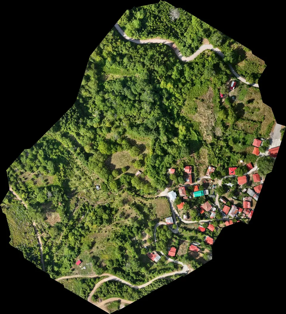
Stream demarcation in a mountain village in Agrafa
Digital terrain model from drone LiDAR for the hydraulic study of a stream demarcation, as part of a Local Urban Plan.
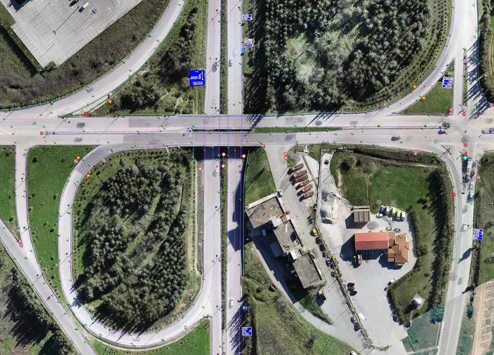
Road network of Central Macedonia
Survey of about 500 kilometres of the main road network of Central Macedonia, including the Thessaloniki – Moudania national road.