Geodetic control networks and construction site surveying
Control networks with least-squares adjustment, setting out, quantity measurements and construction site support.
Every major project relies on a sound reference network. We design and establish the network with permanent pillars and survey marks. We measure it with static GNSS observations, Leica total stations and precise levelling with the Leica DNA03, and adjust it by the least-squares method. On this network we support the construction site throughout construction: in factories and industrial plants, energy projects, buildings and road works.
When you need it
- Establishing triangulation, traverse and levelling networks
- Static GNSS observations connected to HEPOS (the Greek GNSS reference network)
- Network adjustment with error ellipses and reliability testing
- Densification and re-checking of the network during construction
- Setting out of axes, foundations, anchor bolts and steel structures
- Measurement of executed works for payment certificates, and earthworks calculations
- Monitoring of settlement and deformation of structures
- Setting out for road and port works
What you receive
- Technical network report with the adjustment results
- Point coordinates and descriptions (station description sheets)
- Setting-out and measurement records
- Cross-sections and volume calculations
- Monitoring reports with displacement charts
Frequently asked questions
Why does a construction site need a reference network?
All setting out and checks are based on it. A network of permanent points, measured and adjusted, ensures that every crew works in the same system and that the data agree from the first day to handover.
Is RTK enough for the network?
For simple tasks, yes. For the primary network of a large project, no. There we use static GNSS observations and measurements with a total station and a precise digital level, so that the accuracy is known and verified.
Related projects
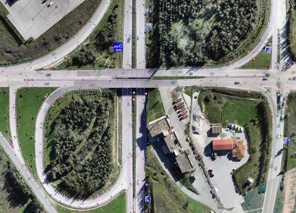
Road network of Central Macedonia
Survey of about 500 kilometres of the main road network of Central Macedonia, including the Thessaloniki – Moudania national road.
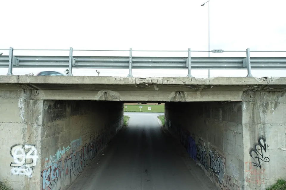
Underpass bridge in Thermi
Scan of a bridge on the Thessaloniki–Moudania national road, near Thermi, for as-built drawings and a topographic survey of the site.
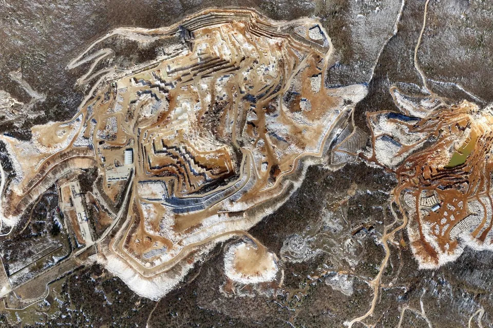
Quarry surveys
Aerial photogrammetric survey of quarry sites: orthophoto map, terrain model and contour lines.