Quarry surveys
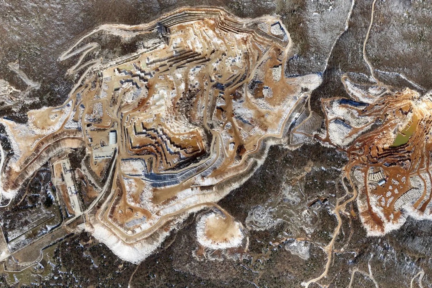
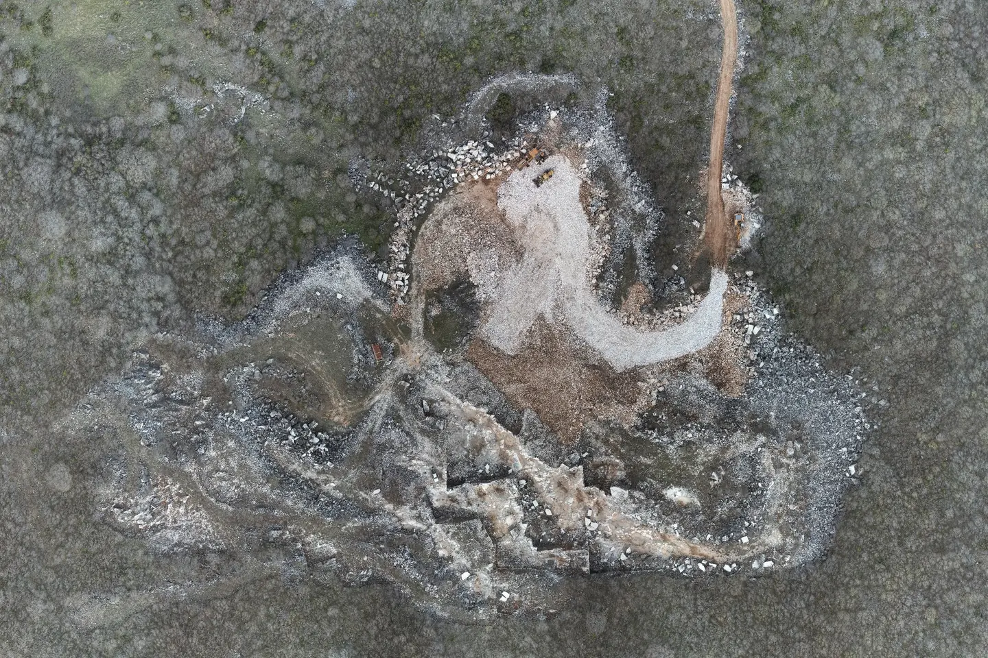
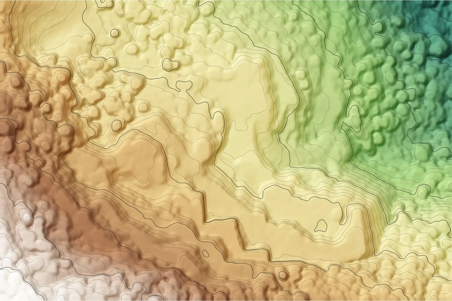
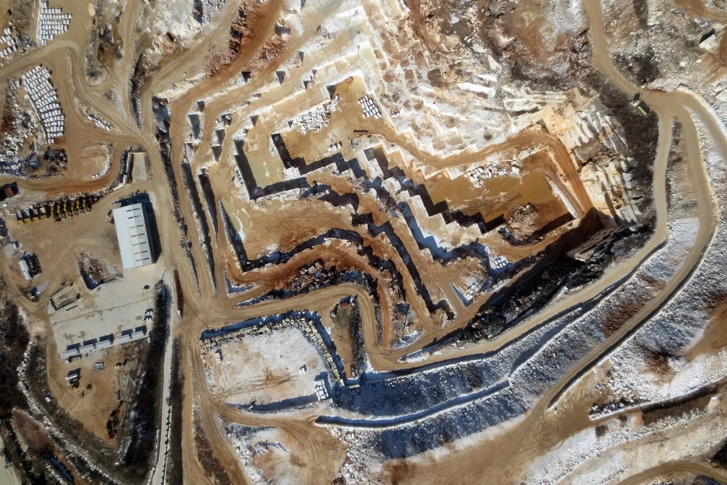
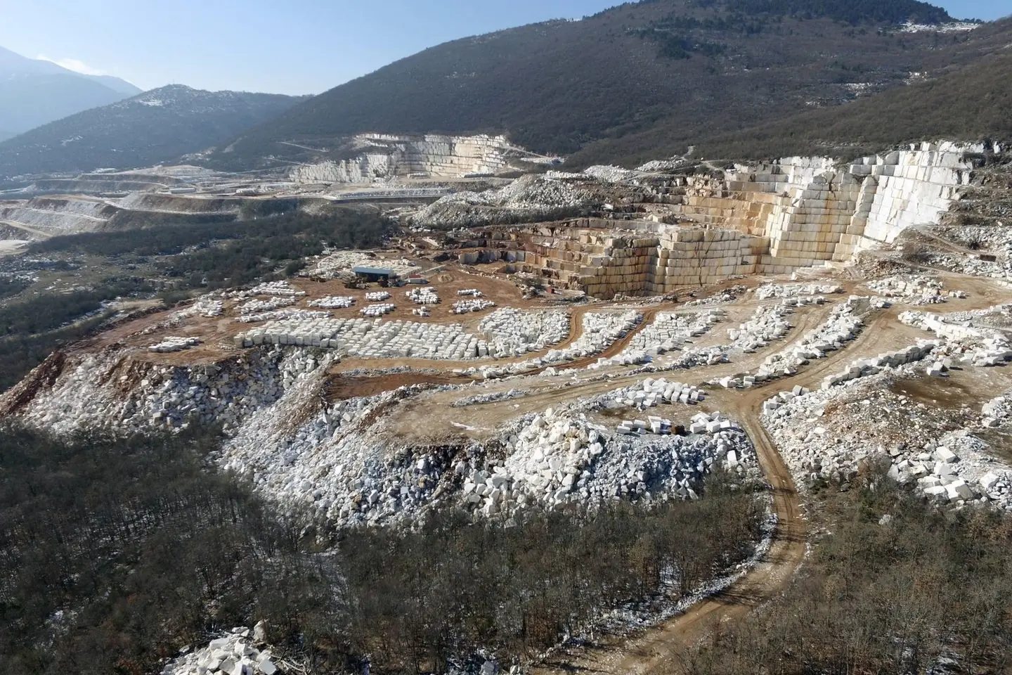
Aerial photogrammetric survey of quarry sites: orthophoto map, terrain model and contour lines.

The video loads from YouTube only when you press play. Open on YouTube
The brief
Steep extraction faces and constant changes in the ground, where conventional measurement is slow and dangerous.
Our approach
We flew a drone along pre-planned strips, with enough overlap to render the steep faces correctly. We placed the ground control points at safe, accessible locations around the site and measured them with GNSS, so no one in the team had to approach the faces. The same flight is repeated at each phase of extraction, for comparison and to calculate the volumes removed.
The result
Orthophoto map, terrain model and contour lines of the quarry, as a basis for volume calculations and extraction planning.
Next project
New jetty at Psarades, Lake Prespa