Underpass bridge in Thermi
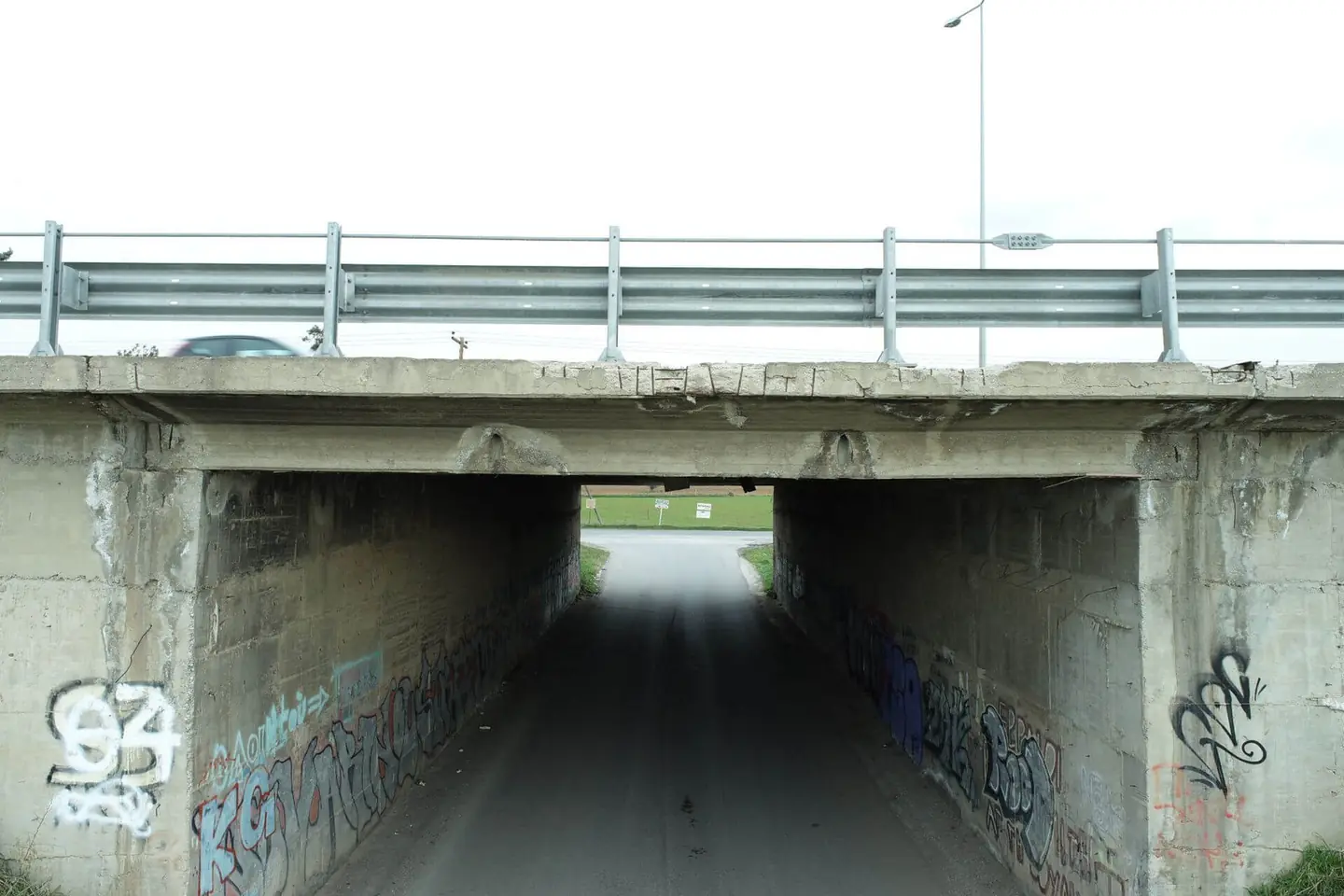
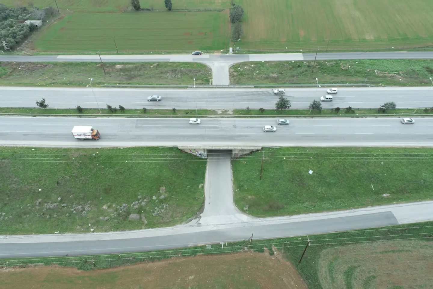
Scan of a bridge on the Thessaloniki–Moudania national road, near Thermi, for as-built drawings and a topographic survey of the site.
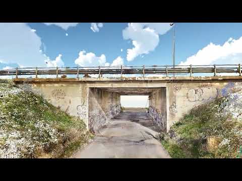
The video loads from YouTube only when you press play. Open on YouTube
The brief
The bridge was surveyed as part of the road safety study of the Thessaloniki–Moudania national road. It was a structure in service, and the old drawings did not match its actual condition.
Our approach
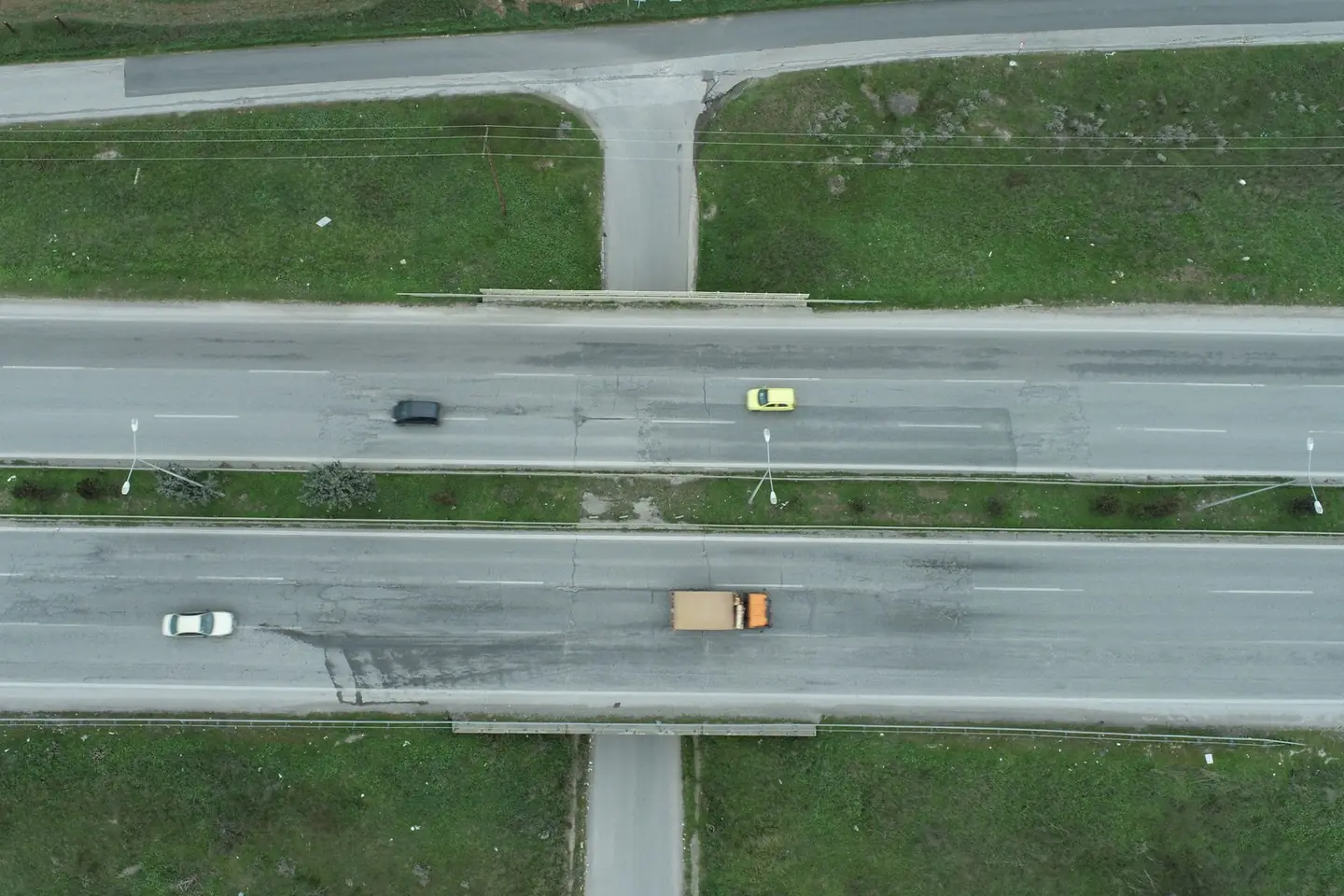
We scanned the whole bridge with the FARO, covered by drone whatever cannot be seen from the ground, and tied the data to a network from GNSS and a total station.
The result
Point cloud with true texture and an accuracy of a few millimetres, a plan, elevations and sections at 1:50, a topographic survey plan at 1:200, and a virtual tour from ground, aerial and 360° images.
Next project
Maisonette complex