Maisonette complex
Complete survey of buildings and plot using every method, for design and presentation.

The video loads from YouTube only when you press play. Open on YouTube
The brief
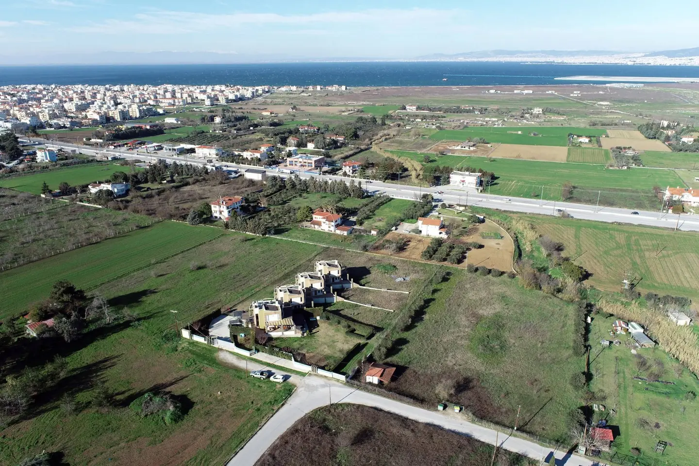
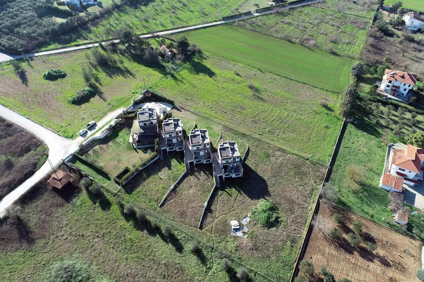
A complex that needed a topographic survey, building drawings and presentation material for the client, all at the same time.
Our approach
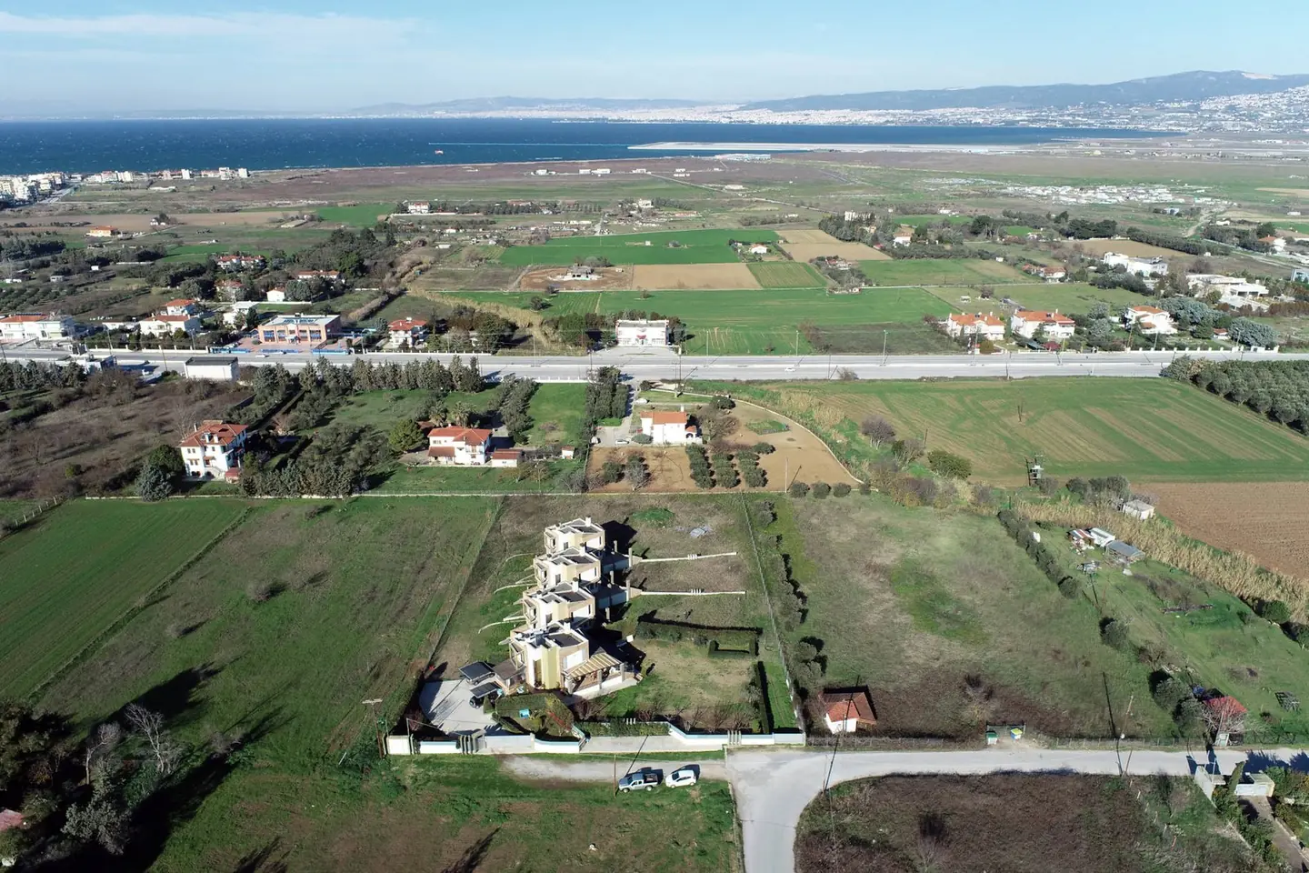
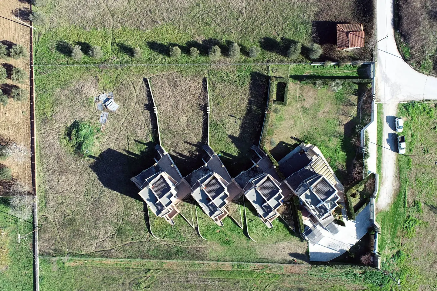
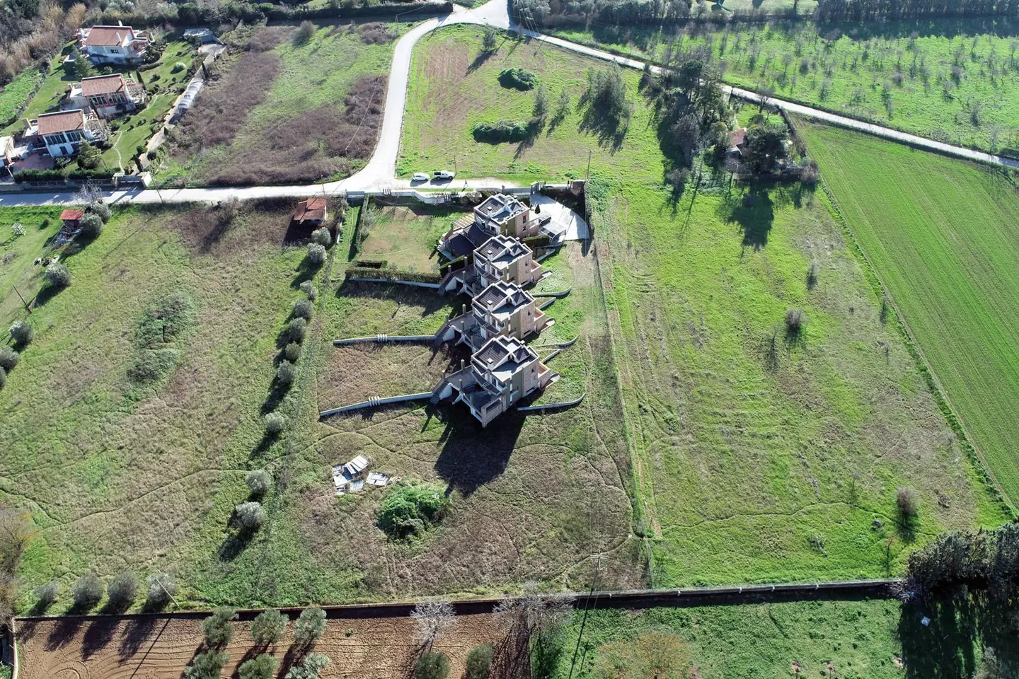
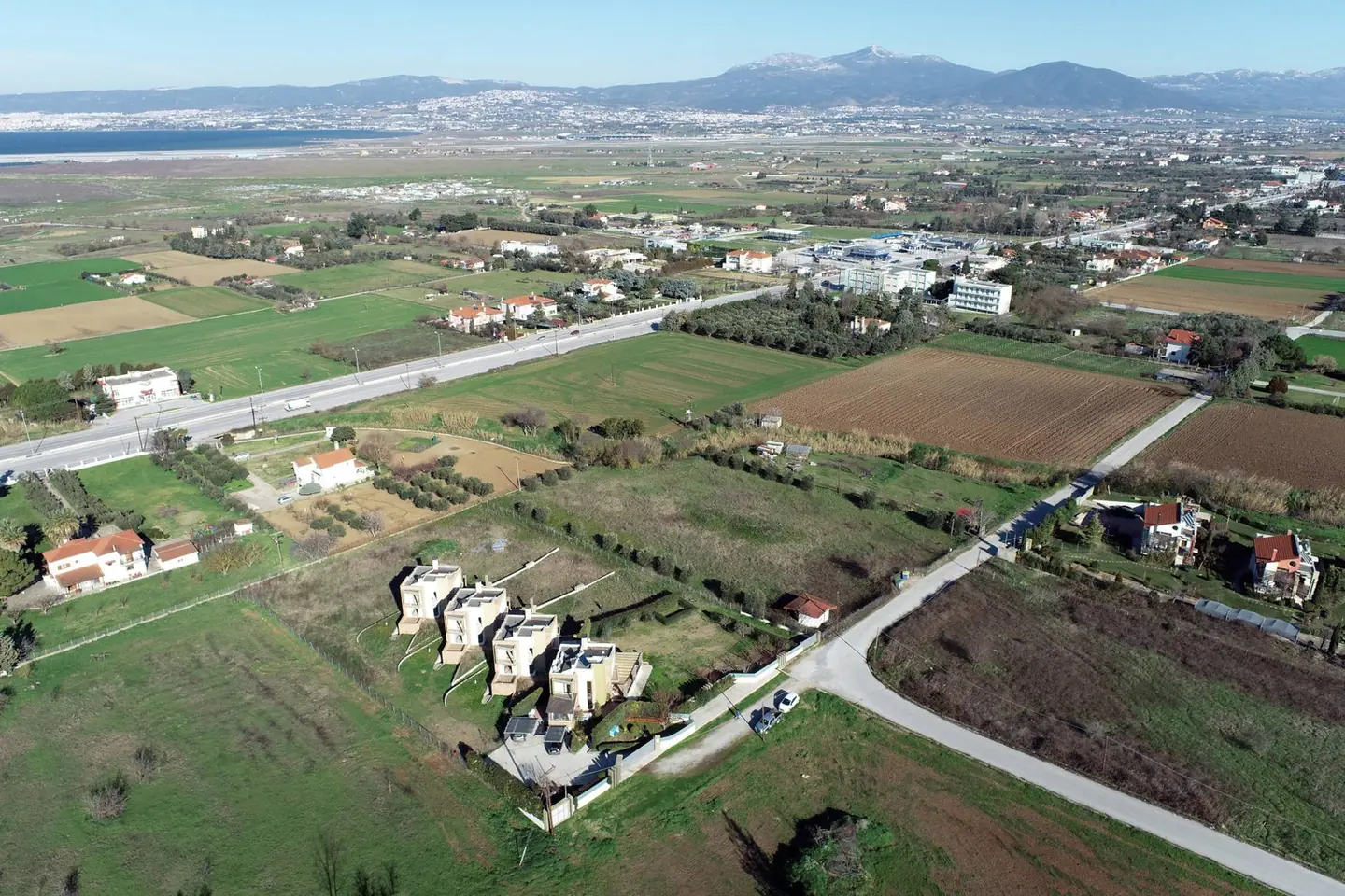
We combined a drone for the roofs and surroundings, the FARO for the facades and interiors, and GNSS with a total station for the topographic survey.
The result
From a single dataset we delivered a topographic survey plan of the plot, plans, elevations and sections of the buildings, a point cloud and a 360° virtual tour to present the project.
Next project
Quarry surveys