Kriaritsi, Halkidiki
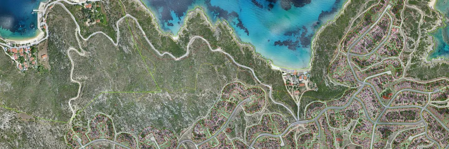
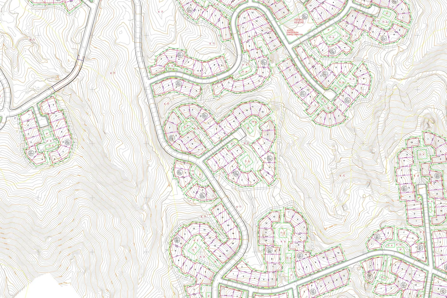
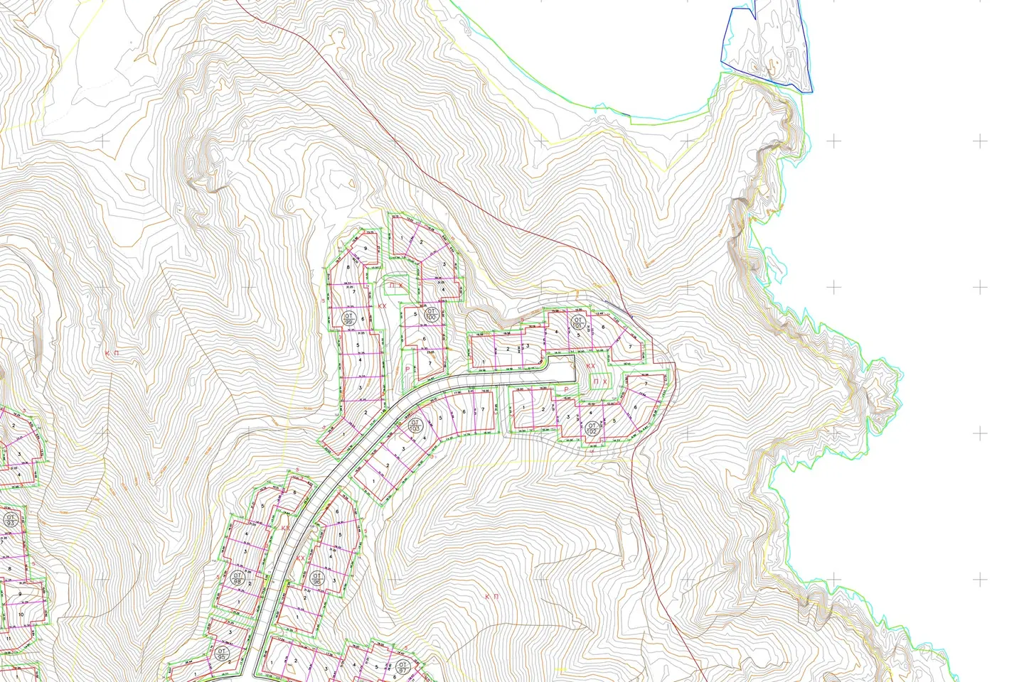
Topographic base map of 13 square kilometres at 1:200 scale, from fixed-wing flights.
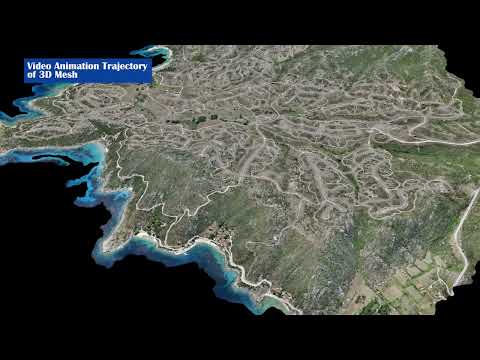
The video loads from YouTube only when you press play. Open on YouTube
The brief
A large area with varied terrain, for which the study required a detailed base map at 1:200 scale.
Our approach
Flights with a fixed-wing drone and a dense network of GNSS ground control points. Accuracy was checked against independent points that were not used in the processing.
The result
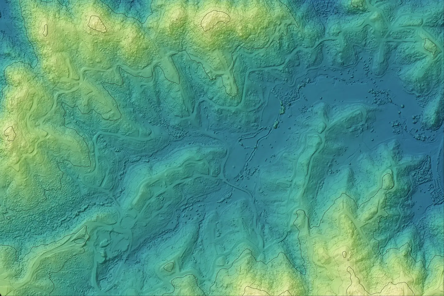
Orthophoto map, digital terrain model and a 1:200 topographic base map for 13 km².
Next project
Holy Monastery of Koroni