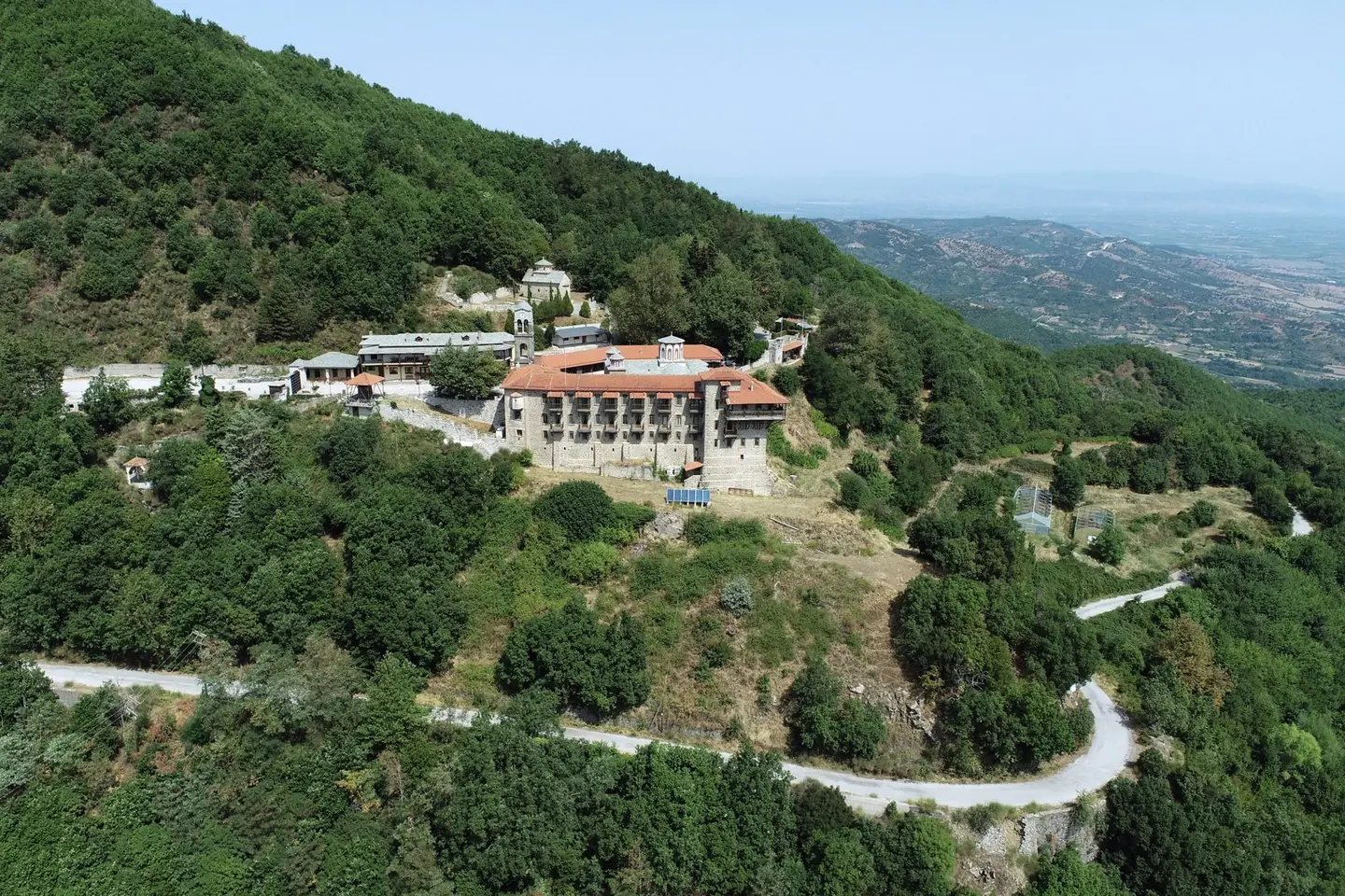
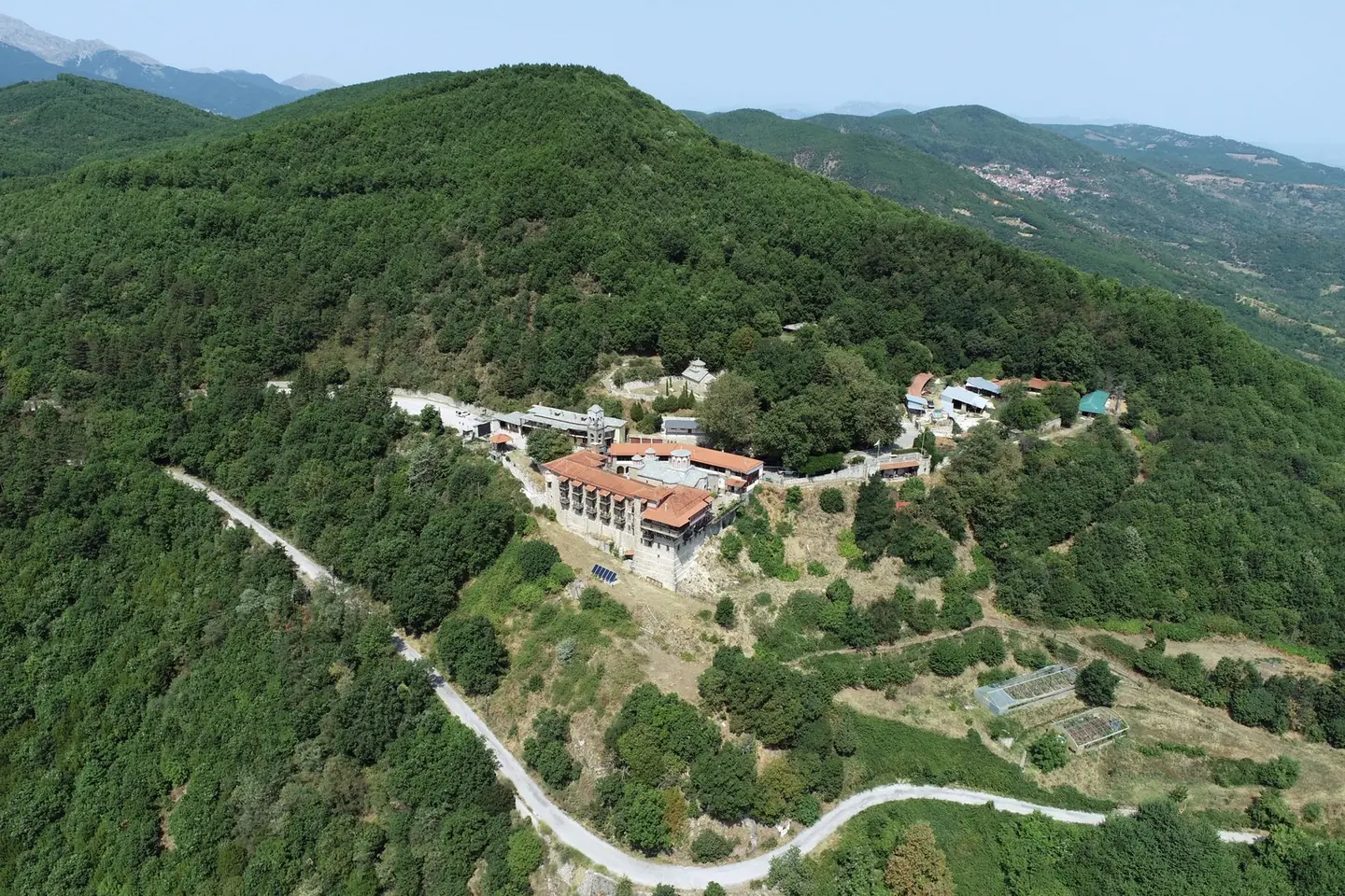
Holy Monastery of Koroni
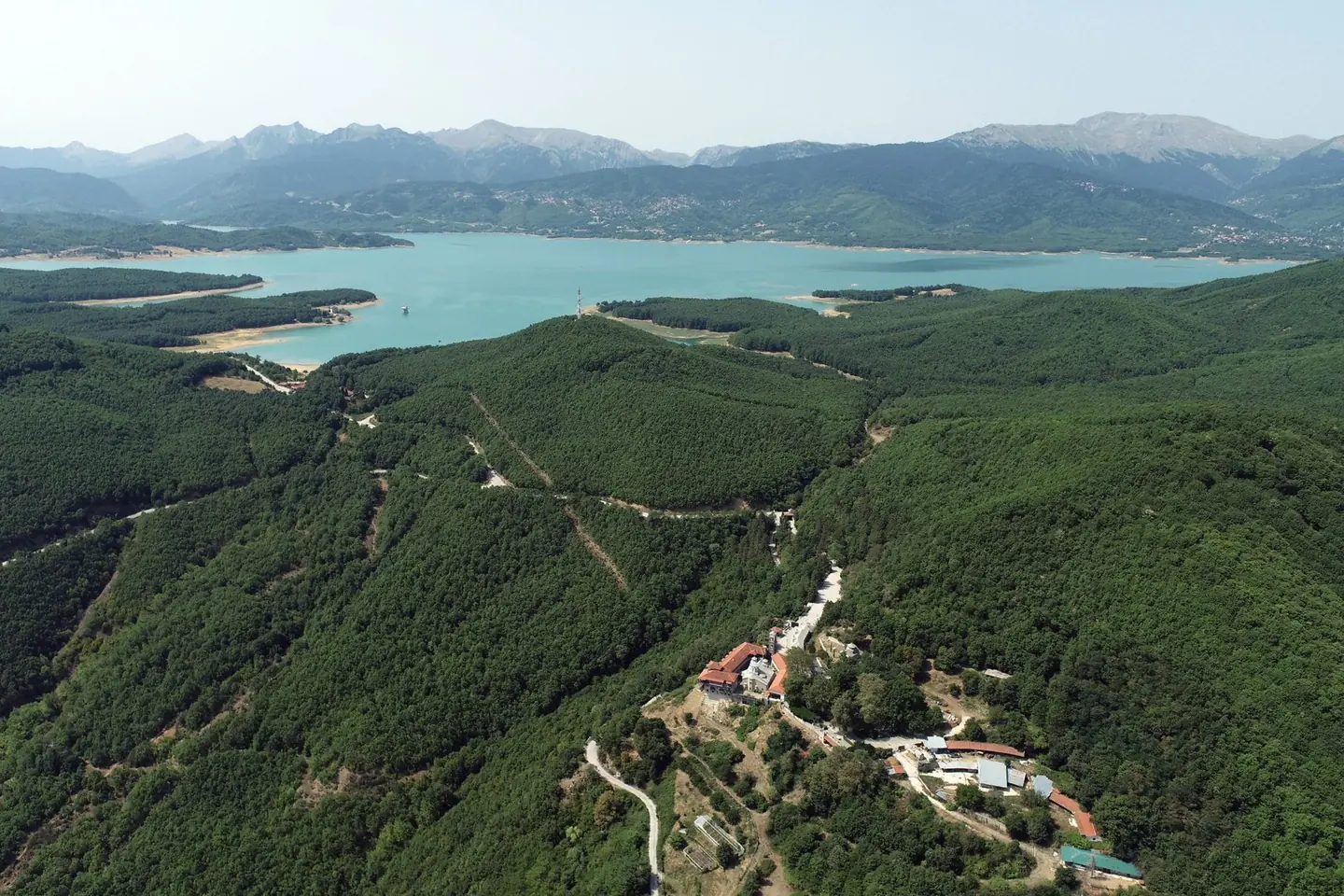
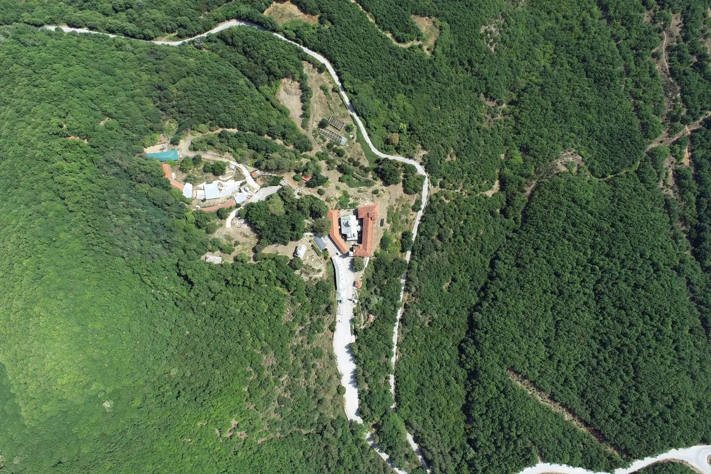
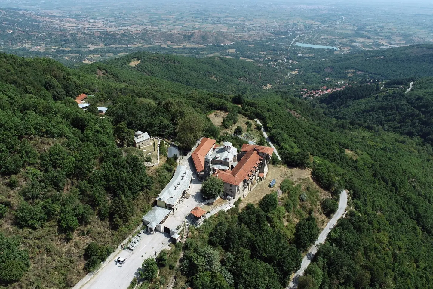
Topographic and architectural survey of the monastery for its restoration study, with a point cloud accurate to a few millimetres.

The video loads from YouTube only when you press play. Open on YouTube
The brief
The structural and architectural restoration works needed accurate drawings of the monument and its surroundings.
Our approach
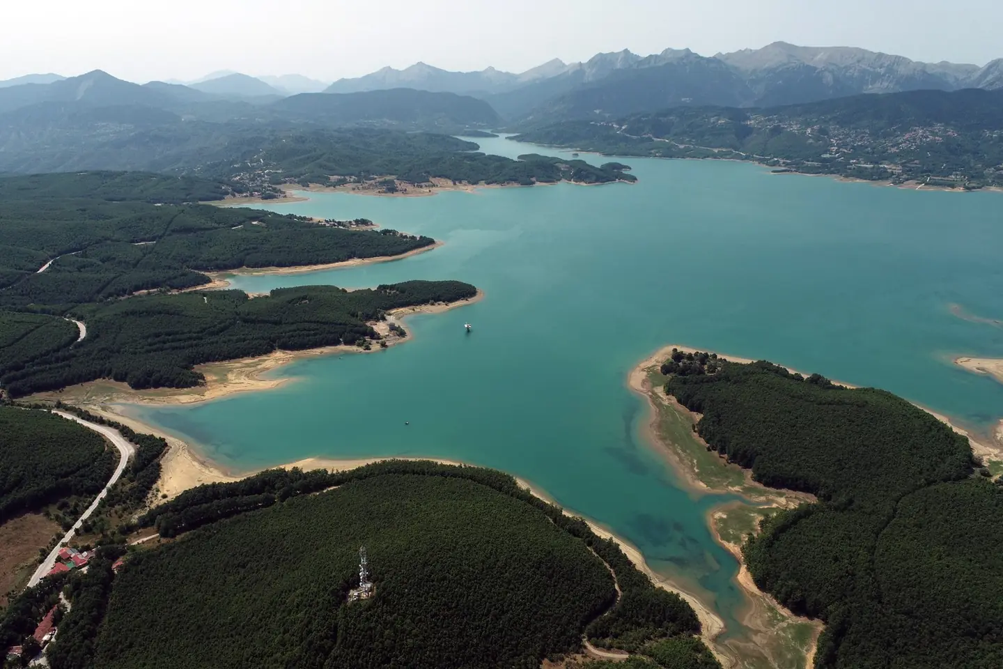
We combined ground and aerial survey: laser scanning with the FARO, drone imagery, and GNSS and a total station for the control network.
The result
Topographic survey plan, plans, elevations and sections, and a point cloud with true texture and an accuracy of a few millimetres, from ground and aerial images.
Next project
Underpass bridge in Thermi