Gallikos River
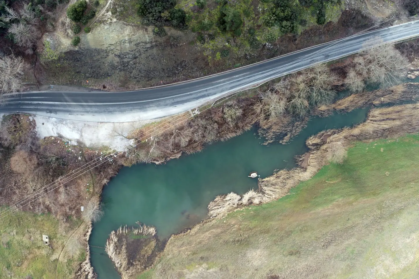
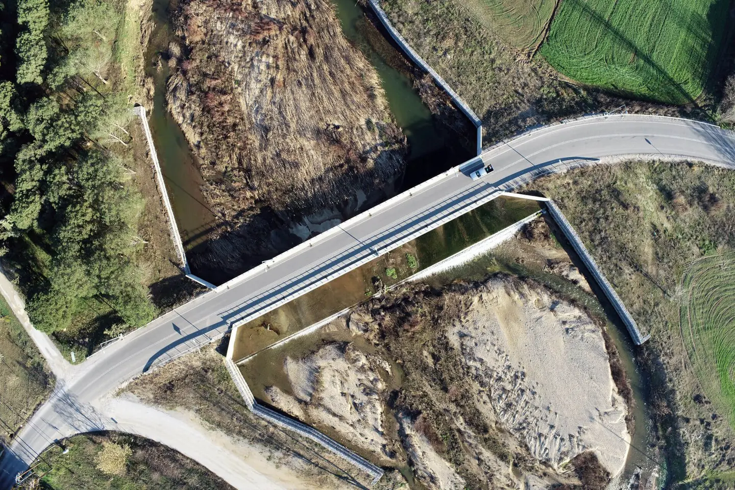
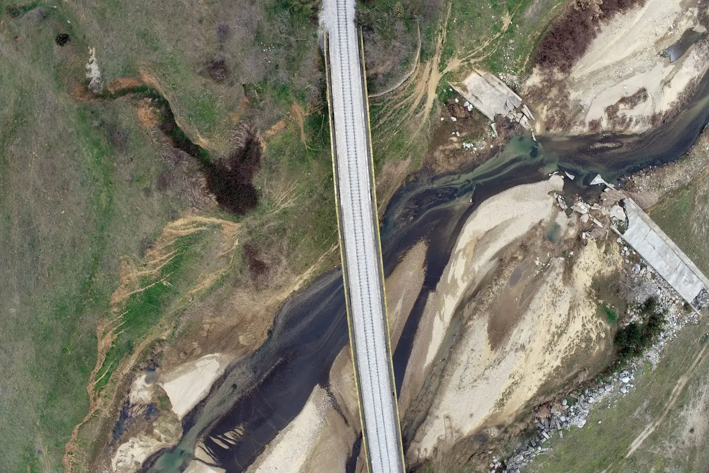
Orthophoto map and terrain model for 33 kilometres of river channel, over an area of about 20 square kilometres.

The video loads from YouTube only when you press play. Open on YouTube
The brief
The hydraulic study of the Gallikos needed a consistent, accurate base map along 33 kilometres of river channel, in a strip about 600 metres wide, in a short time.
Our approach
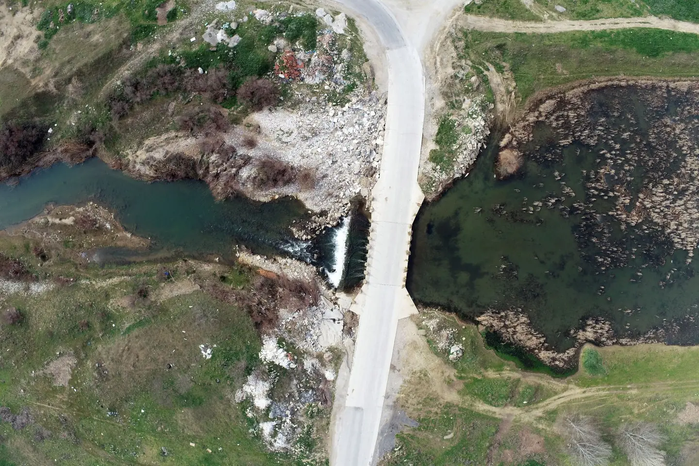
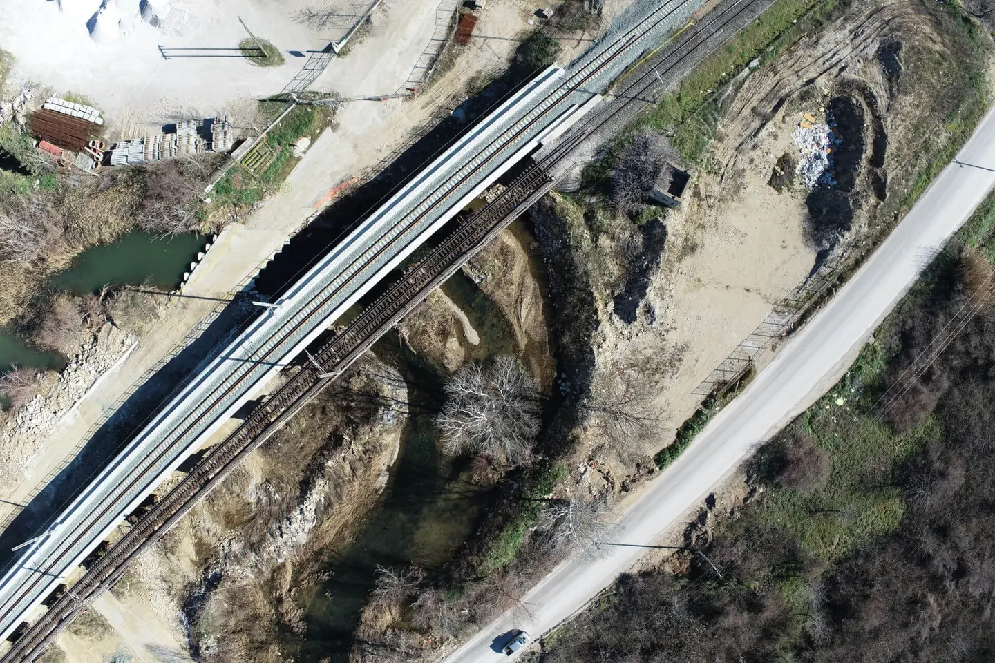
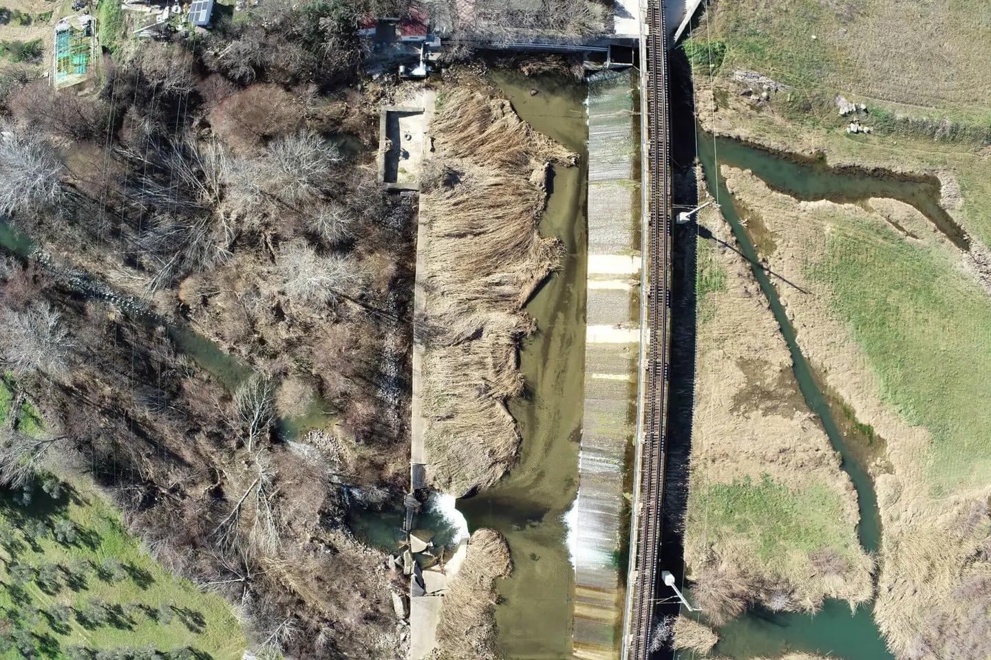
We used two drones: a fixed-wing for the large area and an RTK multirotor for detail around bridges and structures. A network of ground control points measured with GNSS kept the accuracy constant along the whole length.
The result
Orthophoto map and digital terrain model for about 20 km², with an accuracy of around 3 centimetres, ready for the hydraulic simulation and the cross-sections.
Next project
Bridge of Arta