Settlements of Santorini
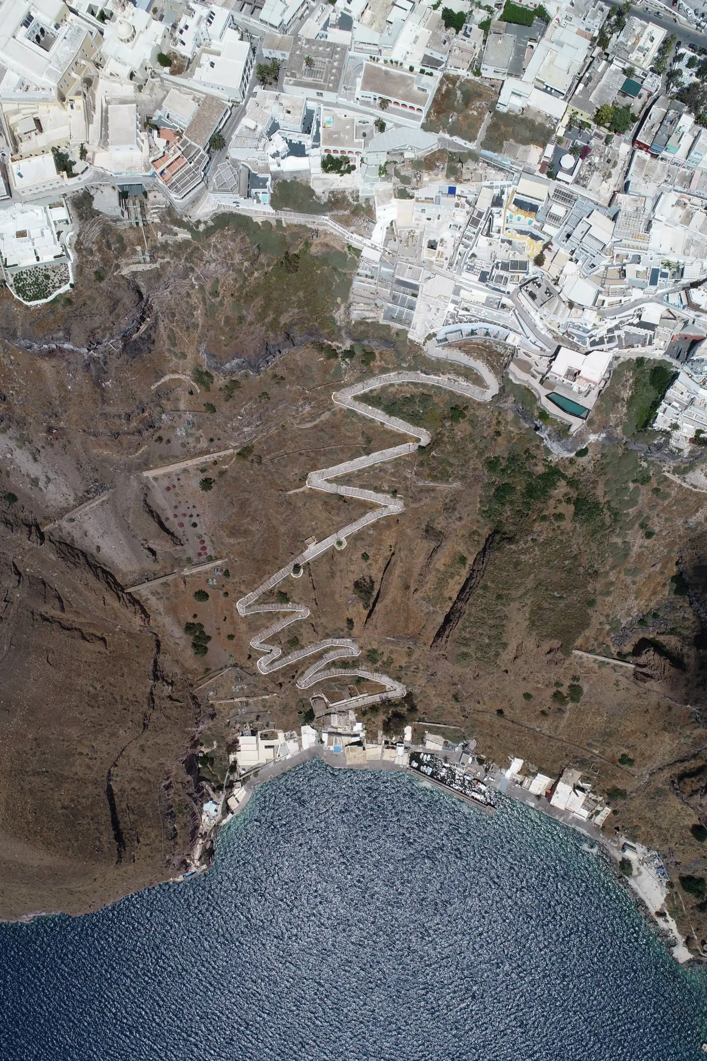
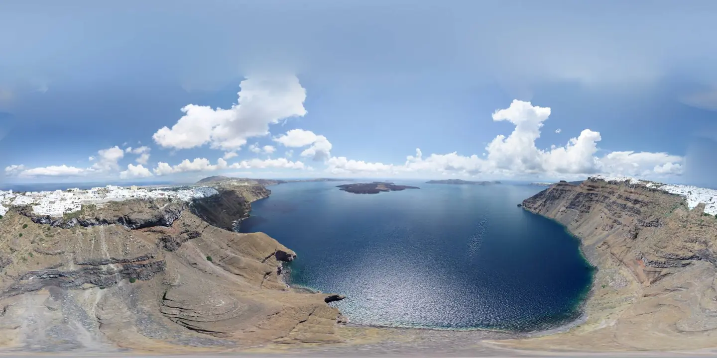
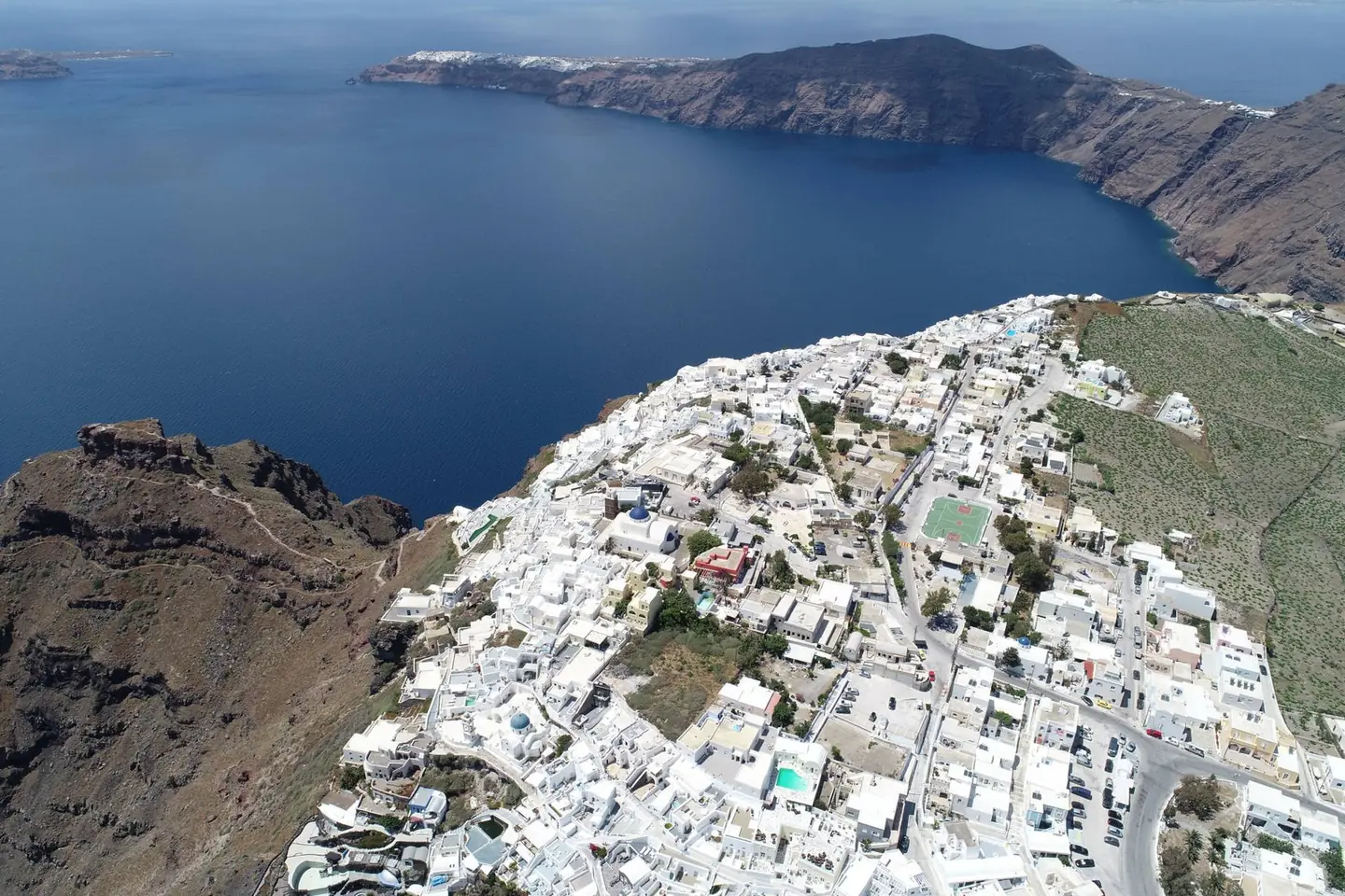
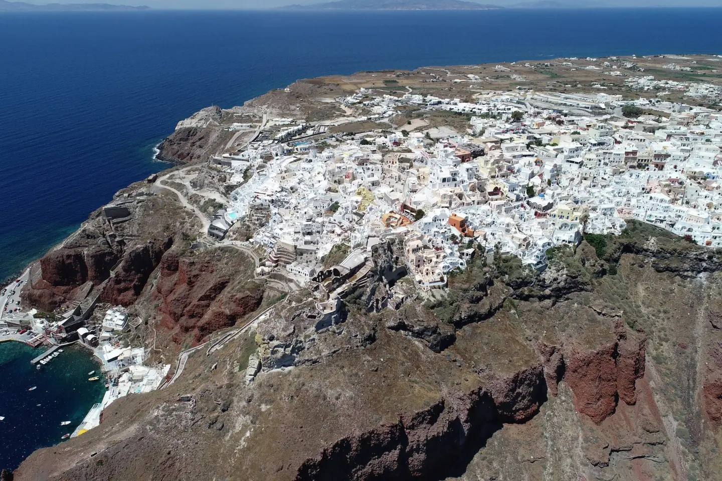
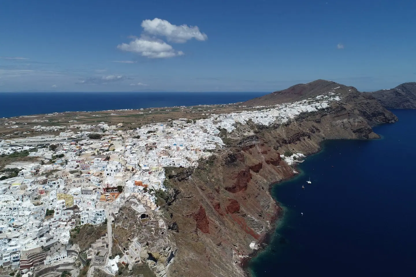
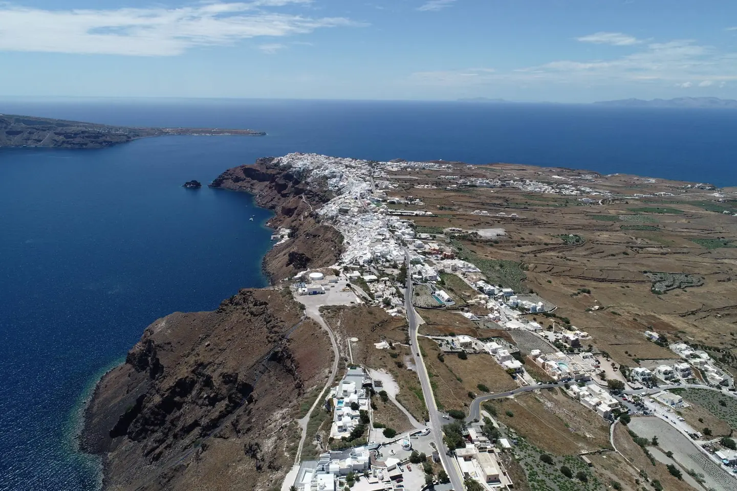
Mapping of most of the settlements of Santorini from the air and from the ground, with an orthophoto map accurate to 2–3 centimetres.

The video loads from YouTube only when you press play. Open on YouTube
The brief
Dense building on steep slopes, narrow cobbled lanes, and flights in airspace that requires coordination with the Hellenic Civil Aviation Authority.
Our approach
In coordination with the Civil Aviation Authority we planned low-altitude flights with high overlap, so that the vertical surfaces of the buildings were also properly covered.
The result
Thousands of high-resolution aerial photographs produced a point cloud, a digital surface model and an orthophoto map accurate to 2–3 centimetres. Combined with the ground measurements, they were used to prepare topographic survey plans, building coverage plans and cadastral plans.
Next project
The Bema of the Apostle Paul