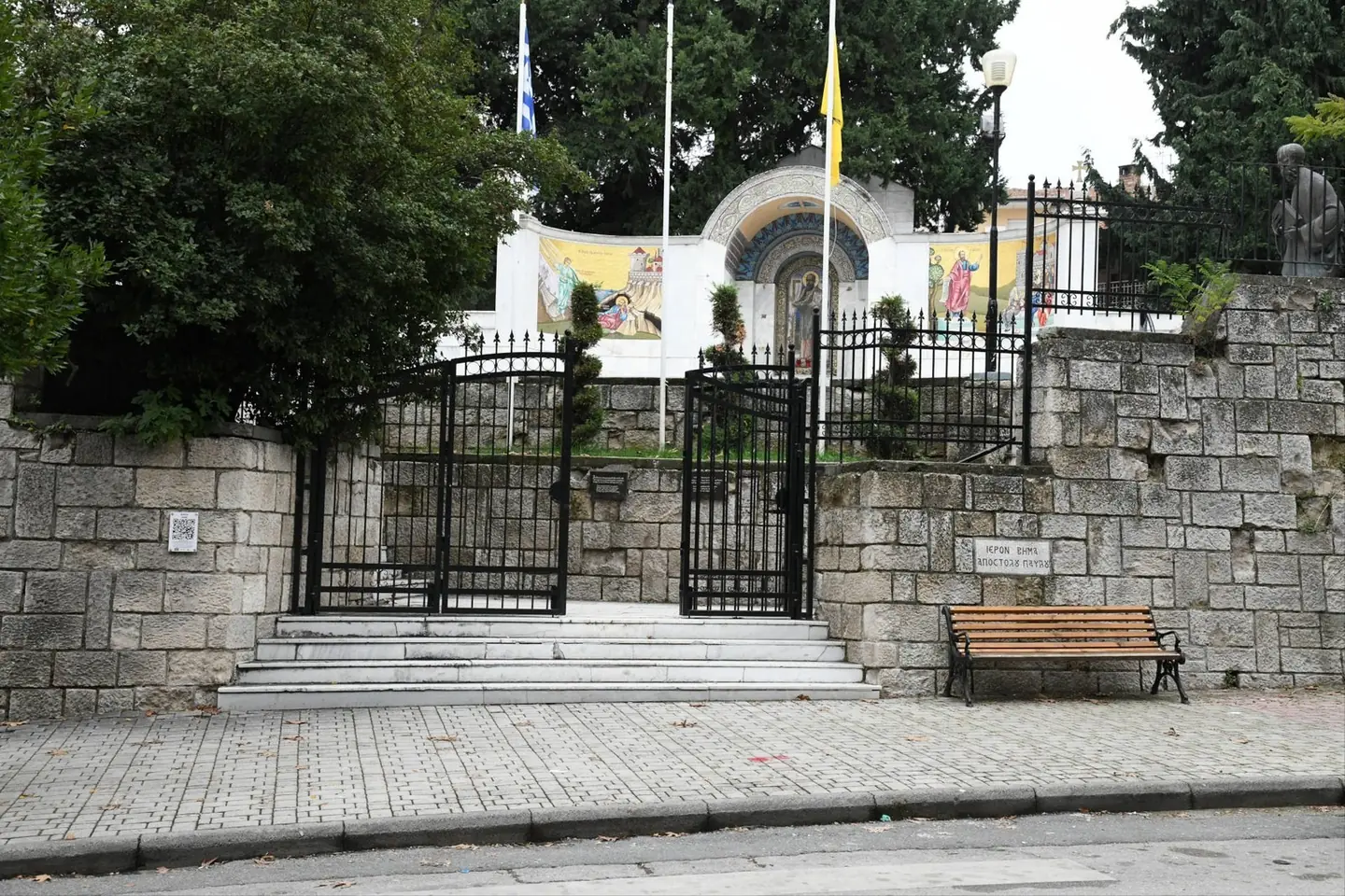
The Bema of the Apostle Paul
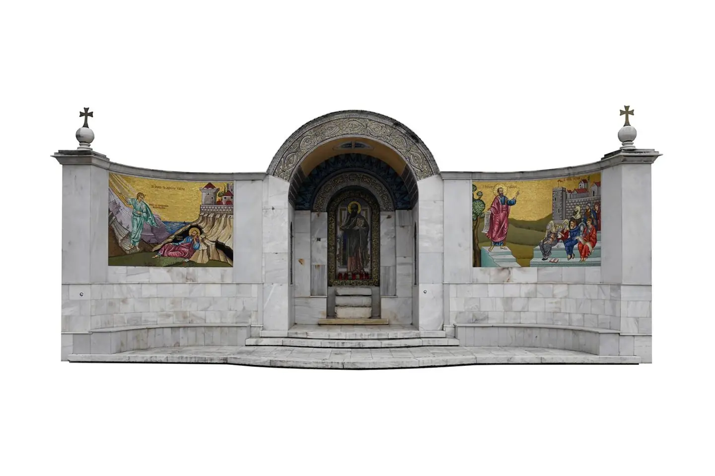
3D recording of the historic site for its conservation and redevelopment, with a point cloud accurate to a few millimetres.

The video loads from YouTube only when you press play. Open on YouTube
Point cloud in 3D
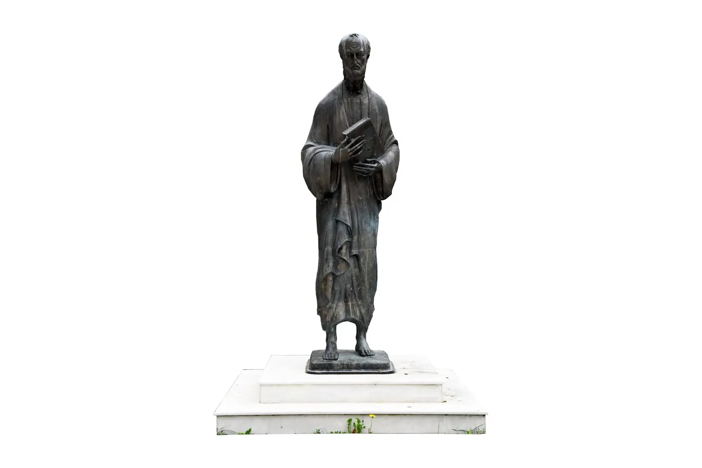
In the centre, the monument from the FARO scanner; around it, the site from the drone. To open quickly in the browser, the point cloud has been thinned to about 1 million points; the full clouds of the two scans have more than 400 million in total.
Drag to rotate, scroll or pinch to zoom, right-click or Shift to pan.
The brief
The conservation and redevelopment of the historic site needed a complete and accurate record of the monument and its surroundings, at a place that receives visitors every day.
Our approach
We established a network with GNSS receivers and a total station. We flew a drone at low altitude, with a resolution of about 1 centimetre, and scanned the whole monument site with the FARO. From the ground and aerial images and the scanner's 360° panoramas we built the virtual tour.
The result
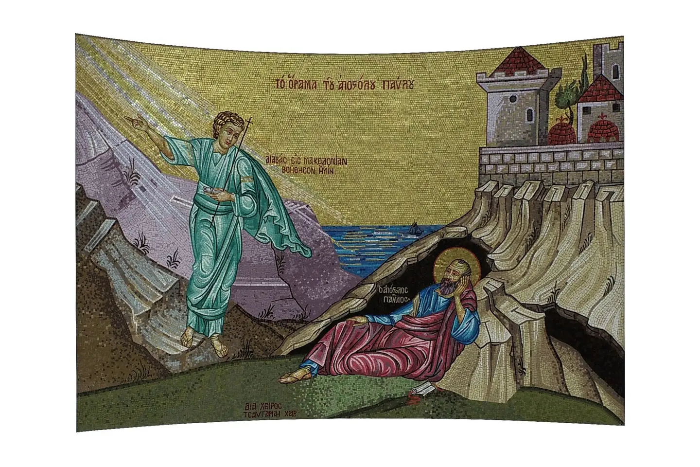
Point cloud with true texture and an accuracy of a few millimetres, a 3D model (mesh), a topographic survey plan and a large-scale plan. The virtual tour, in Greek and English, presents the site with information, images and audio for each point of the monument.
Next project
Kriaritsi, Halkidiki